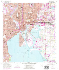
1956 Map of Tampa
USGS Topo · Published 1988About this map
The Hillsborough River cuts through the center of this mid-century Florida landscape, separating the dense urban core of Tampa from the industrial waterfronts and residential growth of the mid-1950s. The map highlights a complex maritime economy concentrated around MC Kay Bay, where Ybor Channel, Sparkman Channel, and Garrison Channel facilitate heavy shipping. Notable for its cultural markers, the area around Ybor City is shown with its distinctive street grid and numerous educational and religious landmarks, including the V M Ybor Sch and Most Holy Name Sch.
Find a feature on this map
107 named features on this map. Tap any name to fly to it.
Don’t see what you’re looking for? This feature index may not catch every label — zoom into the map to look around manually.
Map Details
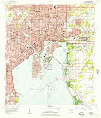
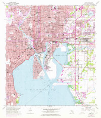
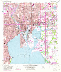
Editions of this 1956 Tampa Map
4 editions found
Other maps of this area

1921 · Tampa
USGS Topo · 1:62,500

1921 · St Petersburg
USGS Topo · 1:62,500

1943 · Gandy Bridge
USGS Topo · 1:31,680

1943 · Port Tampa
USGS Topo · 1:31,680

1943 · Thonotosassa
USGS Topo · 1:24,000

1944 · Sulphur Springs
USGS Topo · 1:31,680

1944 · Mango
USGS Topo · 1:31,680

1944 · Tampa
USGS Topo · 1:31,680

1944 · Thonotosassa
USGS Topo · 1:31,680

1944 · Balm
USGS Topo · 1:31,680