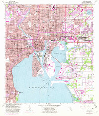
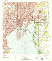
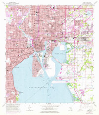
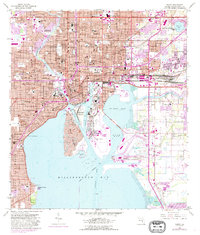
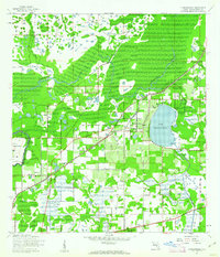
1956 Map of Tampa
USGS Topo · Published 1982About this map
Ybor City and the industrial waterfront of Tampa define this mid-century portrait of a growing Gulf Coast hub. The complex geography of the port is visible through the channels surrounding Seddon Island and Hookers Point, where the Sparkman Channel and Ybor Channel facilitate heavy maritime commerce. On the Interbay Peninsula, the residential expansion of Palma Ceia sits north of the massive footprint of Mac Dill Air Force Base.
Find a feature on this map
98 named features on this map. Tap any name to fly to it.
Don’t see what you’re looking for? This feature index may not catch every label — zoom into the map to look around manually.
Map Details
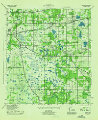
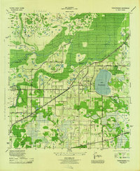
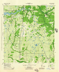
Editions of this 1956 Tampa Map
4 editions found
Other maps of this area

1921 · Tampa
USGS Topo · 1:62,500

1921 · St Petersburg
USGS Topo · 1:62,500

1943 · Gandy Bridge
USGS Topo · 1:31,680

1943 · Port Tampa
USGS Topo · 1:31,680
1943 · Thonotosassa
USGS Topo · 1:24,000

1944 · Sulphur Springs
USGS Topo · 1:31,680
1944 · Mango
USGS Topo · 1:31,680

1944 · Tampa
USGS Topo · 1:31,680
1944 · Thonotosassa
USGS Topo · 1:31,680
1944 · Balm
USGS Topo · 1:31,680