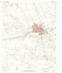
1964 Map of Taylor
USGS Topo · Published 1986About this map
The city of Taylor serves as a significant rail and agricultural hub in this 1964 mid-century survey. Positioned at the intersection of the Missouri Pacific and Missouri Kansas Texas railroads, the town shows a dense grid of streets supporting numerous community institutions, including Memorial Ch, Trinity Ch, and the West End Sch. Beyond the residential core, industrial and recreational features such as the City Airport, the Rodeo Ground, and a Drive-in Theater reflect the era's local growth. To the west, the landscape transitions into the blackland prairies near Frame Switch, marked by the winding courses of North Fork Mustang Creek and Little Mustang Creek. Genealogists will find particular value in the documentation of the Taylor Cemetery, St Marys Cem, and Guadalupe Cem, while the inclusion of the Battleground terrain label hints at the region's deeper historical layers.
Find a feature on this map
42 named features on this map. Tap any name to fly to it.
Don’t see what you’re looking for? This feature index may not catch every label — zoom into the map to look around manually.
Map Details
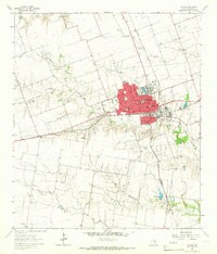
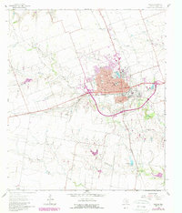
Editions of this 1964 Taylor Map
3 editions found
Other maps of this area

1885 · Taylor
USGS Topo · 1:125,000

1885 · Bastrop
USGS Topo · 1:125,000

1887 · Taylor
USGS Topo · 1:125,000

1893 · Georgetown
USGS Topo · 1:125,000

1893 · Bastrop
USGS Topo · 1:125,000

1894 · Taylor
USGS Topo · 1:125,000

1896 · Austin
USGS Topo · 1:125,000

1897 · Austin
USGS Topo · 1:125,000

1904 · Bastrop
USGS Topo · 1:125,000

1910 · Austin
USGS Topo · 1:125,000