
1950 Map of Teller A-3
USGS Topo · Published 1957About this map
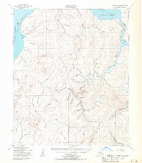
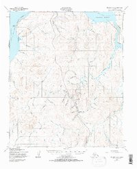
Sullivan Camp serves as a lone human waypoint in this 1950 topographical study of the Seward Peninsula, situated near the headwaters of McDame Cr and Bull Pup Cr. The landscape is defined by an intricate network of drainage systems feeding into Port Clarence and Grantley Harbor, with numerous creeks bearing names like Gold Standard Cr, Wild Goose Cr, and Gold Run that hint at the region's mineral interests. Transportation through this northern terrain relies on seasonal routes rather than permanent roads, as seen in the extensive Winter Trail networks and a Tractor Trail cutting through the interior. From the coastal prominence of Cape Riley to the high inland ridges, the map documents a geography of survival and resource extraction where the orientation of every Bering Cr or Yellowstone Creek dictated the movement of goods and people.
Find a feature on this map
61 named features on this map. Tap any name to fly to it.
Don’t see what you’re looking for? This feature index may not catch every label — zoom into the map to look around manually.
Map Details
Editions of this 1950 Teller A-3 Map
3 editions found
Other maps of this area

1950 · Nome D-2
USGS Topo · 1:63,360

1950 · Nome D-4
USGS Topo · 1:63,360

1950 · Nome
USGS Topo · 1:250,000

1950 · Teller
USGS Topo · 1:250,000

1950 · Teller A-2
USGS Topo · 1:63,360

1950 · Nome D-3
USGS Topo · 1:63,360

1950 · Teller B-4
USGS Topo · 1:63,360

1950 · Teller B-2
USGS Topo · 1:63,360

1950 · Teller A-4
USGS Topo · 1:63,360

1950 · Teller B-3
USGS Topo · 1:63,360