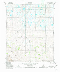
1950 Map of Teller D-1
USGS Topo · Published 1982About this map
Bering Land Bridge National Preserve dominates the northern reaches of this landscape, where the Serpentine River and its South Fork Serpentine Creek carve through the Seward Peninsula. The terrain is defined by the Continental Divide and the prominent Lone Butte, marking a vast watershed that feeds numerous drainages like Eldorado Creek and Teller Creek. Evidence of seasonal movement and early land use is found in the Winter Trail and a solitary Cabin located near the eastern edge of the quadrangle.
Find a feature on this map
21 named features on this map. Tap any name to fly to it.
Don’t see what you’re looking for? This feature index may not catch every label — zoom into the map to look around manually.
Map Details
Editions of this 1950 Teller D-1 Map
4 editions found

Other maps of this area

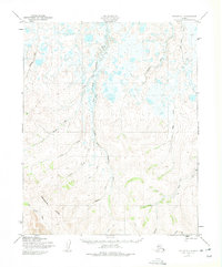
1950 · Bendeleben C-6
USGS Topo · 1:63,360

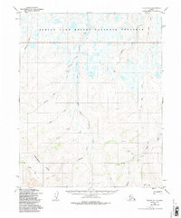
1950 · Bendeleben D-6
USGS Topo · 1:63,360

1950 · Teller
USGS Topo · 1:250,000

1950 · Bendeleben
USGS Topo · 1:250,000

1950 · Shishmaref
USGS Topo · 1:250,000

1950 · Shishmaref A-1
USGS Topo · 1:63,360

1950 · Kotzebue A-6
USGS Topo · 1:63,360

1950 · Teller D-2
USGS Topo · 1:63,360

1950 · Shishmaref A-2
USGS Topo · 1:63,360

1950 · Teller C-2
USGS Topo · 1:63,360