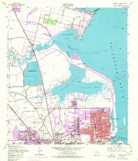
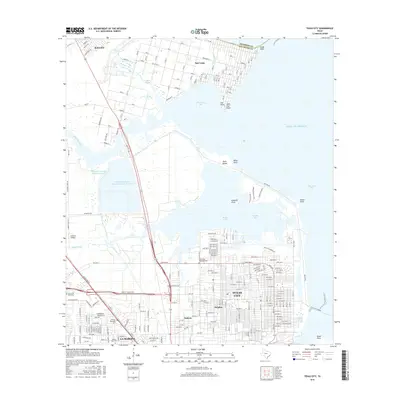
1943 Map of Texas City
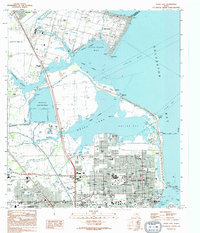
USGS Topo · Published 1952About this map
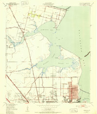
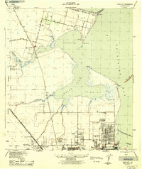
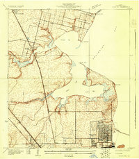
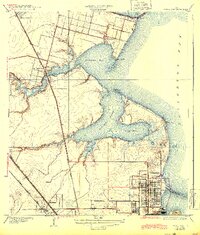
Texas City serves as the industrial anchor of this coastal survey, appearing just years after the end of World War II. The landscape reveals a complex network of energy production and transportation, defined by numerous Oil Wells and Gas Wells that dot the lowlands between Lamarque and the shoreline. The massive Texas City Dike extends far into Galveston Bay, protecting the vital Texas City Channel and the busy Texas City Terminal rail yards. To the north, the smaller settlement of San Leon sits at the junction of Dickinson Bay and the open water, supported by the San Leon Station along the Southern Pacific line. This era captures the region's rapid industrialization, with workers' housing at Humble Camp and residential growth in Heights and Nadeau showing the mid-century transformation of the Galveston County coast.
Find a feature on this map
37 named features on this map. Tap any name to fly to it.
Don’t see what you’re looking for? This feature index may not catch every label — zoom into the map to look around manually.
Map Details
Editions of this 1943 Texas City Map
2 editions found
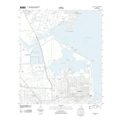
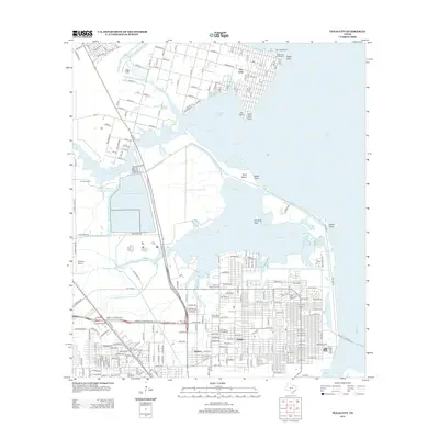
Historical Maps of League City Through Time
10 maps found
1929 Texas City
Galveston County, TX
1932 Texas City
Galveston County, TX
1943 Texas City
Galveston County, TX
1954 Texas City
Galveston County, TX
1994 Texas City
Galveston County, TX
2010 Texas City
Galveston County, TX
2013 Texas City
Galveston County, TX
2016 Texas City
Galveston County, TX
2019 Texas City
Galveston County, TX
2022 Texas City
Galveston County, TX