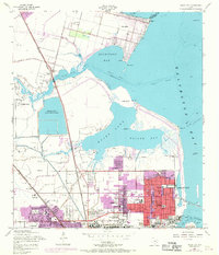
1954 Map of Texas City
USGS Topo · Published 1970About this map
Texas City and the surrounding coastal landscape of Galveston Bay are documented in this mid-century survey, revised with late-1960s urban expansions. The map illustrates a heavily industrialized shoreline dominated by the Texas City Ship Channel and the massive Texas City Dike reaching into the bay. In addition to the urban core, the layout of surrounding communities like San Leon, Nadeau, and La Marque is visible, alongside the sprawling Galveston County Industrial Water Reservoir. Local life is recorded through neighborhood landmarks including the Drive-in Theater, the Gulf Coast Airport, and numerous educational institutions such as Franklin Roosevelt Sch and Danforth Sch. The Southern Pacific and Texas City Terminal railroads highlight the critical transportation infrastructure supporting the region's mid-century economic growth and maritime trade.
Find a feature on this map
47 named features on this map. Tap any name to fly to it.
Don’t see what you’re looking for? This feature index may not catch every label — zoom into the map to look around manually.
Map Details
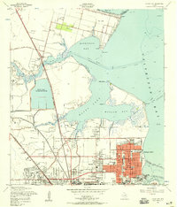
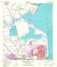
Editions of this 1954 Texas City Map
3 editions found
Other maps of this area

1916 · Seabrook
USGS Topo · 1:24,000

1920 · Seabrook
USGS Topo · 1:31,680

1929 · Dickinson
USGS Topo · 1:24,000

1929 · Hitchcock
USGS Topo · 1:24,000

1929 · Virginia Point
USGS Topo · 1:24,000

1929 · Texas City
USGS Topo · 1:24,000

1930 · Galveston
USGS Topo · 1:24,000

1932 · Clifton By The Sea
USGS Topo · 1:31,680

1932 · Dickinson
USGS Topo · 1:31,680
1932 · Seabrook
USGS Topo · 1:31,680