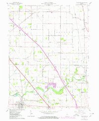
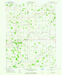
1962 Map of Thorntown
USGS Topo · Published 1980About this map
Sugar Creek winds across this mid-century landscape, defining the topography south of Thorntown. This area, situated along the Clinton Co and Boone Co line, reflects a deeply established agricultural and rural community. The map reveals the historical placement of essential local landmarks, from the Township Sch to several country churches like Kinder Ch and Pleasant Hill Ch.
Find a feature on this map
53 named features on this map. Tap any name to fly to it.
Don’t see what you’re looking for? This feature index may not catch every label — zoom into the map to look around manually.
Map Details
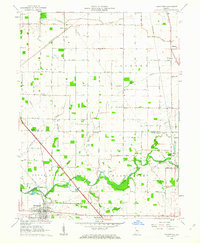
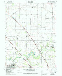
Editions of this 1962 Thorntown Map
3 editions found
Other maps of this area

1953 · Lebanon
USGS Topo · 1:24,000

1953 · Danville
USGS Topo · 1:250,000

1955 · Danville
USGS Topo · 1:250,000

1956 · Danville
USGS Topo · 1:250,000

1961 · Michigantown
USGS Topo · 1:24,000

1961 · Mulberry
USGS Topo · 1:24,000

1961 · Mechanicsburg
USGS Topo · 1:24,000

1961 · Frankfort
USGS Topo · 1:24,000
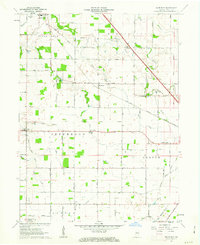
1961 · Hazelrigg
USGS Topo · 1:24,000
1961 · Shannondale
USGS Topo · 1:24,000