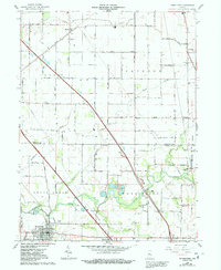
1962 Map of Thorntown
USGS Topo · Published 1992About this map
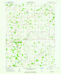
Thorntown serves as the primary hub of this landscape, situated near the confluence of several local waterways. The area is defined by its agricultural layout and the diagonal path of the Conrail railroad, which passes through the small settlement of Manson. A notable historical landmark is the Old Indian Boundary, which cuts across the terrain in a straight line, contrasting with the meandering path of Sugar Creek. Genealogy researchers will find numerous rural burial grounds, including Manson Cem, Gipson Cem, and Brush Creek Cem, often located near modest country houses of worship like Kinder Ch and Newhope Ch. The presence of several gravel pits and a Township School reflects a mid-century rural economy focused on local infrastructure and education. This topography effectively documents the transition from early settlement patterns to the established farm grids of the twentieth century.
Find a feature on this map
37 named features on this map. Tap any name to fly to it.
Don’t see what you’re looking for? This feature index may not catch every label — zoom into the map to look around manually.
Map Details
Editions of this 1962 Thorntown Map
3 editions found
Other maps of this area

1953 · Lebanon
USGS Topo · 1:24,000

1953 · Danville
USGS Topo · 1:250,000

1955 · Danville
USGS Topo · 1:250,000

1956 · Danville
USGS Topo · 1:250,000

1961 · Michigantown
USGS Topo · 1:24,000

1961 · Mulberry
USGS Topo · 1:24,000

1961 · Mechanicsburg
USGS Topo · 1:24,000

1961 · Frankfort
USGS Topo · 1:24,000
1961 · Hazelrigg
USGS Topo · 1:24,000
1961 · Shannondale
USGS Topo · 1:24,000