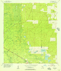
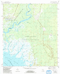
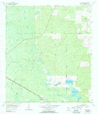
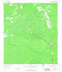
1955 Map of Tidewater
USGS Topo · Published 1956This historical map portrays the area of Tidewater in 1955, primarily covering Levy County as well as portions of Marion County. Featuring a scale of 1:24000, this map provides a highly detailed snapshot of the terrain, roads, buildings, counties, and historical landmarks in the Tidewater region at the time. Published in 1956, it is one of 3 known editions of this map due to revisions or reprints.
Find a feature on this map
19 named features on this map. Tap any name to fly to it.
Don’t see what you’re looking for? This feature index may not catch every label — zoom into the map to look around manually.
Map Details
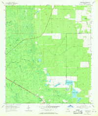
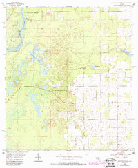
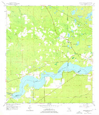
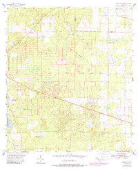
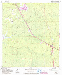
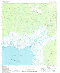
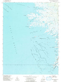
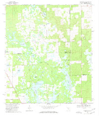
Editions of this 1955 Tidewater Map
3 editions found
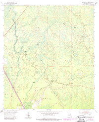
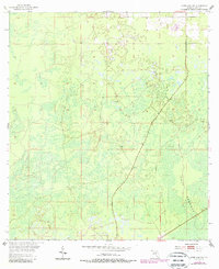
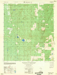
Historical Maps of Marion County Through Time
18 maps found
1954 Bronson SW
Levy County, FL
1954 Chiefland SW
Levy County, FL
1954 East Pass
Levy County, FL
1954 Manatee Springs
Levy County, FL
1954 Yankeetown SE
Levy County, FL
1955 Bronson NE
Levy County, FL
1955 Bronson SE
Levy County, FL
1955 Lebanon Station
Levy County, FL
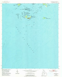
1955 Seahorse Key
Levy County, FL
1955 Sumner
Levy County, FL
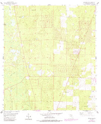
1955 Tidewater
Levy County, FL
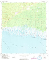
1955 Waccasassa Bay
Levy County, FL
1955 Withlacoochee Bay
Levy County, FL
1957 Bronson SE
Levy County, FL
1968 Lebanon Station
Levy County, FL
1968 Newberry SW
Levy County, FL
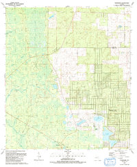
1991 Tidewater
Levy County, FL

1991 Yankeetown SE
Levy County, FL