
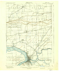
1901 Map of Tonawanda
USGS Topo · Published 1901About this map
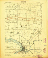
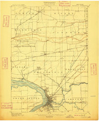
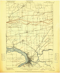
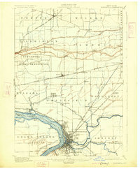
The industrial and transit convergence at North Tonawanda and Tonawanda anchors this 1901 survey, revealing a landscape defined by the Erie Canal and a dense network of competing rail lines. As a critical junction between the Great Lakes and the Atlantic, the area shows the early development of Martinsville and Ellicott along the canal's path. Northward, the Tuscarora Indian Reservation occupies the center of the sheet, surrounded by agricultural hamlets like Sanborn and Pekin. The map documents the intricate waterways feeding the Niagara River, including Cayuga Creek and Bergholtz Creek, alongside vanished riverbank landmarks such as Peach Haven on Grand Island. This period captures the region's height as a timber and transportation hub before the large-scale suburbanization of the late twentieth century, with distinct settlements like Model City and St. Johnsburg still maintaining their individual character.
Find a feature on this map
68 named features on this map. Tap any name to fly to it.
Don’t see what you’re looking for? This feature index may not catch every label — zoom into the map to look around manually.
Map Details
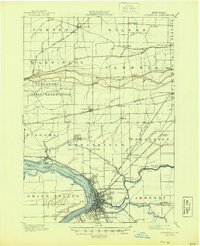
Editions of this 1901 Tonawanda Map
7 editions found
Other maps of this area

1894 · Buffalo
USGS Topo · 1:62,500

1894 · Niagara Falls
USGS Topo · 1:62,500

1894 · Wilson
USGS Topo · 1:62,500

1896 · Niagara Falls
USGS Topo · 1:62,500

1897 · Tonawanda
USGS Topo · 1:62,500

1897 · Olcott
USGS Topo · 1:62,500

1897 · Lockport
USGS Topo · 1:62,500

1899 · Niagara
USGS Topo · 1:125,000

1900 · Wilson
USGS Topo · 1:62,500

1900 · Tonawanda
USGS Topo · 1:62,500