Loading...
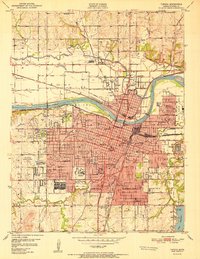
Loading map...1894 Map of Topeka
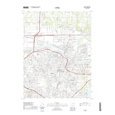
USGS Topo · Published 1904About this map
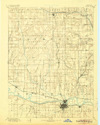
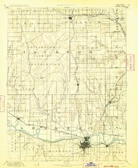
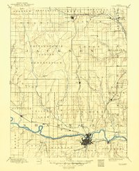
The Pottawatomie Indian Reservation occupies a significant portion of this late 19th-century Kansas landscape, anchored by the Agency and several small settlements that followed the rail lines. The Kansas River flows through the southern half of the sheet, where Topeka sits as a primary rail hub. The city is the convergence point for the Atchison Topeka and Santa Fe Railroad and the Union Pacific Railroad, which follow the river valley toward eastern townships like Tecumseh and Grantville.
Find a feature on this map
71 named features on this map. Tap any name to fly to it.
Don’t see what you’re looking for? This feature index may not catch every label — zoom into the map to look around manually.
Map Details
Date Portrayed1894
Date Published1904
PublisherU.S. Geological Survey
Map TypeTopographic
Scale1:125,000
Physical Dimensions16 x 19.8 inches
Editions of this 1894 Topeka Map
5 editions found


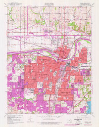
Historical Maps of Topeka Through Time
10 maps found


Featured Locations
Source Details
SourceU.S. Geological Survey
CopyrightPublic Domain