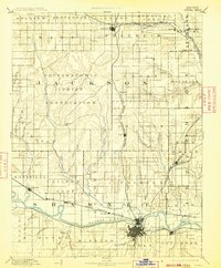
1894 Map of Topeka
USGS Topo · Published 1913About this map
The Pottawatomie Indian Reservation dominates the center of this late 19th-century landscape, providing a clear view of the complex land divisions between tribal territory and established townships. The state capital, Topeka, serves as the primary hub at the southern edge, where the Kansas River flows eastward. The region's development is defined by its early rail infrastructure, with the Union Pacific Railroad following the river corridor and the Atchison Topeka and Santa Fe Railroad branching out toward Meriden.
Find a feature on this map
73 named features on this map. Tap any name to fly to it.
Don’t see what you’re looking for? This feature index may not catch every label — zoom into the map to look around manually.
Map Details
Editions of this 1894 Topeka Map
5 editions found

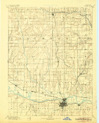
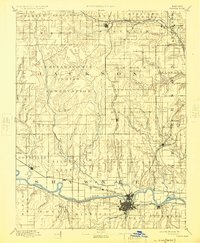
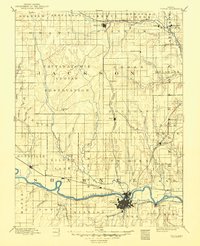
Other maps of this area

1885 · Eskridge
USGS Topo · 1:125,000

1885 · Atchison
USGS Topo · 1:125,000

1885 · Lawrence
USGS Topo · 1:125,000

1886 · Oskaloosa
USGS Topo · 1:125,000

1888 · Oskaloosa
USGS Topo · 1:125,000

1888 · Atchison
USGS Topo · 1:125,000

1888 · Hiawatha
USGS Topo · 1:125,000

1889 · Burlingame
USGS Topo · 1:125,000

1889 · Seneca
USGS Topo · 1:125,000

1889 · Wamego
USGS Topo · 1:125,000