
1900 Map of Tully
USGS Topo · Published 1900About this map
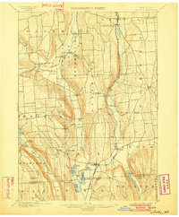
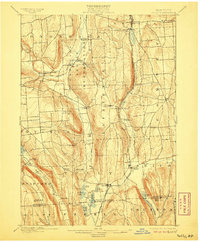
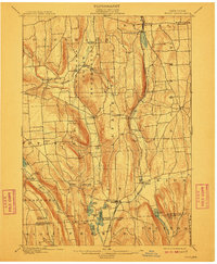
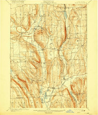
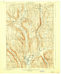
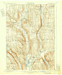
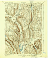
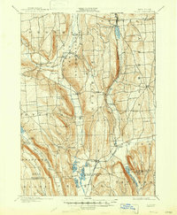
The Onondaga Indian Reservation occupies a central valley in this late 19th-century survey, flanked by the steep ridges of the Onondaga and Lafayette uplands. The landscape is defined by its deep glacial valleys, containing numerous water bodies like Otisco Lake and the chain of kettle lakes near Tully, including Tully Lake and Song Lake. The map reveals a sophisticated transport network of the era, with the Delaware Lackawanna and Western railroad and the Syracuse Binghamton and New York Division threading through narrow gaps to connect settlements such as Onativia and Apulia Station. Geologic landmarks like Tinker Falls and Fellows Falls punctuate the drainage basins, while smaller hamlets like Maple Grove (Case P.O.) and Onondaga Castle show the established rural post office and community structure before the widespread adoption of motorized transit.
Find a feature on this map
54 named features on this map. Tap any name to fly to it.
Don’t see what you’re looking for? This feature index may not catch every label — zoom into the map to look around manually.
Map Details
Editions of this 1900 Tully Map
9 editions found
Other maps of this area

1895 · Chittenango
USGS Topo · 1:62,500

1895 · Syracuse
USGS Topo · 1:62,500

1897 · Cazenovia
USGS Topo · 1:62,500

1898 · Syracuse
USGS Topo · 1:62,500

1898 · Moravia
USGS Topo · 1:62,500

1898 · Chittenango
USGS Topo · 1:62,500

1899 · Skaneateles
USGS Topo · 1:62,500

1899 · Cazenovia
USGS Topo · 1:62,500

1900 · Baldwinsville
USGS Topo · 1:62,500

1902 · Skaneateles
USGS Topo · 1:62,500