Loading...
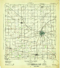
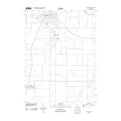
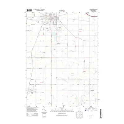
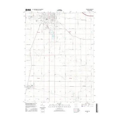
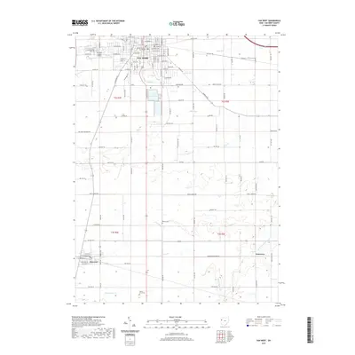
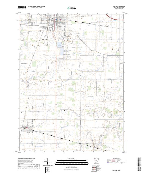
Loading map...1960 Map of Van Wert
USGS Topo · Published 1972About this map
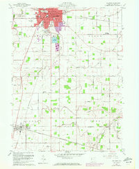
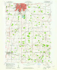
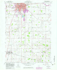
Van Wert serves as the focal point of this Northwest Ohio landscape, shown at a time of urban expansion. The 1972 revisions highlight new residential and industrial growth in purple, particularly near the Fairground and along the Penn Central rail lines. This survey captures a dense network of local institutions, including the Marsh Foundation Sch and the St Marys Sch, alongside essential infrastructure like the Van Wert Airport and the City Reservoir.
Find a feature on this map
53 named features on this map. Tap any name to fly to it.
Don’t see what you’re looking for? This feature index may not catch every label — zoom into the map to look around manually.
Map Details
Date Portrayed1960
Date Published1972
PublisherU.S. Geological Survey
Map TypeTopographic
Scale1:24,000
Physical Dimensions22.1 x 27 inches
Editions of this 1960 Van Wert Map
3 editions found
Historical Maps of Van Wert Through Time
8 maps found
Featured Locations
Source Details
SourceU.S. Geological Survey
CopyrightPublic Domain