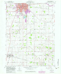
1960 Map of Van Wert
USGS Topo · Published 1983About this map
Van Wert serves as the focal point of this Northwest Ohio landscape, shown during a period of urban expansion marked in purple. The city is a hub for the Conrail and Norfolk and Western railroads, which intersect near industrial corridors and the Fairground. To the south, the terrain opens into the agricultural reaches of Liberty and York townships, where the Little Auglaize River and Prairie Creek meander through the flat till plains.
Find a feature on this map
60 named features on this map. Tap any name to fly to it.
Don’t see what you’re looking for? This feature index may not catch every label — zoom into the map to look around manually.
Map Details
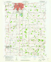
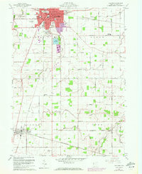
Editions of this 1960 Van Wert Map
3 editions found
Other maps of this area

1911 · Spencerville
USGS Topo · 1:62,500

1911 · Delphos
USGS Topo · 1:62,500

1914 · Celina
USGS Topo · 1:62,500

1914 · Van Wert
USGS Topo · 1:62,500

1944 · Delphos
USGS Topo · 1:62,500

1944 · Van Wert
USGS Topo · 1:62,500

1944 · Celina
USGS Topo · 1:62,500

1944 · Spencerville
USGS Topo · 1:62,500

1953 · Muncie
USGS Topo · 1:250,000

1956 · Muncie
USGS Topo · 1:250,000