
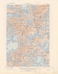
1915 Map of Vergas
USGS Topo · Published 1915About this map
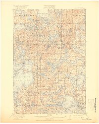
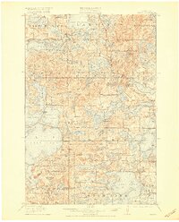
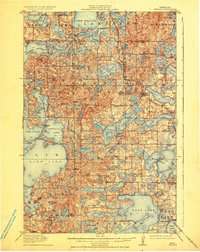
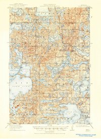
Glacial lakes and small-scale industry define this corner of the Minnesota lakelands in the early twentieth century. The Minneapolis St Paul and Sault Ste Marie railroad cuts across the northeastern townships, serving the area near Long Lake. This region was in the midst of a transition from timber and pioneer milling to a budding recreation economy, evidenced by the presence of Pelican Inn and Websters Inn alongside established industrial sites like Fricke Mill.
Find a feature on this map
97 named features on this map. Tap any name to fly to it.
Don’t see what you’re looking for? This feature index may not catch every label — zoom into the map to look around manually.
Map Details
Editions of this 1915 Vergas Map
6 editions found
Other maps of this area

1912 · Vergas
USGS Topo · 1:62,500

1912 · Battle Lake
USGS Topo · 1:62,500

1913 · Fergus Falls
USGS Topo · 1:62,500

1914 · Battle Lake
USGS Topo · 1:62,500

1914 · Pelican Rapids
USGS Topo · 1:62,500

1915 · Underwood
USGS Topo · 1:62,500

1915 · Perham
USGS Topo · 1:62,500

1917 · Pelican Rapids
USGS Topo · 1:62,500

1953 · Fargo
USGS Topo · 1:250,000

1953 · Brainerd
USGS Topo · 1:250,000
Featured Places
- Lake Eunice, MN
- Vergas, MN
- Bucks Mill, MN
- Heisler Manufactured Home Park, MN
- Mavis Frazier Trailer Park, MN