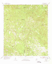
1954 Map of Vestry
USGS Topo · Published 1975About this map
De Soto National Forest dominates this mid-century landscape in southeastern Mississippi, where the headwaters of the Tchoutacabouffa River and Red Creek weave through the pine-covered hills. The map captures a transition period for rural settlements like Vestry and Beatrice as they developed alongside the logging and turpentine interests represented by Dantzler. Family history is deeply rooted here, evidenced by numerous burial grounds such as Ramsey Cem, Walker Cem, and Broadus Cem that dot the countryside between small crossroads.
Find a feature on this map
70 named features on this map. Tap any name to fly to it.
Don’t see what you’re looking for? This feature index may not catch every label — zoom into the map to look around manually.
Map Details
Editions of this 1954 Vestry Map
4 editions found

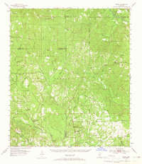
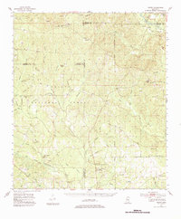
Other maps of this area

1941 · Vancleave
USGS Topo · 1:62,500

1941 · Lucedale
USGS Topo · 1:62,500

1943 · Pascagoula
USGS Topo · 1:62,500

1943 · Lucedale
USGS Topo · 1:62,500

1943 · Vancleave
USGS Topo · 1:62,500

1944 · Vancleave
USGS Topo · 1:62,500

1947 · Wiggins
USGS Topo · 1:62,500

1947 · Benndale
USGS Topo · 1:62,500

1949 · Wiggins
USGS Topo · 1:62,500

1949 · Benndale
USGS Topo · 1:62,500