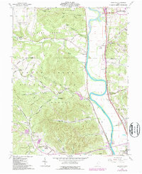
1961 Map of Wakefield
USGS Topo · Published 1987About this map
The Scioto River valley serves as a primary corridor for development and transit in this 1961 survey, where the Norfolk and Western railway parallels the eastern riverbank. At the northern edge, a high-security industrial presence is marked by the U S Reservation Atomic Energy Commission, a significant Cold War-era footprint. This industrial zone contrasts with the agrarian and residential character of river towns like Wakefield and Lucasville.
Find a feature on this map
72 named features on this map. Tap any name to fly to it.
Don’t see what you’re looking for? This feature index may not catch every label — zoom into the map to look around manually.
Map Details
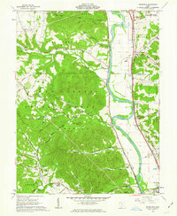
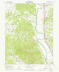
Editions of this 1961 Wakefield Map
3 editions found
Other maps of this area

1906 · Waverly
USGS Topo · 1:62,500

1908 · Waverly
USGS Topo · 1:62,500

1911 · Sciotoville
USGS Topo · 1:62,500

1913 · Sciotoville
USGS Topo · 1:62,500

1915 · Otway
USGS Topo · 1:62,500

1915 · Piketon
USGS Topo · 1:62,500

1917 · Piketon
USGS Topo · 1:62,500

1917 · Otway
USGS Topo · 1:62,500

1944 · Piketon
USGS Topo · 1:62,500

1947 · Columbus
USGS Topo · 1:250,000