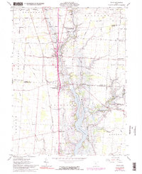
1961 Map of Waldo
USGS Topo · Published 1991About this map
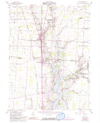
Waldo and Norton serve as the primary anchors for this region where the OlentangY River meets the expansive Delaware Reservoir Lake. The landscape is defined by the transition from structured agricultural grid-lines to the irregular, inundated contours of the Delaware Reservoir Wildlife Area. This intersection of land and water is bisected by the Penn Central rail line, which follows a north-south path through the center of the sheet, past several family-named landmarks and rural crossroads like Inskeep Corners and Smith Corners.
Find a feature on this map
56 named features on this map. Tap any name to fly to it.
Don’t see what you’re looking for? This feature index may not catch every label — zoom into the map to look around manually.
Map Details
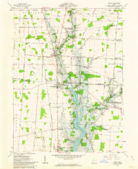
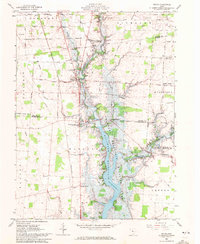
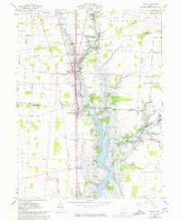
Editions of this 1961 Waldo Map
5 editions found
Other maps of this area

1903 · Marion
USGS Topo · 1:62,500

1905 · Marion
USGS Topo · 1:62,500

1913 · Mount Gilead
USGS Topo · 1:62,500

1915 · Marengo
USGS Topo · 1:62,500

1916 · Mount Gilead
USGS Topo · 1:62,500

1924 · Delaware
USGS Topo · 1:62,500

1925 · Delaware
USGS Topo · 1:62,500

1943 · Marengo
USGS Topo · 1:62,500

1943 · Mount Gilead
USGS Topo · 1:62,500

1944 · Delaware
USGS Topo · 1:62,500