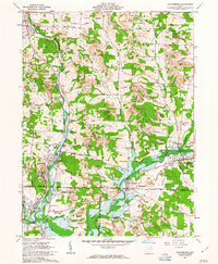
1961 Map of Waynesburg
USGS Topo · Published 1963About this map
Industrial extraction and rural life define this area at the intersection of Stark, Carroll, and Tuscarawas counties. Numerous Strip Mines and active Gas Wells dot the hillsides, particularly surrounding Howenstine and North Industry. The landscape is structured by the confluence of Nimishillen Creek and Sandy Creek, where the Pennsylvania RR and Baltimore and Ohio RR converge. Local heritage is evident in the many family-named landmarks and rural congregations like Mt Zion Ch and Centenary Chapel. The village of Magnolia serves as a central hub, flanked by the Magnolia Airport and the sprawling Evergreen Cemetery. Notably, the southern portion of the sheet reveals the historical boundary of the United States Military District, which meets the Congress Lands and the Old Seven Ranges, reflecting early American land survey systems that still dictate property lines today.
Find a feature on this map
69 named features on this map. Tap any name to fly to it.
Don’t see what you’re looking for? This feature index may not catch every label — zoom into the map to look around manually.
Map Details
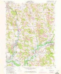
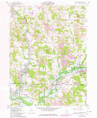
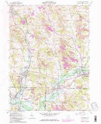
Editions of this 1961 Waynesburg Map
4 editions found
Other maps of this area

1901 · Canton
USGS Topo · 1:62,500

1903 · Canton
USGS Topo · 1:62,500

1909 · Alliance
USGS Topo · 1:62,500

1910 · Carrollton
USGS Topo · 1:62,500

1912 · Dover
USGS Topo · 1:62,500

1912 · Carrollton
USGS Topo · 1:62,500

1944 · Dover
USGS Topo · 1:62,500

1951 · Canton
USGS Topo · 1:250,000

1951 · Bolivar
USGS Topo · 1:24,000

1953 · Canton
USGS Topo · 1:250,000