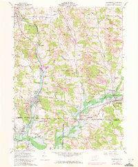
1961 Map of Waynesburg
USGS Topo · Published 1972About this map
Industrial extraction and small-town commerce define this corridor at the intersection of Stark, Carroll, and Tuscarawas counties. Numerous Strip Mines, including the notable Strip Mines Martin, are carved into the hillsides between Howenstine and Waynesburg. The landscape is a complex mix of heavy industry and rural community, where Gas Wells and Oil Wells sit adjacent to established family sites like Meldheimer Cem and the Centenary Chapel.
Find a feature on this map
77 named features on this map. Tap any name to fly to it.
Don’t see what you’re looking for? This feature index may not catch every label — zoom into the map to look around manually.
Map Details
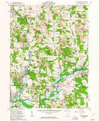
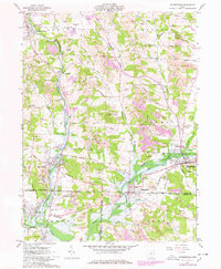
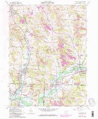
Editions of this 1961 Waynesburg Map
4 editions found
Other maps of this area

1901 · Canton
USGS Topo · 1:62,500

1903 · Canton
USGS Topo · 1:62,500

1909 · Alliance
USGS Topo · 1:62,500

1910 · Carrollton
USGS Topo · 1:62,500

1912 · Dover
USGS Topo · 1:62,500

1912 · Carrollton
USGS Topo · 1:62,500

1944 · Dover
USGS Topo · 1:62,500

1951 · Canton
USGS Topo · 1:250,000

1951 · Bolivar
USGS Topo · 1:24,000

1953 · Canton
USGS Topo · 1:250,000