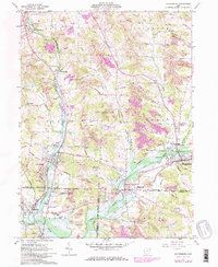
1961 Map of Waynesburg
USGS Topo · Published 1978About this map
Nimishillen Creek and Sandy Creek dominate this landscape at the intersection of Stark, Carroll, and Tuscarawas counties. In the post-war era, the region reflects a heavy industrial footprint, specifically through the numerous Strip Mine operations that pockmark the hillsides between North Industry and Waynesburg. The map documents a sophisticated transit and utility network, including the Baltimore and Ohio and Penn Central rail lines, alongside multiple pipelines and the historic Canal.
Find a feature on this map
50 named features on this map. Tap any name to fly to it.
Don’t see what you’re looking for? This feature index may not catch every label — zoom into the map to look around manually.
Map Details
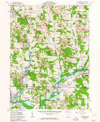
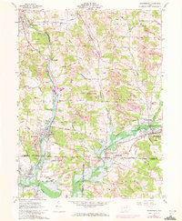
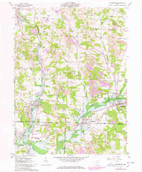
Editions of this 1961 Waynesburg Map
4 editions found
Other maps of this area

1901 · Canton
USGS Topo · 1:62,500

1903 · Canton
USGS Topo · 1:62,500

1909 · Alliance
USGS Topo · 1:62,500

1910 · Carrollton
USGS Topo · 1:62,500

1912 · Dover
USGS Topo · 1:62,500

1912 · Carrollton
USGS Topo · 1:62,500

1944 · Dover
USGS Topo · 1:62,500

1951 · Canton
USGS Topo · 1:250,000

1951 · Bolivar
USGS Topo · 1:24,000

1953 · Canton
USGS Topo · 1:250,000