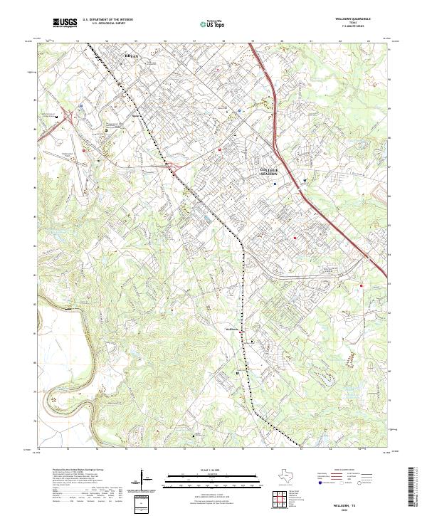
2022 Map of Wellborn
USGS Topo · Published 2022About this map
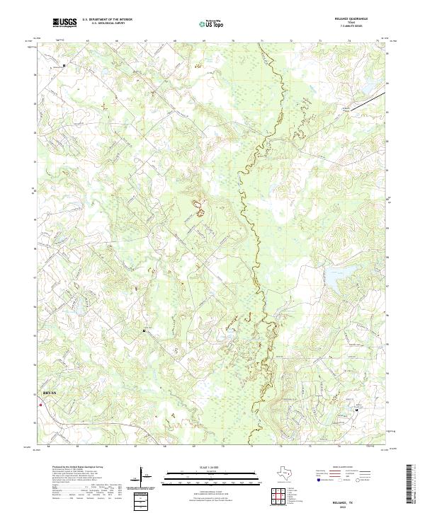
Texas A and M University anchors this modern survey of the Brazos County landscape, showcasing the sprawling academic and research corridor that defines the region. The map highlights the extensive campus facilities, including Easterwood Field and the George Herbert Walker Bush Presidential Library and Museum Cem, a site of national historical significance. Beyond the university, the landscape transitions into the residential and rural patterns of Wellborn and the outskirts of College Station and Bryan.
Find a feature on this map
314 named features on this map. Tap any name to fly to it.
Don’t see what you’re looking for? This feature index may not catch every label — zoom into the map to look around manually.
Map Details
Editions of this 2022 Wellborn Map
This is the sole edition of this map. No revisions or reprints were ever made.
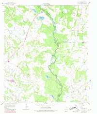
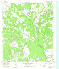
Historical Maps of Enright Through Time
17 maps found
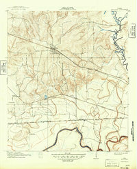
1913 Millican
Brazos County, TX
1959 Clear Lake
Brazos County, TX
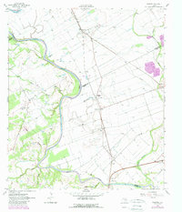
1959 Ferguson Crossing
Brazos County, TX
1959 Millican
Brazos County, TX
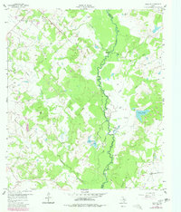
1959 Reliance
Brazos County, TX
1961 Mumford
Brazos County, TX
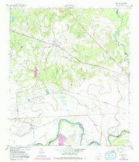
1961 Wellborn
Brazos County, TX
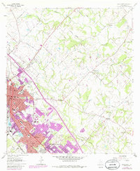
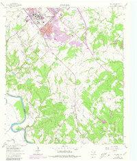
1962 Bryan East
Brazos County, TX
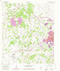
1962 Bryan West
Brazos County, TX
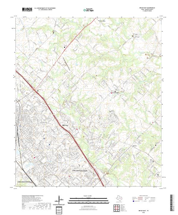
2022 Bryan East
Brazos County, TX
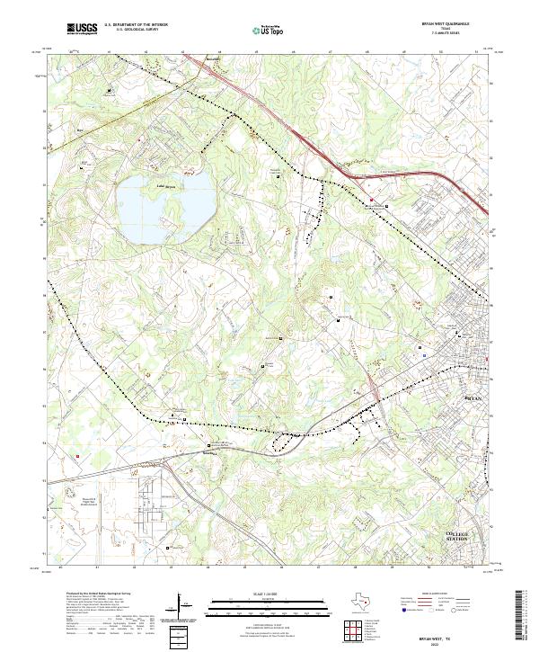
2022 Bryan West
Brazos County, TX
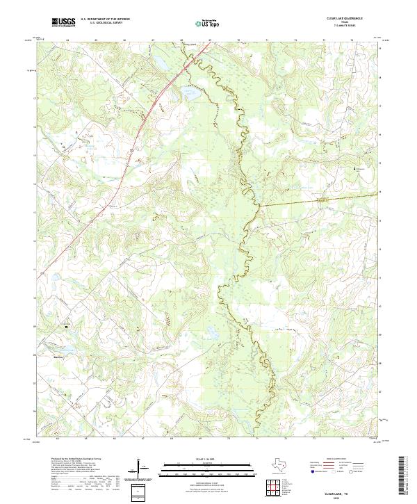
2022 Clear Lake
Brazos County, TX
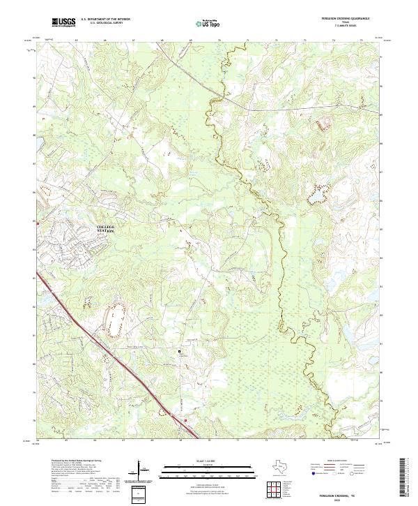
2022 Ferguson Crossing
Brazos County, TX
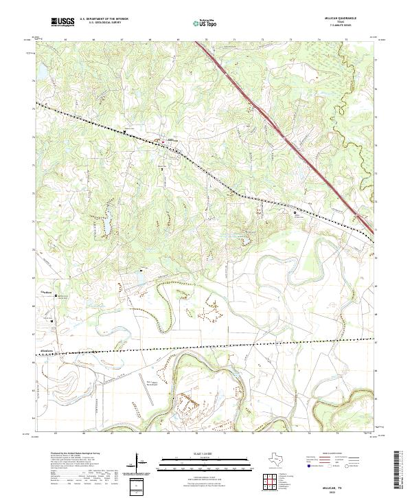
2022 Millican
Brazos County, TX
2022 Mumford
Brazos County, TX
2022 Reliance
Brazos County, TX
2022 Wellborn
Brazos County, TX