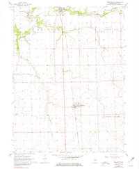
1964 Map of Wellington
USGS Topo · Published 1981About this map
Wellington and Milford anchor this mid-1960s survey of southern Iroquois County, a landscape defined by its grid-based township boundaries and deep agricultural roots. The map traces the north-south transit corridor of the Chicago and Eastern Illinois railroad, which runs parallel to the primary highway through the heart of the prairie. Along the northern edge, the wandering path of Sugar Creek provides a natural counterpoint to the straight-edged section lines, passing near the Sugar Creek Chapel and its adjacent Cem. Evidence of local industry and infrastructure is visible at the Gravel Pit near the northern border and the Chicago and Eastern Illinois Railroad Grade passing through Alonzo. The township structure is clearly marked, showing the intersections of Milford, Stockland, Lovejoy, and Prairie Green, reflecting the organized settlement patterns of this Illinois farming region.
Find a feature on this map
15 named features on this map. Tap any name to fly to it.
Don’t see what you’re looking for? This feature index may not catch every label — zoom into the map to look around manually.
Map Details
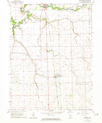
Editions of this 1964 Wellington Map
2 editions found
Other maps of this area

1933 · Hoopeston
USGS Topo · 1:48,000

1936 · Potomac
USGS Topo · 1:62,500

1938 · Milford
USGS Topo · 1:48,000

1938 · Hoopeston
USGS Topo · 1:62,500

1939 · Cissna Park
USGS Topo · 1:62,500

1944 · Milford
USGS Topo · 1:62,500

1949 · Cissna Park
USGS Topo · 1:62,500

1953 · Danville
USGS Topo · 1:250,000

1955 · Danville
USGS Topo · 1:250,000

1956 · Danville
USGS Topo · 1:250,000