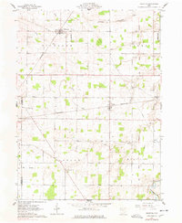
1961 Map of Wharton
USGS Topo · Published 1978About this map
Agricultural lands and rural infrastructure define the landscape of northwestern Ohio in the early 1960s. The village of Wharton serves as a local hub, situated at the junction of the Central New York railroad and Potato Run. To the southeast, the village of Kirby anchors the township lines, where the Pennsylvania rail line cuts across the terrain. This period represents a mature rural economy, evident in the numerous family-named landmarks and local institutions that dot the countryside, such as New Zion Ch and the Townhall.
Find a feature on this map
34 named features on this map. Tap any name to fly to it.
Don’t see what you’re looking for? This feature index may not catch every label — zoom into the map to look around manually.
Map Details
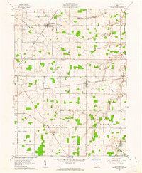
Editions of this 1961 Wharton Map
2 editions found
Other maps of this area

1905 · Arlington
USGS Topo · 1:62,500

1907 · Arlington
USGS Topo · 1:24,000

1907 · Upper Sandusky
USGS Topo · 1:62,500

1915 · Kenton
USGS Topo · 1:62,500

1915 · La Rue
USGS Topo · 1:62,500

1944 · Kenton
USGS Topo · 1:62,500

1950 · Marion
USGS Topo · 1:250,000

1960 · Upper Sandusky
USGS Topo · 1:24,000

1960 · Mt Blanchard
USGS Topo · 1:24,000

1960 · Marseilles
USGS Topo · 1:24,000