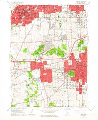
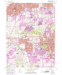
1962 Map of Wheaton
USGS Topo · Published 1964About this map
The Morton Arboretum forms a significant green anchor amidst the expanding suburban landscape of central DuPage County during the early 1960s. This survey captures the rapid growth of Wheaton, Glen Ellyn, and Downers Grove as they transition into major residential hubs. Educational and religious institutions are particularly dense here, from St Procopius College and the National College of Chiropractic to local landmarks like Maryknoll Seminary. The transportation network is in a period of evolution, with the Chicago and North Western and Burlington Quincy railroads bisecting established downtowns, while the newly indicated East-West Tollway signals a new era of automobile-centric development. For genealogists, the map preserves the exact locations of several burial grounds, including Wheaton Cemetery and Allerton Ridge Cemetery, set against the winding course of the East Branch Du Page River.
Find a feature on this map
92 named features on this map. Tap any name to fly to it.
Don’t see what you’re looking for? This feature index may not catch every label — zoom into the map to look around manually.
Map Details
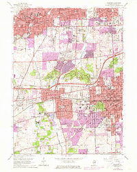
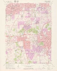
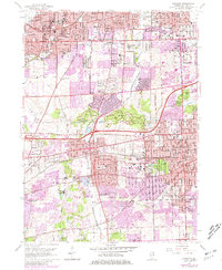
Editions of this 1962 Wheaton Map
5 editions found
Other maps of this area

1890 · Des Plaines
USGS Topo · 1:62,500

1891 · Riverside
USGS Topo · 1:62,500

1892 · Joliet
USGS Topo · 1:62,500

1893 · Riverside
USGS Topo · 1:62,500

1894 · Des Plaines
USGS Topo · 1:62,500

1900 · Des Plaines
USGS Topo · 1:62,500

1900 · Riverside
USGS Topo · 1:62,500

1901 · Des Plaines
USGS Topo · 1:62,500

1901 · Riverside
USGS Topo · 1:62,500

1908 · Wheaton
USGS Topo · 1:62,500