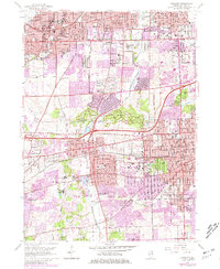
1962 Map of Wheaton
USGS Topo · Published 1981About this map
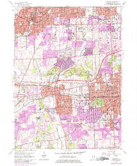
Wheaton and Downers Grove anchor this detailed study of DuPage County’s evolving suburban landscape, showing the rapid expansion of the Chicago metropolitan area during the mid-twentieth century. The map illustrates a dense network of educational and religious institutions, including Wheaton College, Maryknoll Seminary, and St Procopius College. These campuses are set against the managed greenery of the Morton Arboretum and the Hidden Lake Forest Preserve.
Find a feature on this map
85 named features on this map. Tap any name to fly to it.
Don’t see what you’re looking for? This feature index may not catch every label — zoom into the map to look around manually.
Map Details
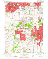
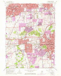
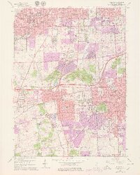
Editions of this 1962 Wheaton Map
5 editions found
Other maps of this area

1890 · Des Plaines
USGS Topo · 1:62,500

1891 · Riverside
USGS Topo · 1:62,500

1892 · Joliet
USGS Topo · 1:62,500

1893 · Riverside
USGS Topo · 1:62,500

1894 · Des Plaines
USGS Topo · 1:62,500

1900 · Des Plaines
USGS Topo · 1:62,500

1900 · Riverside
USGS Topo · 1:62,500

1901 · Des Plaines
USGS Topo · 1:62,500

1901 · Riverside
USGS Topo · 1:62,500

1908 · Wheaton
USGS Topo · 1:62,500