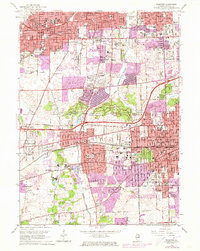
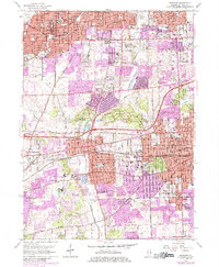
1962 Map of Wheaton
USGS Topo · Published 1973About this map
Wheaton, Glen Ellyn, and Downers Grove show significant suburban expansion in this early 1970s revision, with purple-tinted overlays marking new development since the mid-century. The Morton Arboretum remains a dominant green space at the center of the sheet, situated near the intersection of the East-West Tollway and the North Western railroad lines. The region is dense with religious and educational institutions, including Wheaton College, St Procopius College, and Maryknoll Seminary.
Find a feature on this map
113 named features on this map. Tap any name to fly to it.
Don’t see what you’re looking for? This feature index may not catch every label — zoom into the map to look around manually.
Map Details
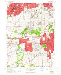
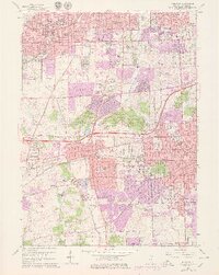
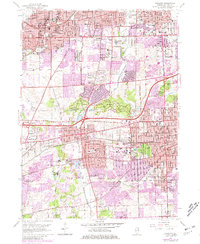
Editions of this 1962 Wheaton Map
5 editions found
Other maps of this area

1890 · Des Plaines
USGS Topo · 1:62,500

1891 · Riverside
USGS Topo · 1:62,500

1892 · Joliet
USGS Topo · 1:62,500

1893 · Riverside
USGS Topo · 1:62,500

1894 · Des Plaines
USGS Topo · 1:62,500

1900 · Des Plaines
USGS Topo · 1:62,500

1900 · Riverside
USGS Topo · 1:62,500

1901 · Des Plaines
USGS Topo · 1:62,500

1901 · Riverside
USGS Topo · 1:62,500

1908 · Wheaton
USGS Topo · 1:62,500