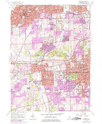
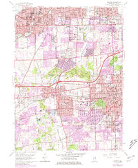
1962 Map of Wheaton
USGS Topo · Published 1984About this map
The Burlington Northern and Chicago and North Western railroads anchor a landscape of rapid mid-century suburban expansion across DuPage County. This 1962 revision, with 1970s updates shown in purple, captures the densifying residential blocks of Wheaton and Downers Grove. Educational and religious institutions are particularly prominent, ranging from the central Wheaton College campus to the sprawling grounds of Maryknoll Seminary and the Loretto Convent.
Find a feature on this map
90 named features on this map. Tap any name to fly to it.
Don’t see what you’re looking for? This feature index may not catch every label — zoom into the map to look around manually.
Map Details
Editions of this 1962 Wheaton Map
5 editions found
Other maps of this area

1890 · Des Plaines
USGS Topo · 1:62,500

1891 · Riverside
USGS Topo · 1:62,500

1892 · Joliet
USGS Topo · 1:62,500

1893 · Riverside
USGS Topo · 1:62,500

1894 · Des Plaines
USGS Topo · 1:62,500

1900 · Des Plaines
USGS Topo · 1:62,500

1900 · Riverside
USGS Topo · 1:62,500

1901 · Des Plaines
USGS Topo · 1:62,500

1901 · Riverside
USGS Topo · 1:62,500

1908 · Wheaton
USGS Topo · 1:62,500