Loading...
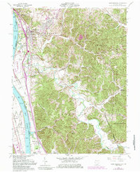
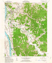
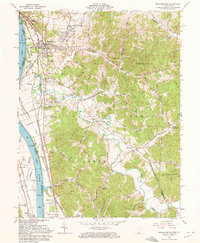
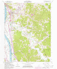
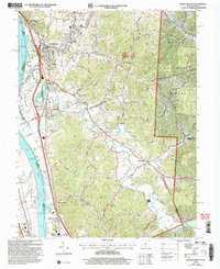
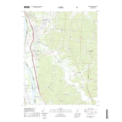
Loading map...1961 Map of Wheelersburg
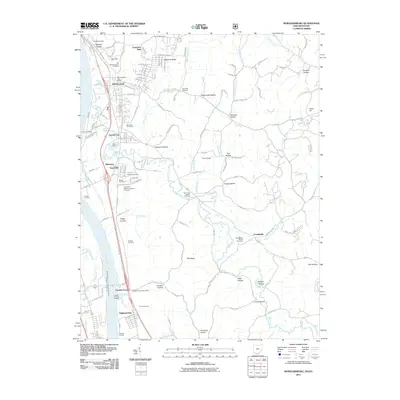
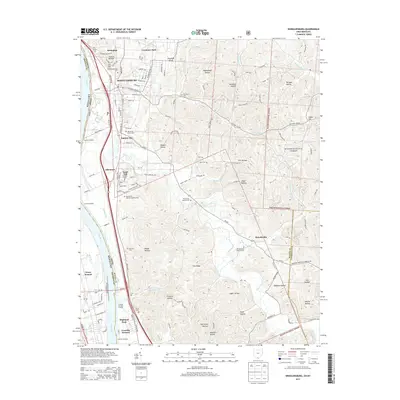
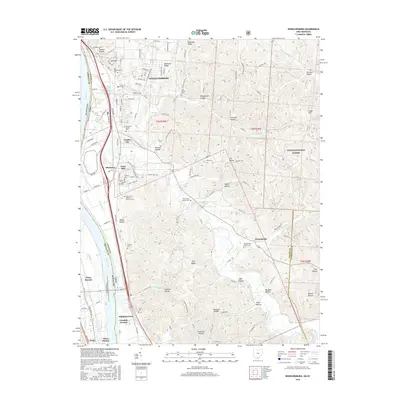
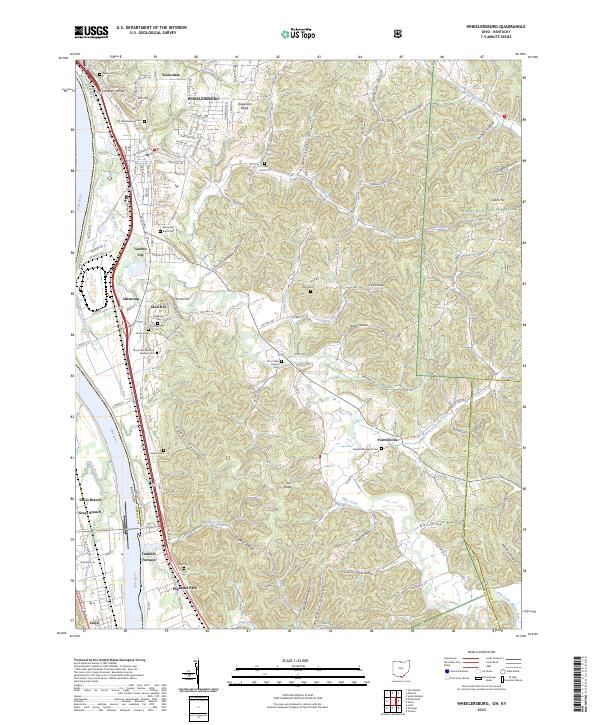
USGS Topo · Published 1985About this map
Wheelersburg serves as the primary hub of activity along the north bank of the Ohio River in this mid-century portrait of Scioto County. Industrial and commercial life follows the river valley, where the Norfolk and Western and Chesapeake and Ohio railroads parallel the water, supporting local enterprises like the Gravel Pit and a Strip Mine. Notable infrastructure includes the Greenup Locks and Dam, while local leisure is represented by a Drive-in Theater near the river’s edge.
Find a feature on this map
41 named features on this map. Tap any name to fly to it.
Don’t see what you’re looking for? This feature index may not catch every label — zoom into the map to look around manually.
Map Details
Date Portrayed1961
Date Published1985
PublisherU.S. Geological Survey
Map TypeTopographic
Scale1:24,000
Physical Dimensions22 x 27 inches
Editions of this 1961 Wheelersburg Map
4 editions found
Historical Maps of Portsmouth Through Time
7 maps found
Featured Locations
Source Details
SourceU.S. Geological Survey
CopyrightPublic Domain