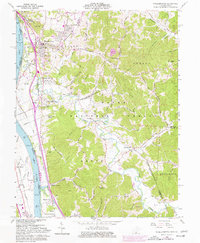
1961 Map of Wheelersburg
USGS Topo · Published 1977About this map
The Ohio River shoreline defines the western edge of this landscape, where the Norfolk and Western and Chesapeake and Ohio railroads parallel the water. The community of Wheelersburg serves as a primary hub, showing significant residential expansion by the mid-1970s, including the Hillcrest Childrens Home and a Drive-in Theater. Further inland, the terrain transitions into the heavily wooded valleys of the Wayne National Forest, marked by numerous family-named hollows such as Germany Hollow and Possum Hollow.
Find a feature on this map
96 named features on this map. Tap any name to fly to it.
Don’t see what you’re looking for? This feature index may not catch every label — zoom into the map to look around manually.
Map Details
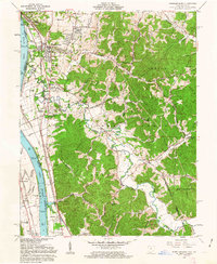
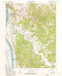
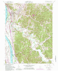
Editions of this 1961 Wheelersburg Map
4 editions found
Other maps of this area

1898 · Ironton
USGS Topo · 1:62,500

1900 · Ironton
USGS Topo · 1:62,500

1911 · Sciotoville
USGS Topo · 1:62,500

1912 · Oak Hill
USGS Topo · 1:62,500

1913 · Sciotoville
USGS Topo · 1:62,500

1926 · Greenup
USGS Topo · 1:48,000

1930 · Greenup
USGS Topo · 1:62,500
1953 · Load
USGS Topo · 1:24,000

1953 · Greenup
USGS Topo · 1:24,000
1953 · Portsmouth
USGS Topo · 1:24,000