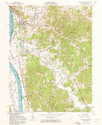
1961 Map of Wheelersburg
USGS Topo · Published 1972About this map
Wheelersburg and its surrounding communities along the Ohio River are shown here during a period of mid-century industrial and residential expansion. The landscape is defined by the sharp transition from the river bottomlands to the wooded ridges of the Wayne National Forest. The local economy of the early 1960s is evidenced by the Norfolk and Western and Chesapeake and Ohio railroads flanking the river, while a gravel pit and the Greenup Locks and Dam highlight heavy industry and infrastructure.
Find a feature on this map
76 named features on this map. Tap any name to fly to it.
Don’t see what you’re looking for? This feature index may not catch every label — zoom into the map to look around manually.
Map Details
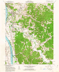
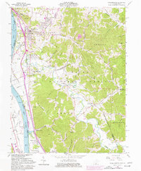
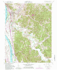
Editions of this 1961 Wheelersburg Map
4 editions found
Other maps of this area

1898 · Ironton
USGS Topo · 1:62,500

1900 · Ironton
USGS Topo · 1:62,500

1911 · Sciotoville
USGS Topo · 1:62,500

1912 · Oak Hill
USGS Topo · 1:62,500

1913 · Sciotoville
USGS Topo · 1:62,500

1926 · Greenup
USGS Topo · 1:48,000

1930 · Greenup
USGS Topo · 1:62,500
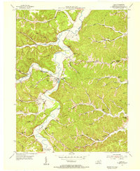
1953 · Load
USGS Topo · 1:24,000

1953 · Greenup
USGS Topo · 1:24,000
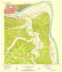
1953 · Portsmouth
USGS Topo · 1:24,000