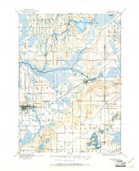
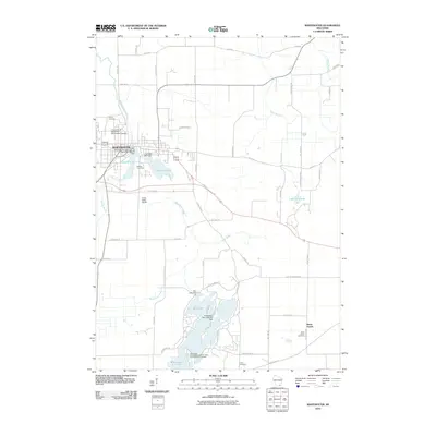
1960 Map of Whitewater
USGS Topo · Published 1962About this map
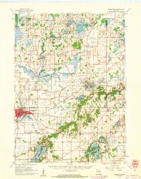
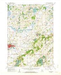
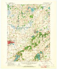
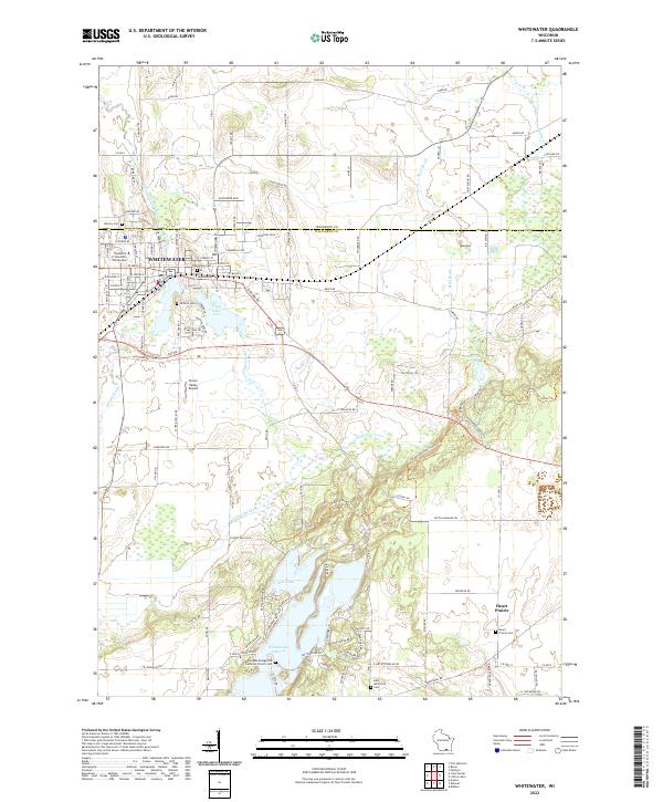
Whitewater serves as the focal point of this 1960s study, showcasing the city before its modern expansion and the layout of the Wisconsin State College campus. The landscape is defined by the complex glacial topography of the Kettle Moraine State Forest, where numerous lakes and depressions are clustered. The Milwaukee St Paul and Pacific railroad cuts through the terrain, connecting the larger settlements to smaller outposts like Palmyra and La Grange.
Find a feature on this map
67 named features on this map. Tap any name to fly to it.
Don’t see what you’re looking for? This feature index may not catch every label — zoom into the map to look around manually.
Map Details
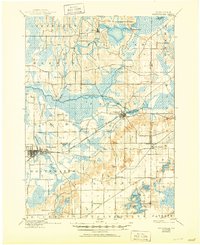
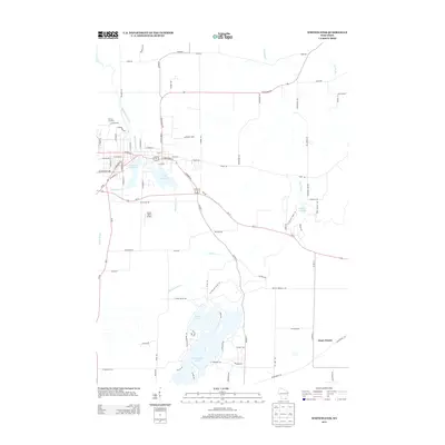
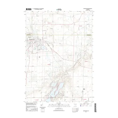
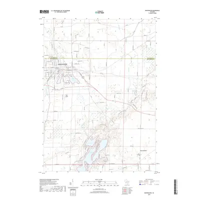
Editions of this 1960 Whitewater Map
4 editions found
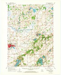
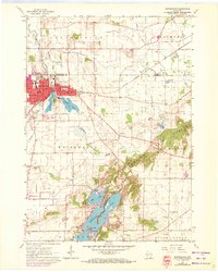
Historical Maps of Whitewater Through Time
11 maps found

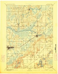
1892 Whitewater
Walworth County, WI
1893 Whitewater
Walworth County, WI
1903 Whitewater
Walworth County, WI
1924 Whitewater
Walworth County, WI
1960 Whitewater
Walworth County, WI
1960 Whitewater
Walworth County, WI
2010 Whitewater
Walworth County, WI
2013 Whitewater
Walworth County, WI
2016 Whitewater
Walworth County, WI
2018 Whitewater
Walworth County, WI
2022 Whitewater
Walworth County, WI