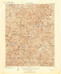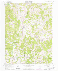
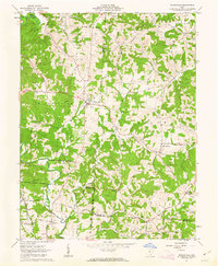
1961 Map of Wilkesville
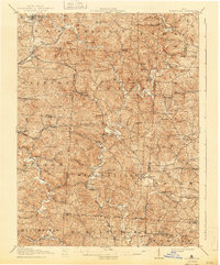
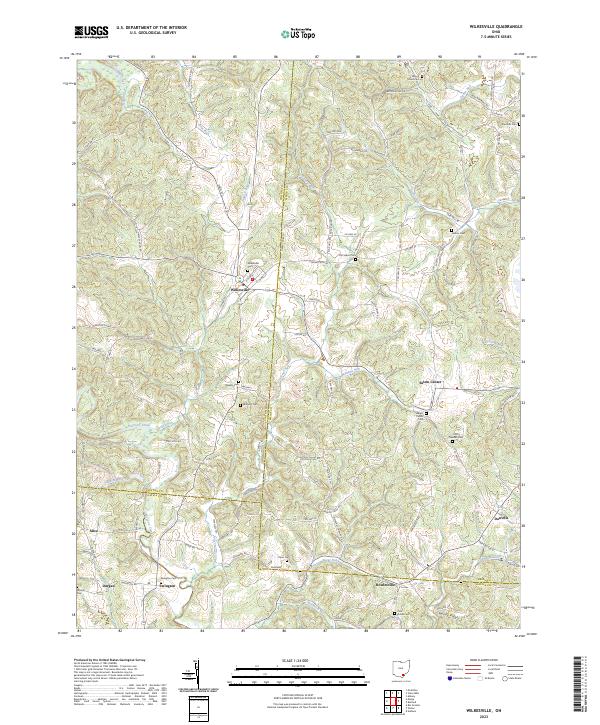
USGS Topo · Published 1977About this map
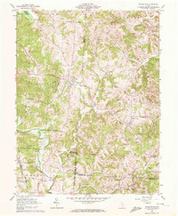
Wilkesville sits at the heart of this landscape, where the irregular boundaries of the Ohio Company Purchase met early township lines. The terrain is defined by the winding course of Raccoon Creek and the southern reaches of the Wayne National Forest. By the early 1960s, the rural economy was characterized by scattered gas wells and small settlements like Salem Center and Ewington. The map preserves a dense record of family history through numerous burial grounds, including the Mt Olive Cem, Standish Cem, and Nelson Cem. Transportation is anchored by the Chesapeake and Ohio railroad corridor near Alice, while the 1975 revisions highlight the transition of local roads and land use as the region's agricultural and resource extraction patterns evolved.
Find a feature on this map
54 named features on this map. Tap any name to fly to it.
Don’t see what you’re looking for? This feature index may not catch every label — zoom into the map to look around manually.
Map Details
Editions of this 1961 Wilkesville Map
4 editions found
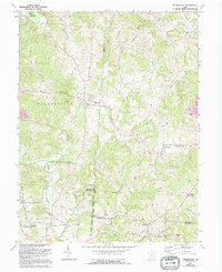
Historical Maps of Wilkesville Through Time
8 maps found