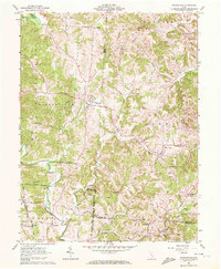
1961 Map of Wilkesville
USGS Topo · Published 1972About this map
Wilkesville serves as the primary hub in this early 1960s survey, marking a landscape where the Wayne National Forest meets established agricultural settlements. The map illustrates the complex intersection of Vinton, Meigs, and Gallia counties, with the winding course of Raccoon Creek and its many tributaries, such as Strongs Run and Flatlick Run, carving through the terrain. A notable cultural layer is preserved through the numerous rural cemeteries like Old Salem Cem and Nalton Cem, which reflect the generations of family history in townships like Salem and Huntington.
Find a feature on this map
38 named features on this map. Tap any name to fly to it.
Don’t see what you’re looking for? This feature index may not catch every label — zoom into the map to look around manually.
Map Details
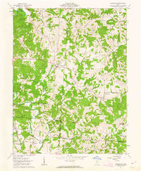
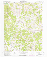
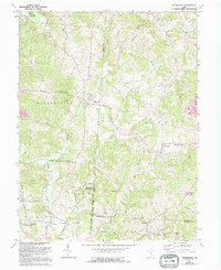
Editions of this 1961 Wilkesville Map
4 editions found
Other maps of this area

1905 · Wilkesville
USGS Topo · 1:62,500

1906 · Bidwell
USGS Topo · 1:62,500

1907 · Pomeroy
USGS Topo · 1:62,500

1908 · Bidwell
USGS Topo · 1:62,500

1908 · Point Pleasant
USGS Topo · 1:62,500

1908 · Wilkesville
USGS Topo · 1:62,500

1926 · Point Pleasant
USGS Topo · 1:62,500

1929 · Point Pleasant
USGS Topo · 1:62,500

1947 · Columbus
USGS Topo · 1:250,000

1957 · Huntington
USGS Topo · 1:250,000