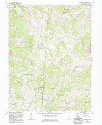
1961 Map of Wilkesville
USGS Topo · Published 1995About this map
The winding waters of Raccoon Creek and its many tributaries, including Pierce Run and Flatlick Run, carve through the rolling landscape of this southeastern Ohio region. Small crossroads settlements like Wilkesville and Salem Center serve as the primary anchors of the community, surrounded by a network of family-named landmarks and rural institutions. The map documents a territory defined by historical land divisions, specifically the Ohio Company Purchase Congress Lands East of the Scioto River, with its boundaries clearly marked against the terrain.
Find a feature on this map
48 named features on this map. Tap any name to fly to it.
Don’t see what you’re looking for? This feature index may not catch every label — zoom into the map to look around manually.
Map Details
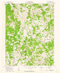
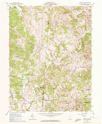
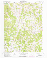
Editions of this 1961 Wilkesville Map
4 editions found
Other maps of this area

1905 · Wilkesville
USGS Topo · 1:62,500

1906 · Bidwell
USGS Topo · 1:62,500

1907 · Pomeroy
USGS Topo · 1:62,500

1908 · Bidwell
USGS Topo · 1:62,500

1908 · Point Pleasant
USGS Topo · 1:62,500

1908 · Wilkesville
USGS Topo · 1:62,500

1926 · Point Pleasant
USGS Topo · 1:62,500

1929 · Point Pleasant
USGS Topo · 1:62,500

1947 · Columbus
USGS Topo · 1:250,000

1957 · Huntington
USGS Topo · 1:250,000