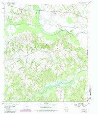
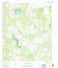
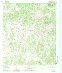
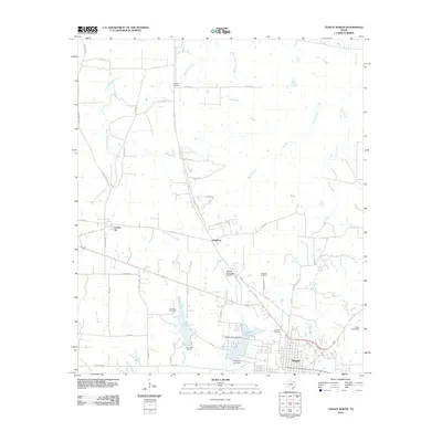
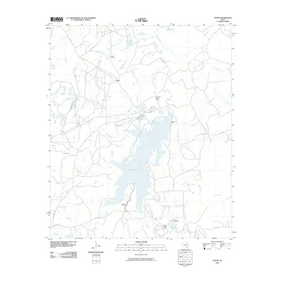
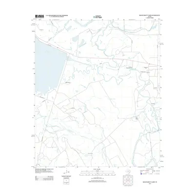
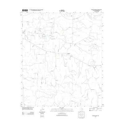
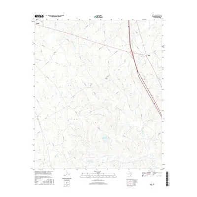
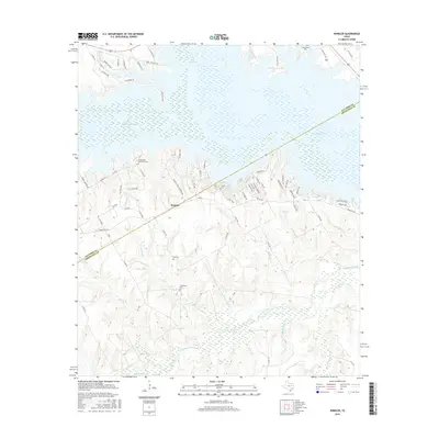
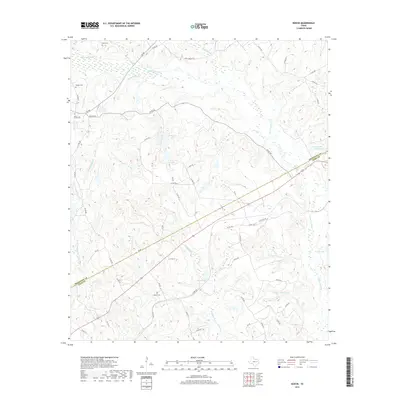
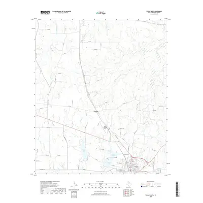
1960 Map of Winkler
USGS Topo · Published 1983About this map
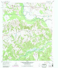
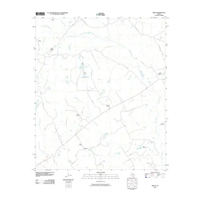
The Navarro Co Freestone Co line divides this rural landscape, where the confluence of several major waterways dictated the early development of the region. Broad bottomlands surrounding Richland Creek and Chambers Creek dominate the northern portion of the survey, while Tehuacana Creek and its tributaries, such as Sandy Creek and Greenbriar Creek, carve through the southern uplands.
Find a feature on this map
29 named features on this map. Tap any name to fly to it.
Don’t see what you’re looking for? This feature index may not catch every label — zoom into the map to look around manually.
Map Details
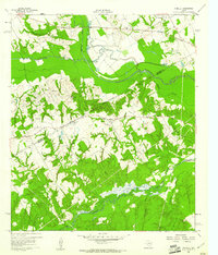
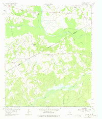
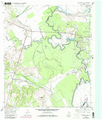
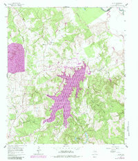
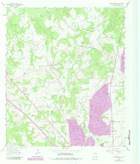
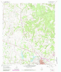
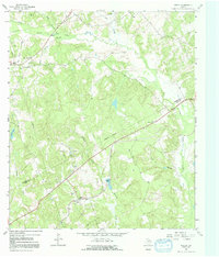
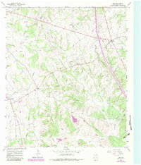
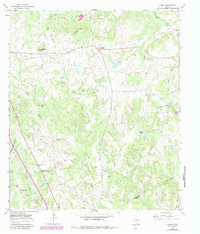
Editions of this 1960 Winkler Map
4 editions found
Historical Maps of Winkler Through Time
66 maps found
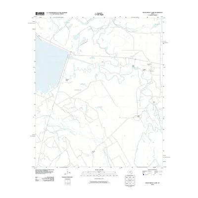
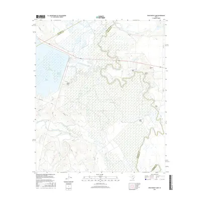
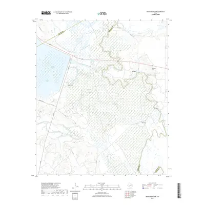
1960 Roustabout Camp
Freestone County, TX
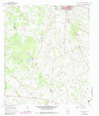
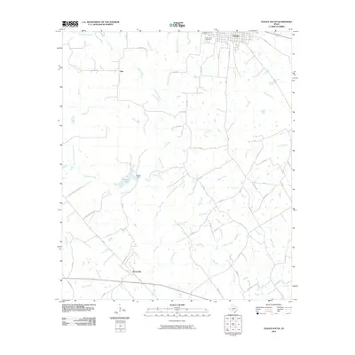
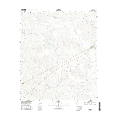
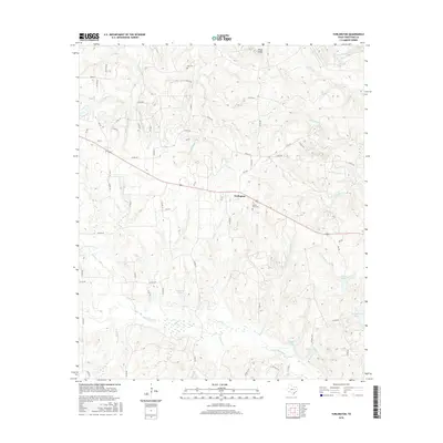
1960 Winkler
Freestone County, TX
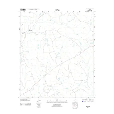
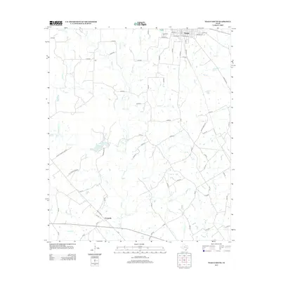
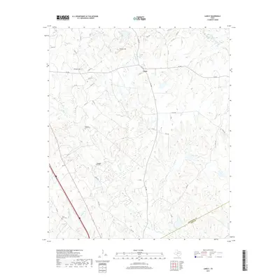
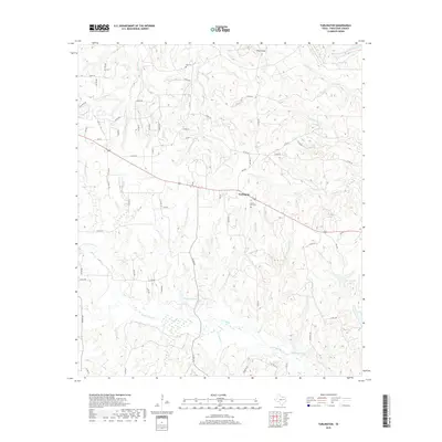
1961 Young
Freestone County, TX
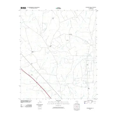
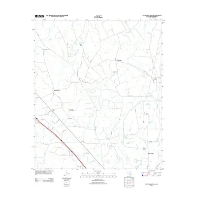
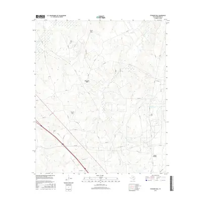
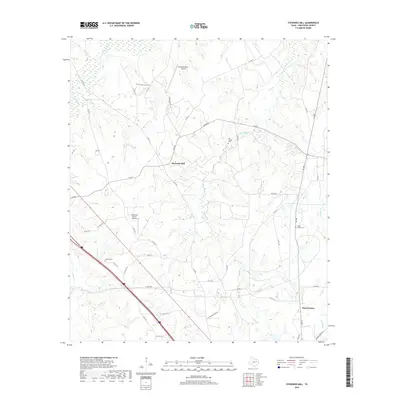
1963 Stewards Mill
Freestone County, TX
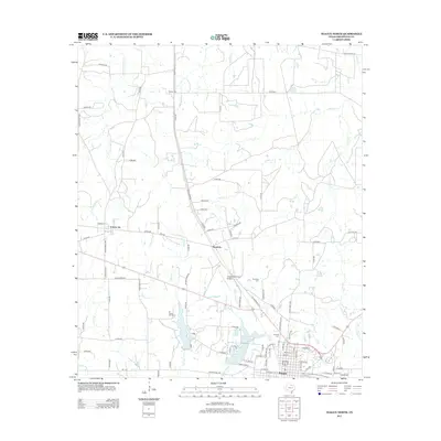
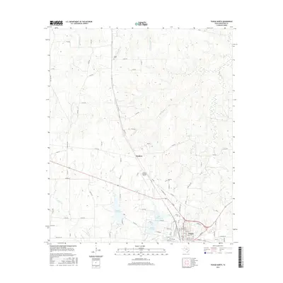
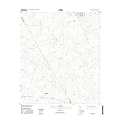
1963 Teague North
Freestone County, TX
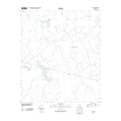
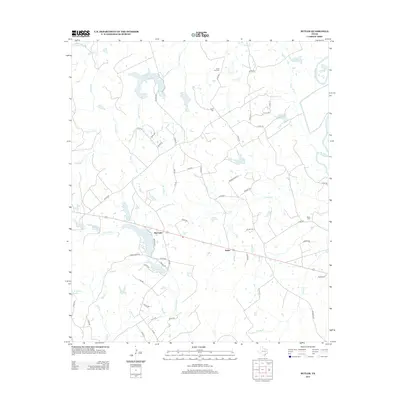
1964 Butler
Freestone County, TX
1964 Keechi
Freestone County, TX
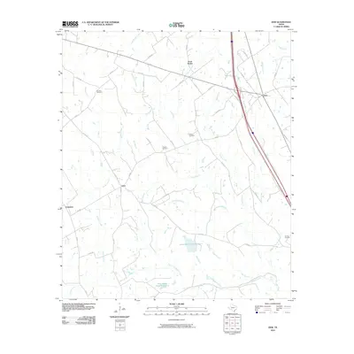
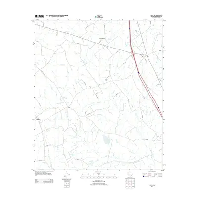
1965 Dew
Freestone County, TX
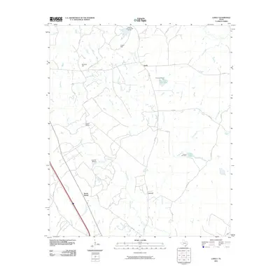
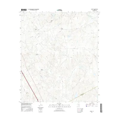
1965 Lanely
Freestone County, TX
1965 Turlington
Freestone County, TX
1966 Teague South
Freestone County, TX
2010 Butler
Freestone County, TX
2010 Dew
Freestone County, TX
2010 Keechi
Freestone County, TX
2010 Lanely
Freestone County, TX
2010 Roustabout Camp
Freestone County, TX
2010 Stewards Mill
Freestone County, TX
2010 Teague North
Freestone County, TX
2010 Teague South
Freestone County, TX
2010 Turlington
Freestone County, TX
2010 Winkler
Freestone County, TX
2010 Young
Freestone County, TX
2013 Butler
Freestone County, TX
2013 Dew
Freestone County, TX
2013 Keechi
Freestone County, TX

2013 Lanely
Freestone County, TX
2013 Roustabout Camp
Freestone County, TX
2013 Stewards Mill
Freestone County, TX
2013 Teague North
Freestone County, TX
2013 Teague South
Freestone County, TX
2013 Turlington
Freestone County, TX
2013 Winkler
Freestone County, TX
2013 Young
Freestone County, TX
2016 Butler
Freestone County, TX
2016 Dew
Freestone County, TX
2016 Keechi
Freestone County, TX
2016 Lanely
Freestone County, TX
2016 Roustabout Camp
Freestone County, TX
2016 Stewards Mill
Freestone County, TX
2016 Teague North
Freestone County, TX
2016 Teague South
Freestone County, TX
2016 Turlington
Freestone County, TX
2016 Winkler
Freestone County, TX
2016 Young
Freestone County, TX
2019 Butler
Freestone County, TX
2019 Dew
Freestone County, TX
2019 Keechi
Freestone County, TX
2019 Lanely
Freestone County, TX
2019 Roustabout Camp
Freestone County, TX
2019 Stewards Mill
Freestone County, TX
2019 Teague North
Freestone County, TX

2019 Teague South
Freestone County, TX
2019 Turlington
Freestone County, TX
2019 Winkler
Freestone County, TX
2019 Young
Freestone County, TX
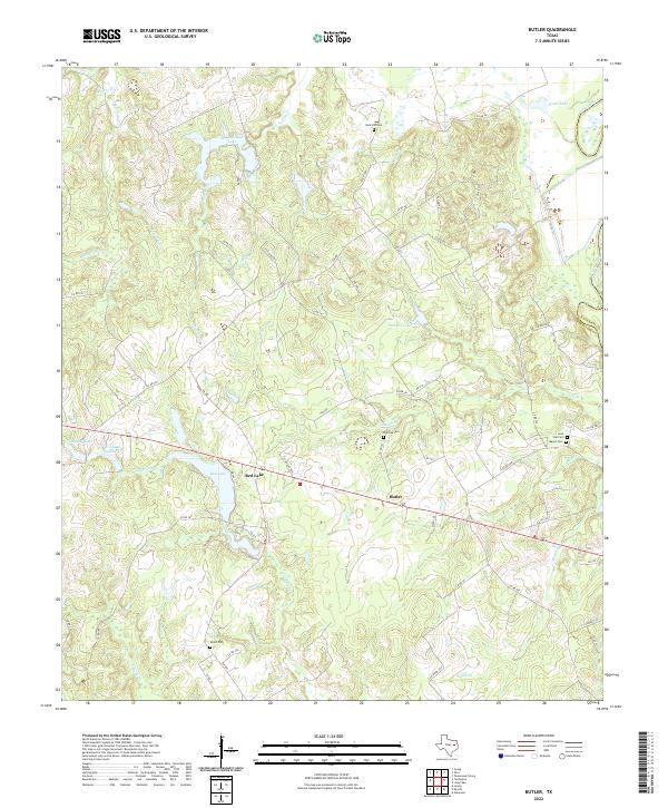
2022 Butler
Freestone County, TX
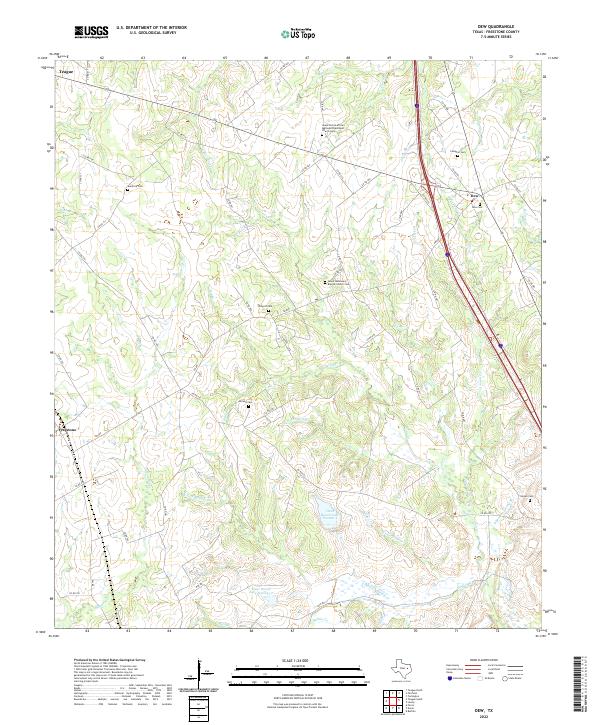
2022 Dew
Freestone County, TX
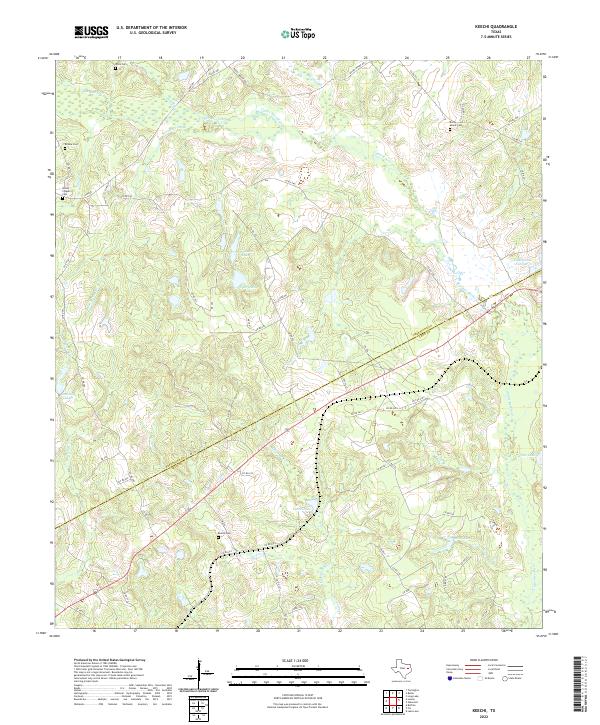
2022 Keechi
Freestone County, TX
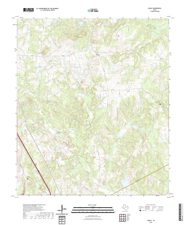
2022 Lanely
Freestone County, TX
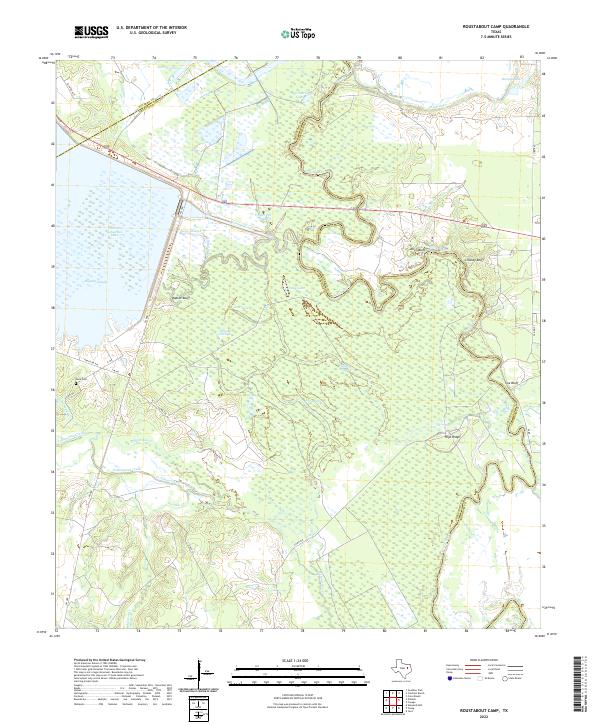
2022 Roustabout Camp
Freestone County, TX
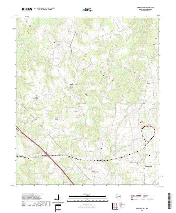
2022 Stewards Mill
Freestone County, TX
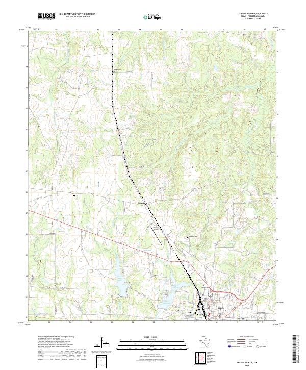
2022 Teague North
Freestone County, TX
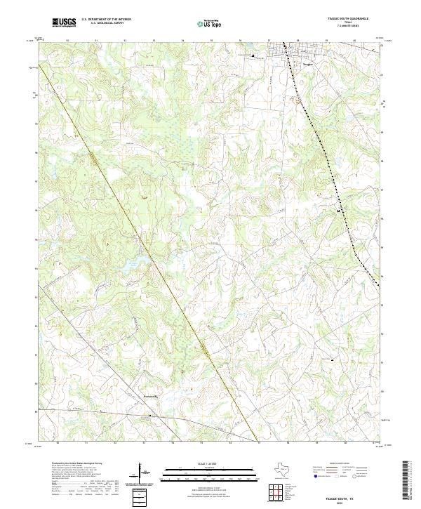
2022 Teague South
Freestone County, TX
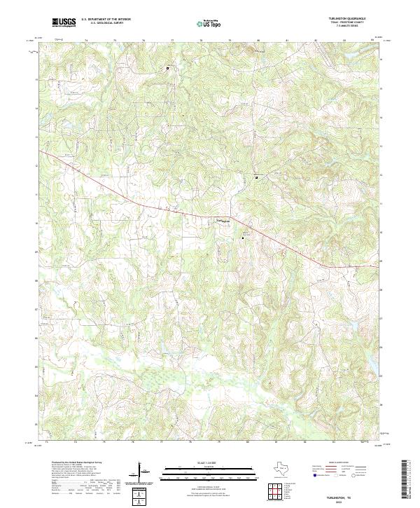
2022 Turlington
Freestone County, TX
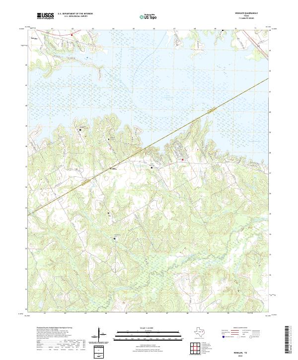
2022 Winkler
Freestone County, TX
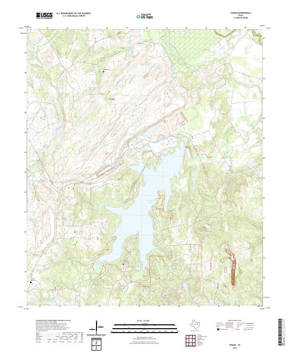
2022 Young
Freestone County, TX