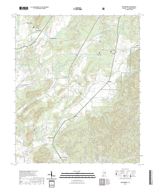
2024 Map of Winterboro
USGS Topo · Published 2024About this map
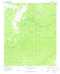
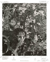
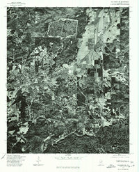
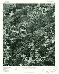
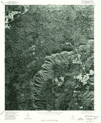
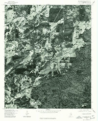
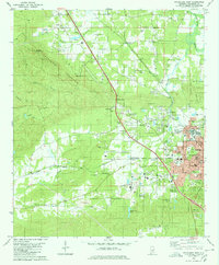
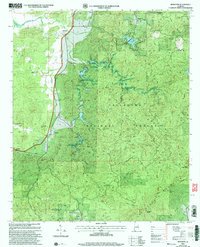
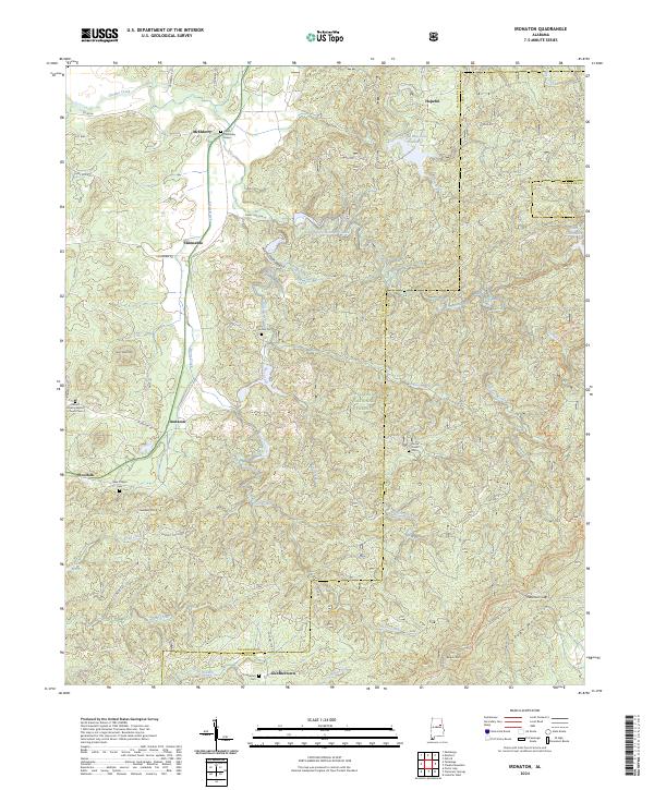
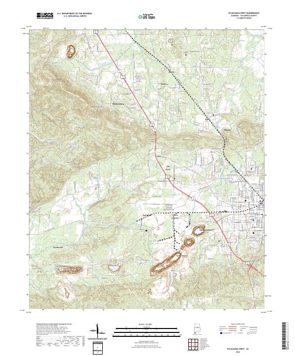
Sylacauga and the surrounding Talladega County countryside are depicted in this recent survey, showing a landscape defined by a mix of agricultural history and preserved forest land. The northern portion of the quadrangle is dotted with small, historic communities such as Plantersville, Nottingham, and Winterboro, many connected by the CSX rail line. The presence of several community anchors like Africa Missionary Baptist Church Cem and Mount Ida Missionary Baptist Church Cem reflects the deep-rooted local heritage of this region.
Find a feature on this map
110 named features on this map. Tap any name to fly to it.
Don’t see what you’re looking for? This feature index may not catch every label — zoom into the map to look around manually.
Map Details
Editions of this 2024 Winterboro Map
This is the sole edition of this map. No revisions or reprints were ever made.
Historical Maps of Nottingham Through Time
31 maps found
1915 Gantts Quarry
Talladega County, AL

1917 Gantts Quarry
Talladega County, AL
1947 Eastaboga
Talladega County, AL
1951 Laniers
Talladega County, AL
1969 Ironaton
Talladega County, AL
1975 Gantts Quarry NW
Talladega County, AL

1975 Goodwater NW
Talladega County, AL
1975 Ironaton
Talladega County, AL
1975 Laniers
Talladega County, AL
1975 Talladega NE
Talladega County, AL
1975 Talladega NW
Talladega County, AL
1975 Talladega SE
Talladega County, AL
1975 Talladega SW
Talladega County, AL
1980 Sylacauga West
Talladega County, AL
1983 Ironaton
Talladega County, AL
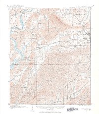
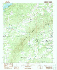
1984 Winterboro
Talladega County, AL
1987 Porter Gap
Talladega County, AL
1987 Sleeping Giants
Talladega County, AL
1987 Sylacauga East
Talladega County, AL
2001 Ironaton
Talladega County, AL
2001 Porter Gap
Talladega County, AL
2001 Sylacauga East
Talladega County, AL
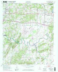
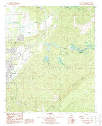
2001 Winterboro
Talladega County, AL
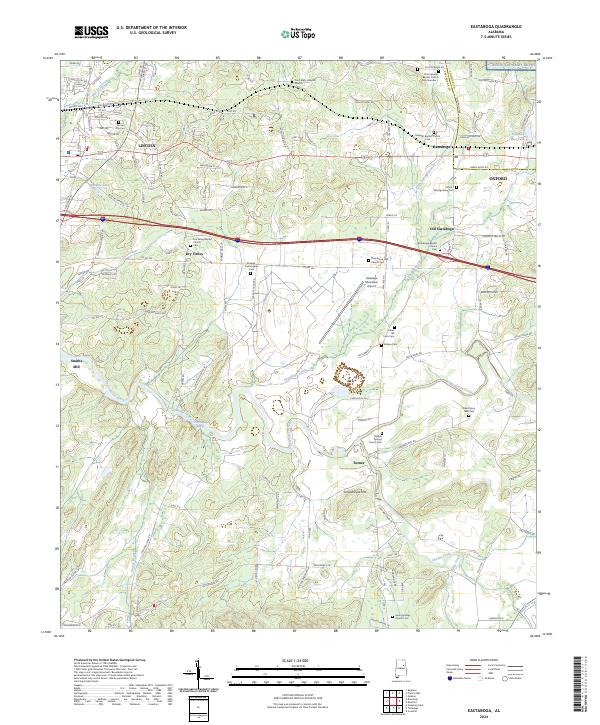
2024 Eastaboga
Talladega County, AL
2024 Ironaton
Talladega County, AL
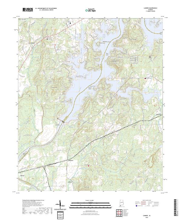
2024 Laniers
Talladega County, AL
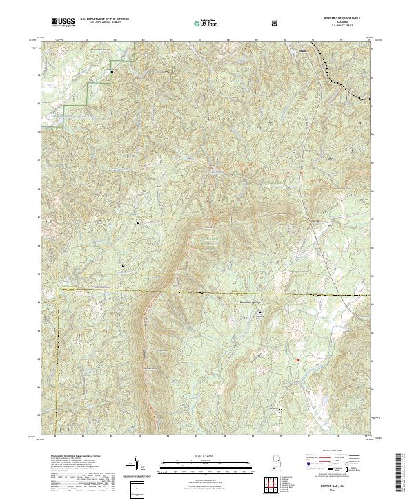
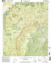
2024 Porter Gap
Talladega County, AL
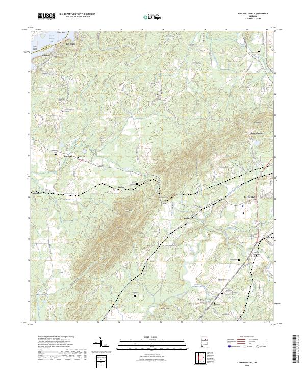
2024 Sleeping Giant
Talladega County, AL
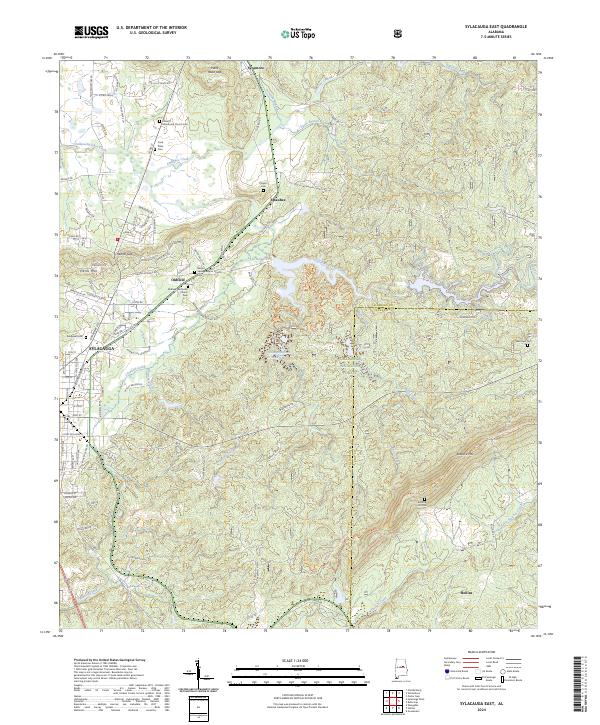
2024 Sylacauga East
Talladega County, AL
2024 Sylacauga West
Talladega County, AL
2024 Winterboro
Talladega County, AL