2020s Maps of Petersburg Borough, Alaska
Explore 161 historic maps of Petersburg Borough from the 2020s. These maps offer a rare glimpse into what life looked like during the 2020s — showing old roads, neighborhoods, homes, and landmarks that have changed or disappeared over time.
Whether you're researching your family's past, planning a metal detecting trip, or studying how Petersburg Borough's landscape evolved across the 2020s, these high-resolution maps are a powerful tool for exploring the history of this region.
- Focus on a specific era: All maps on this page are from the 2020s, giving you a focused view of this time period.
- See what’s changed: Compare century-old streets, trails, and buildings to today's modern landscape using overlays and satellite layers.
- Research with precision: Use these maps for genealogy, historical research, land use analysis, or educational projects.
- View, download, or print: Maps are fully viewable online in high resolution, and can be downloaded or printed for your own records.
Start exploring Petersburg Borough's history through authentic maps from the 2020s. This is your window into the past.
Petersburg Borough, AK maps
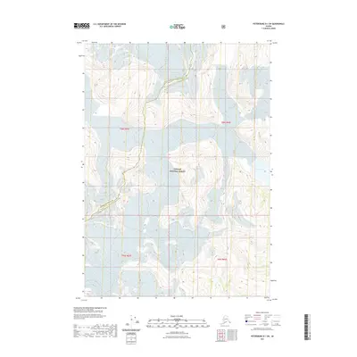
(161)- 2020 Map of Petersburg A-6 NE, 2020 Print
 2020 Petersburg A-6 NE2020 Print · USGSCovers Petersburg Borough, including Unorganized Borough, Prince of Wales-Hyder, and other nearby areas
 - 2020 Map of Port Alexander D-2 NW, 2020 Print
 2020 Port Alexander D-2 NW2020 Print · USGSCovers Petersburg Borough, including Unorganized Borough, Sitka, and other nearby areas
 - 2021 Map of Petersburg D-1 SW, 2021 Print
 2021 Petersburg D-1 SW2021 Print · USGSCovers Petersburg Borough, including Wrangell, United States, and other nearby areas
 - 2021 Map of Petersburg C-1 NW, 2021 Print
 2021 Petersburg C-1 NW2021 Print · USGSCovers Petersburg Borough, including Wrangell, United States, and other nearby areas
 - 2021 Map of Sumdum A-2 NE, 2021 Print
 2021 Sumdum A-2 NE2021 Print · USGSCovers Petersburg Borough, including Area D (Iskut/Big Raven), Regional District of Kitimat-Stikine, and other nearby areas
 - 2021 Map of Sumdum A-2 SW, 2021 Print
 2021 Sumdum A-2 SW2021 Print · USGSCovers Petersburg Borough, including United States, Alaska, and other nearby areas
 - 2021 Map of Petersburg D-1 NE, 2021 Print
 2021 Petersburg D-1 NE2021 Print · USGSCovers Petersburg Borough, including Area D (Iskut/Big Raven), Regional District of Kitimat-Stikine, and other nearby areas
 - 2021 Map of Petersburg D-2 SW, 2021 Print
 2021 Petersburg D-2 SW2021 Print · USGSCovers Petersburg Borough, including United States, Alaska, and other nearby areas
 - 2021 Map of Petersburg D-2 NW, 2021 Print
 2021 Petersburg D-2 NW2021 Print · USGSCovers Petersburg Borough, including United States, Alaska, and other nearby areas
 - 2021 Map of Sumdum B-2 OE E SW, 2021 Print
 2021 Sumdum B-2 OE E SW2021 Print · USGSCovers Petersburg Borough, including Area D (Iskut/Big Raven), Regional District of Kitimat-Stikine, and other nearby areas
 - 2021 Map of Sumdum A-3 NW, 2021 Print
 2021 Sumdum A-3 NW2021 Print · USGSCovers Petersburg Borough, including United States, Alaska, and other nearby areas
 - 2021 Map of Petersburg D-2 NE, 2021 Print
 2021 Petersburg D-2 NE2021 Print · USGSCovers Petersburg Borough, including United States, Alaska, and other nearby areas
 - 2021 Map of Petersburg D-3 NE, 2021 Print
 2021 Petersburg D-3 NE2021 Print · USGSCovers Petersburg Borough, including United States, Alaska, and other nearby areas
 - 2021 Map of Sumdum B-3 NE, 2021 Print
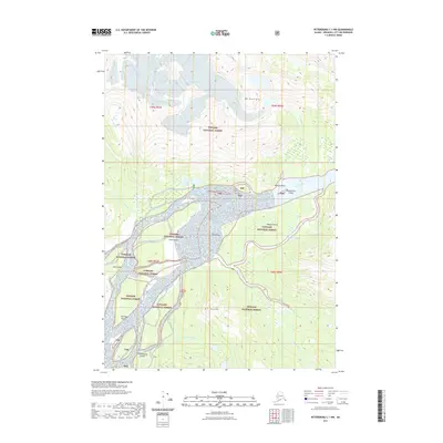
 2021 Sumdum B-3 NE2021 Print · USGSSoutheast Alaska’s glacial wilderness is captured here in the early twenty-first century, showcasing the remote terrain of the Coast Mountains. Researchers and outdoorsmen can trace the expansive reach of Dawes Glacier as it flows through the protected lands of the Tongass National Forest.
 - 2021 Map of Sumdum B-3 SE, 2021 Print
 2021 Sumdum B-3 SE2021 Print · USGSCovers Petersburg Borough, including Unorganized Borough, United States, and other nearby areas
 - 2021 Map of Petersburg C-2 NE, 2021 Print
 2021 Petersburg C-2 NE2021 Print · USGSCovers Petersburg Borough, including Wrangell, United States, and other nearby areas
 - 2021 Map of Sumdum B-3 SW, 2021 Print
 2021 Sumdum B-3 SW2021 Print · USGSCovers Petersburg Borough, including Unorganized Borough, United States, and other nearby areas
 - 2021 Map of Sumdum A-3 NE, 2021 Print
 2021 Sumdum A-3 NE2021 Print · USGSCovers Petersburg Borough, including United States, Alaska, and other nearby areas
 - 2021 Map of Sumdum B-2 SW, 2021 Print
 2021 Sumdum B-2 SW2021 Print · USGSCovers Petersburg Borough, including Unorganized Borough, United States, and other nearby areas
 - 2021 Map of Sumdum A-2 NW, 2021 Print
 2021 Sumdum A-2 NW2021 Print · USGSCovers Petersburg Borough, including United States, Alaska, and other nearby areas
 - 2021 Map of Petersburg C-3 SW, 2021 Print
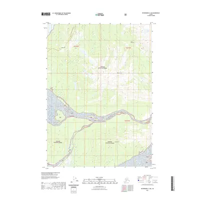
 2021 Petersburg C-3 SW2021 Print · USGSAlaskan coastal wilderness and forest management define this recent look at the Petersburg Borough. Researchers can trace the shoreline navigation markers from Point Lockwood to Point Alexander and follow Woodpecker Road into the timberlands.
 - 2021 Map of Sumdum A-5 SW, 2021 Print
 2021 Sumdum A-5 SW2021 Print · USGSSoutheast Alaska's coastal wilderness comes into focus in this contemporary survey of the Alexander Archipelago. Map collectors and researchers can trace the shoreline of Kupreanof Island, the heights of the Bohemian Range, and the waters surrounding Harbor Island.
 - 2021 Map of Sumdum A-6 NW, 2021 Print
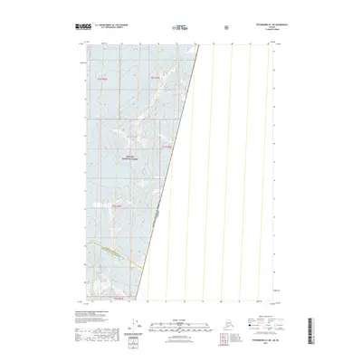
 2021 Sumdum A-6 NW2021 Print · USGSThe waters of Frederick Sound and the isolated Turnabout Island define this remote Alaskan reach during the early twenty-first century. Researchers can trace the boundaries of the Tongass National Forest and the regional census areas.
 - 2021 Map of Sumdum A-6 SE, 2021 Print
 2021 Sumdum A-6 SE2021 Print · USGSThe Prince of Wales-Hyder Census Area coastline is captured in the early twenty-first century, showing the intersection of maritime geography and Tongass National Forest. Researchers can trace coastal landmarks like Schooner Island and the drainage of Gunn Creek.
 - 2021 Map of Sumdum B-4 SE, 2021 Print
 2021 Sumdum B-4 SE2021 Print · USGSCovers Petersburg Borough, including Unorganized Borough, United States, and other nearby areas
Showing maps 1-25 of 161
Top cities of Petersburg Borough
- Petersburg historical maps
- Kake historical maps
- Port Alexander historical maps
- Kupreanof historical maps
Frequently asked questions
- What are the different types of historical maps available for Petersburg Borough?
- What is the oldest map of Petersburg Borough?
- Where can I purchase historical maps of Petersburg Borough for my home or office?
- Where can I download high-res historical maps of Petersburg Borough?
- Are there historical topographic maps available for Petersburg Borough?
- Is there historical aerial imagery available for Petersburg Borough?
- Where are historical maps of Petersburg Borough sourced from?