2010s Maps of Maricopa County, Arizona
Explore 543 historic maps of Maricopa County from the 2010s. These maps offer a rare glimpse into what life looked like during the 2010s — showing old roads, neighborhoods, homes, and landmarks that have changed or disappeared over time.
Whether you're researching your family's past, planning a metal detecting trip, or studying how Maricopa County's landscape evolved across the 2010s, these high-resolution maps are a powerful tool for exploring the history of this region.
- Focus on a specific era: All maps on this page are from the 2010s, giving you a focused view of this time period.
- See what’s changed: Compare century-old streets, trails, and buildings to today's modern landscape using overlays and satellite layers.
- Research with precision: Use these maps for genealogy, historical research, land use analysis, or educational projects.
- View, download, or print: Maps are fully viewable online in high resolution, and can be downloaded or printed for your own records.
Start exploring Maricopa County's history through authentic maps from the 2010s. This is your window into the past.
Maricopa County, AZ maps
(543)- 2011 Map of New River SE, 2011 Print
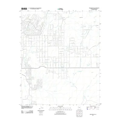 2011 New River SE2011 Print · USGSMaricopa County is captured here in the early twenty-first century as suburban growth reaches into the desert foothills. Researchers can trace the intersection of modern developments with older landmarks like Bentley Mine Rd and the preserved area of Cave Creek Park.
 - 2011 Map of Avondale SW, 2011 Print
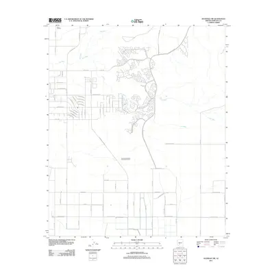 2011 Avondale SW2011 Print · USGSMaricopa County during the early twenty-first century reveals a desert landscape in transition between its ranching past and suburban future. Researchers can locate Liberty Cemetery near the Gila River and trace the paths of Lum Wash and Corgett Wash through the valley.
 - 2011 Map of Mobile NW, 2011 Print
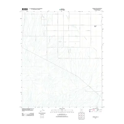 2011 Mobile NW2011 Print · USGSRainbow Valley appears at a moment of significant road development and desert management in the early twenty-first century. Researchers can trace the path of Waterman Wash and locate essential water points like West Tank and Youngker Tank along the evolving grid.
 - 2011 Map of Margies Peak, 2011 Print
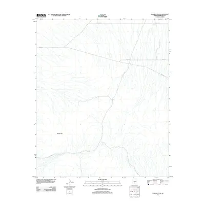 2011 Margies Peak2011 Print · USGSThe desert landscape south of Buckeye appears in its early twenty-first-century state, dominated by drainage networks and isolated peaks. Researchers can trace land use through desert water features like Hazen Tank and the network of tracks including W Woods Rd.
 - 2011 Map of Biscuit Flat, 2011 Print
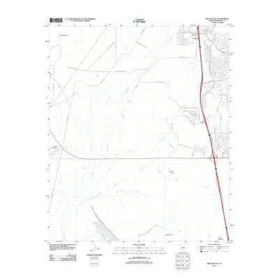 2011 Biscuit Flat2011 Print · USGSMaricopa County's northern frontier shows its modern face in the early 21st century as the desert gives way to residential growth. Trace the development of Anthem and locate infrastructure like the Central Arizona Project CSR and Pleasant Valley Airport.
 - 2011 Map of El Mirage, 2011 Print
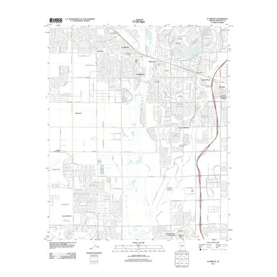 2011 El Mirage2011 Print · USGSThe West Valley suburbs near Phoenix were rapidly evolving into a network of retirement communities and residential hubs by 2011. You can trace the growth of Sun City and El Mirage alongside the Agua Fria River and landmarks like LaLoma Ranch.
 - 2011 Map of Hedgpeth Hills, 2011 Print
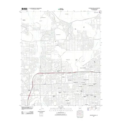 2011 Hedgpeth Hills2011 Print · USGSNorthern Phoenix at the start of the decade shows a landscape where master-planned suburban growth meets desert peaks. Researchers can trace the development of Arrowhead Ranch and Midwestern University, or locate local landmarks like McGills Ultralight Field.
 - 2011 Map of Wickenburg, 2011 Print
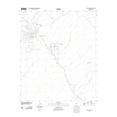 2011 Wickenburg2011 Print · USGSWickenburg and the Hassayampa River valley are captured in this early 21st-century survey of central Arizona. Local historians can trace the development of settlements like Allah and Mockingbird Hill or locate landmarks such as the Rio Vista Hills Airport.
 - 2011 Map of Valencia, 2011 Print
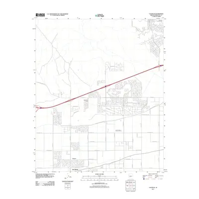 2011 Valencia2011 Print · USGSBuckeye and Valencia are captured during a period of significant growth into the Arizona desert landscape. Researchers can trace local landmarks like the Louis B Hazelton Memorial Cemetery and the Roosevelt Irrigation District.
 - 2011 Map of White Tank Mountains, 2011 Print
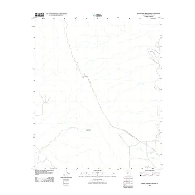 2011 White Tank Mountains2011 Print · USGSThe desert peaks and canyons of Maricopa County are documented here in the early twenty-first century. Researchers can trace the topography of the White Tank Mountains, locating Barry Goldwater Peak and the canyon routes of Waterfall Canyon Rd.
 - 2011 Map of Wittmann, 2011 Print
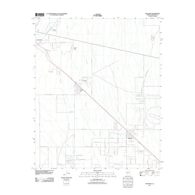 2011 Wittmann2011 Print · USGSMaricopa County's northwest desert landscape comes into focus during the early 2010s, showing the residential expansion around Wittmann and Circle City. Researchers can trace local aviation history at Thunder Ridge Airpark and Castle Well Airport or follow the paths of Trilby Wash and Iona Wash.
 - 2011 Map of Waddell, 2011 Print
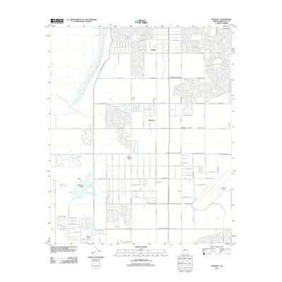 2011 Waddell2011 Print · USGSMaricopa County's West Valley comes into focus at a time of significant suburban expansion and flood management. Genealogists and local historians can trace the development of Citrus Park, Waddell, and aviation landmarks like Coyner Airstrip.
 - 2011 Map of Belmont Mountain, 2011 Print
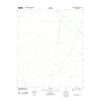 2011 Belmont Mountain2011 Print · USGSMaricopa County's arid ranchlands and mountain slopes are captured here in the early twenty-first century. Genealogists and desert historians can locate Hovis Ranch and trace the paths of Vulture Mine Rd and Beer Bottle Wash.
 - 2011 Map of Cotton Center, 2011 Print
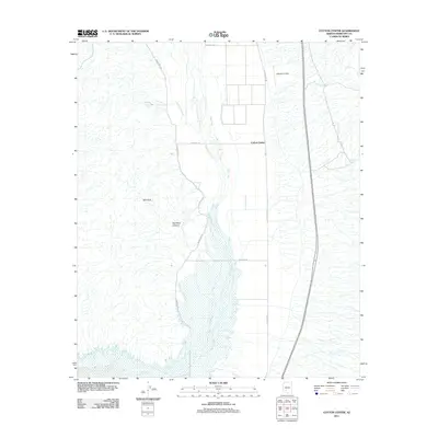 2011 Cotton Center2011 Print · USGSMaricopa County's desert lowlands are captured here in the early twenty-first century, showing the critical water systems of the Gila Valley. Genealogists and historians can trace the irrigation network of the Enterprise Canal and landmarks like Lakeside Airpark and Cotton Center.
 - 2011 Map of Butterfield Pass, 2011 Print
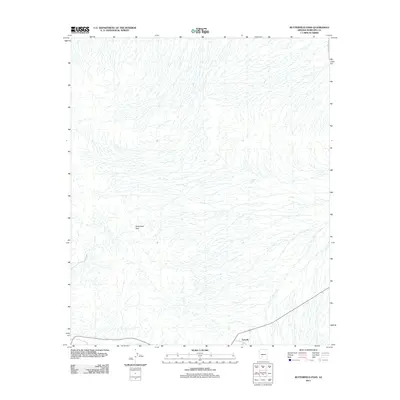 2011 Butterfield Pass2011 Print · USGSMaricopa County during the early 2010s shows a landscape of arid washes and desert crossings before the expansion of the metropolitan fringe. Researchers can trace the path through Butterfield Pass and locate the settlement of Estrella and the Conley Tank.
 - 2011 Map of Red Picacho, 2011 Print
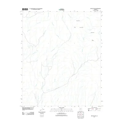 2011 Red Picacho2011 Print · USGSMaricopa County's high desert peaks and braided drainage systems are documented here during the early twenty-first century. Researchers can trace the paths of San Domingo Wash and Ox Wash or locate local landmarks like Pechan Camp and White Picacho.
 - 2011 Map of Star Well, 2011 Print
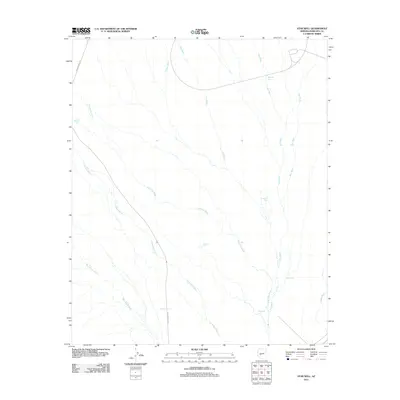 2011 Star Well2011 Print · USGSMaricopa County's arid drainages and vital water tanks are mapped here during the early twenty-first century. Researchers can trace the paths of Jackrabbit Wash and Beer Bottle Wash or locate ranching landmarks like Star Well and Mitchell Tank.
 - 2011 Map of Cotton Center SE, 2011 Print
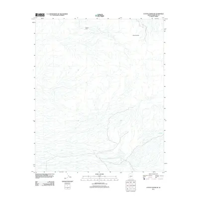 2011 Cotton Center SE2011 Print · USGSMaricopa County's arid interior is revealed here just after the turn of the millennium, showing a landscape shaped by drainage and elevation. Researchers can locate desert water sources like Fortymile Desert Tank and Gap Tank near the slopes of Sheep Mountain.
 - 2011 Map of Citrus Valley East, 2011 Print
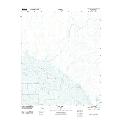 2011 Citrus Valley East2011 Print · USGSMaricopa County's arid river valley is documented here just after the first decade of the millennium, showing a landscape shaped by the Gila River. Researchers can trace tribal transit routes like Indian Route Road 401 and the rural agricultural grid along 363rd Ave.
 - 2011 Map of Garfias Mountain, 2011 Print
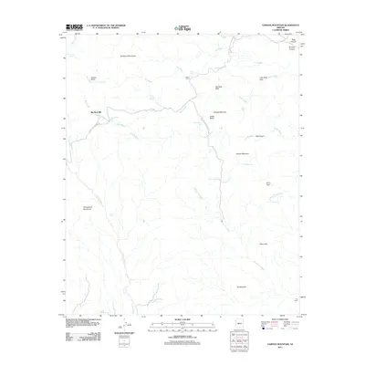 2011 Garfias Mountain2011 Print · USGSMaricopa County's high desert terrain is captured here in the early twenty-first century, showing a landscape of remote ranching and rugged mountain peaks. Researchers can trace the water-dependent history of the area through sites like Big Reef Mill, Eleven L Ranch, and Saint Anthony Spring.
 - 2011 Map of Laveen, 2011 Print
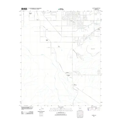 2011 Laveen2011 Print · USGSThe Laveen area southwest of Phoenix shows a mix of suburban growth and tribal community lands during the early twenty-first century. Genealogists and historians can trace local roots at Maricopa Cemetery and Saint Johns Mission along the Gila River.
 - 2011 Map of Montezuma Peak, 2011 Print
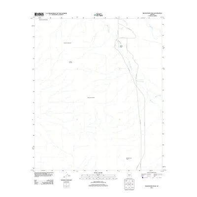 2011 Montezuma Peak2011 Print · USGSThe high peaks of the Sierra Estrella and the desert floor of Maricopa County are captured here in the early twenty-first century. Researchers can trace the drainage of the Santa Cruz Wash or locate the community of Santa Cruz near Cemetery Rd.
 - 2011 Map of Phoenix, 2011 Print
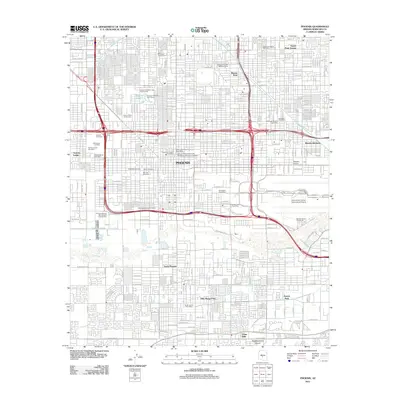 2011 Phoenix2011 Print · USGSPhoenix at the start of the 2010s shows a modern desert metropolis still anchored by its deep-rooted civic and irrigation history. Researchers can trace ancestral sites at Old City Cemetery or explore landmarks like the Arizona State Fairgrounds and the Grand Canal.
 - 2011 Map of Buckeye NW, 2011 Print
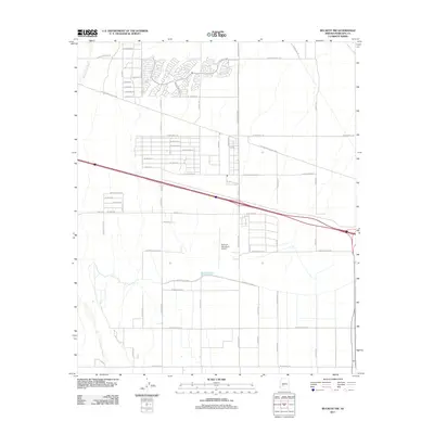 2011 Buckeye NW2011 Print · USGSMaricopa County's western frontier is captured here in the early 2010s, showing a landscape defined by the Hassayampa River and modern growth. Researchers can trace the layout of the Buckeye Municipal Airport and irrigation routes like the Roosevelt Canal.
 - 2011 Map of Mobile, 2011 Print
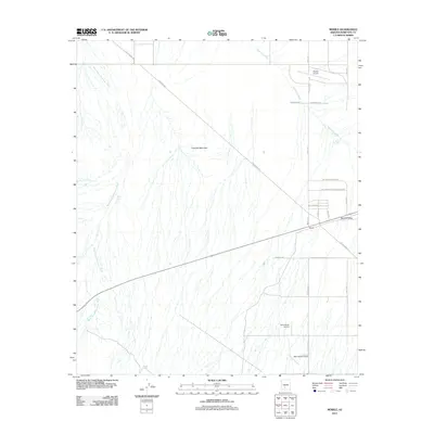 2011 Mobile2011 Print · USGSMaricopa County's southern desert comes into focus in this early twenty-first-century survey of the Mobile area. Aviation and history enthusiasts can trace the old Butterfield Stage Rd or locate rural airstrips like Schu Ranch Airport.
Showing maps 1-25 of 543
Top cities of Maricopa County
- Phoenix historical maps
- Mesa historical maps
- Chandler historical maps
- Glendale historical maps
- Scottsdale historical maps
- Gilbert historical maps
See more
Frequently asked questions
- What are the different types of historical maps available for Maricopa County?
- What is the oldest map of Maricopa County?
- Where can I purchase historical maps of Maricopa County for my home or office?
- Where can I download high-res historical maps of Maricopa County?
- Are there historical topographic maps available for Maricopa County?
- Is there historical aerial imagery available for Maricopa County?
- Where are historical maps of Maricopa County sourced from?