2020s Maps of Maricopa County, Arizona
Explore 199 historic maps of Maricopa County from the 2020s. These maps offer a rare glimpse into what life looked like during the 2020s — showing old roads, neighborhoods, homes, and landmarks that have changed or disappeared over time.
Whether you're researching your family's past, planning a metal detecting trip, or studying how Maricopa County's landscape evolved across the 2020s, these high-resolution maps are a powerful tool for exploring the history of this region.
- Focus on a specific era: All maps on this page are from the 2020s, giving you a focused view of this time period.
- See what’s changed: Compare century-old streets, trails, and buildings to today's modern landscape using overlays and satellite layers.
- Research with precision: Use these maps for genealogy, historical research, land use analysis, or educational projects.
- View, download, or print: Maps are fully viewable online in high resolution, and can be downloaded or printed for your own records.
Start exploring Maricopa County's history through authentic maps from the 2020s. This is your window into the past.
Maricopa County, AZ maps
(199)- 2021 Map of Dendora Valley, 2021 Print
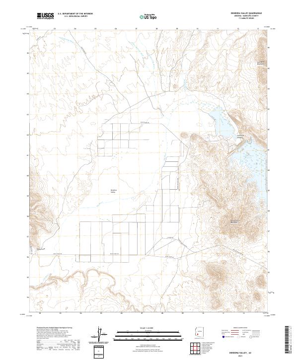 2021 Dendora Valley2021 Print · USGSArizona's desert interior comes into focus in this 2020s survey of the Maricopa County landscape. Researchers can trace the path of the Gila River into the Painted Rock Reservoir and locate rural landmarks like Rocky Point and Dendora Valley.
 - 2021 Map of Sentinel SE, 2021 Print
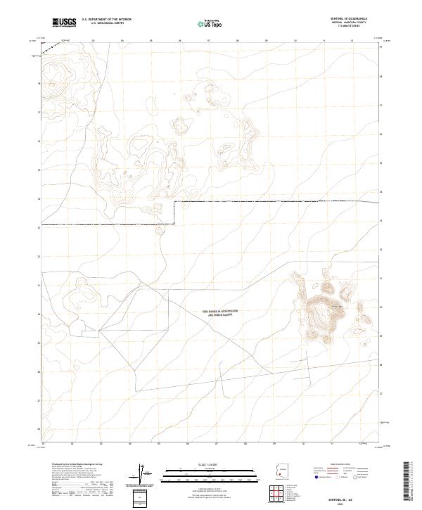 2021 Sentinel SE2021 Print · USGSThe southwestern Arizona desert near the border of Maricopa County is captured here in the early twenty-first century. Researchers can trace the topography of Cinder Mountain and the grid of tracks through sections like T7S R8W and T7S R7W.
 - 2021 Map of Weldon Hill, 2021 Print
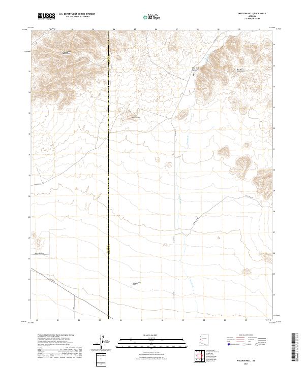 2021 Weldon Hill2021 Print · USGSThe desert frontier of Maricopa and La Paz counties is captured here in the early twenty-first century. Researchers can trace the drainage of Tiger Wash and the steep terrain of the Harquahala Mountains and Big Horn Mountains as they descend toward Weldon Hill.
 - 2021 Map of Fourth of July Butte, 2021 Print
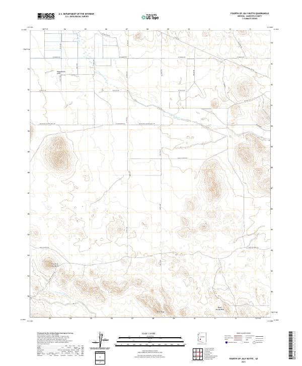 2021 Fourth of July Butte2021 Print · USGSMaricopa County's western desert reaches are documented here in the early twenty-first century, showing a landscape defined by utility corridors and desert peaks. Trace the geography of the Harquahala Plain and the rocky outcrops of Fourth of July Butte or Dixie Peak.
 - 2021 Map of Yellow Medicine Butte, 2021 Print
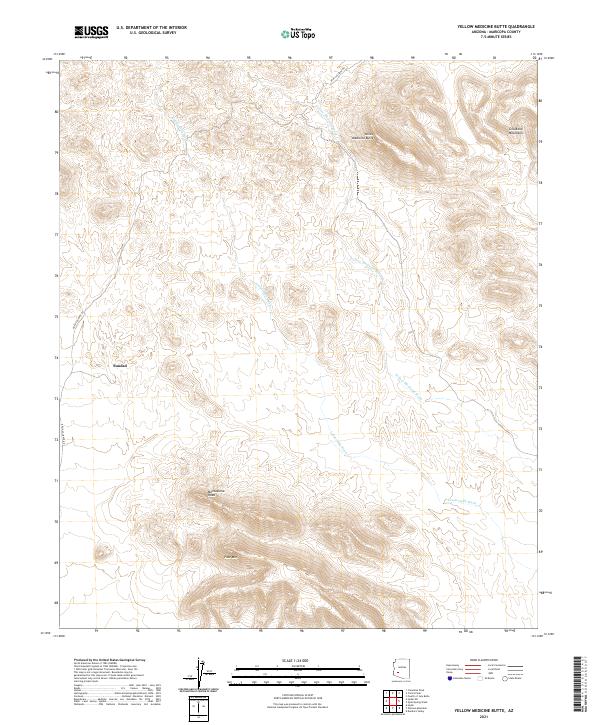 2021 Yellow Medicine Butte2021 Print · USGSMaricopa County's arid interior is documented here in the early 2020s, showing the high desert peaks and seasonal washes of the Gila Bend Mountains. Researchers can trace the road to Sundad or locate landmarks like Montezuma Head and Face Mtn.
 - 2021 Map of Cortez Peak, 2021 Print
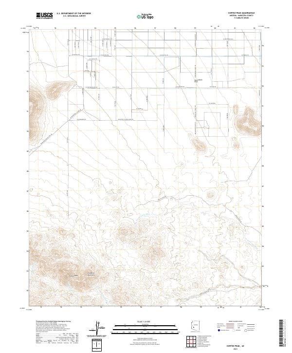 2021 Cortez Peak2021 Print · USGSMaricopa County's western desert landscape is shown here in the 2020s, where the high ridges of the Gila Bend Mountains meet the desert floor. Trace the historic paths of Arlington-Clanton Well Rd and the seasonal flow of Fourth of July Wash below Cortez Peak.
 - 2021 Map of Hyder, 2021 Print
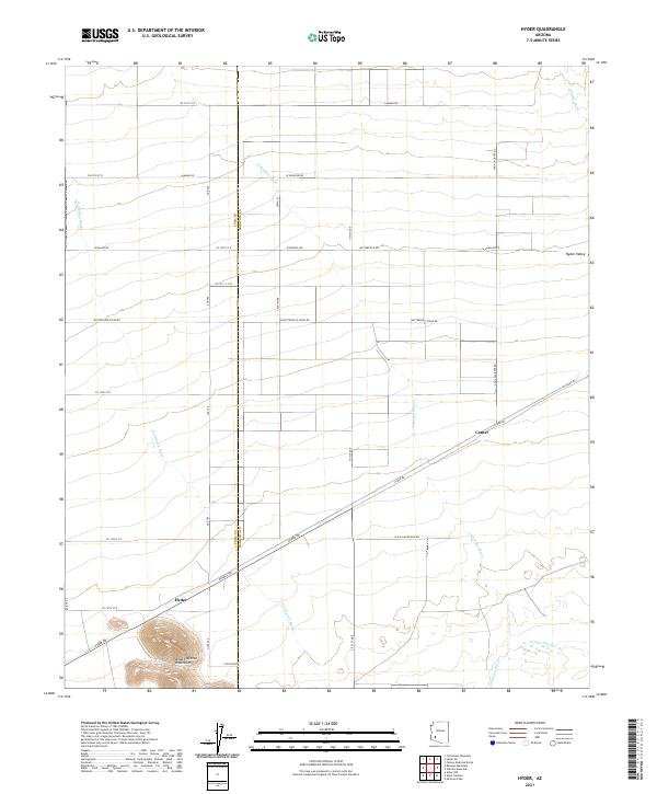 2021 Hyder2021 Print · USGSHyder Valley in the early twenty-first century remains a vast landscape of desert washes and remote settlements. Genealogists and researchers can trace local routes like Butterfield Stage Rd and identify specific holdings near Hyder and Camel.
 - 2021 Map of Saddle Mountain, 2021 Print
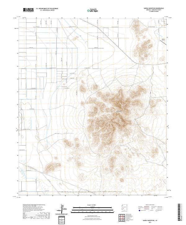 2021 Saddle Mountain2021 Print · USGSThe Maricopa County desert landscape is documented here in the early twenty-first century as the section grid expands toward the mountains. Researchers can trace land divisions and desert landmarks like Saddle Mtn, the Mauldin Airstrip, and Delaney Wash.
 - 2021 Map of Harquahala Mountain, 2021 Print
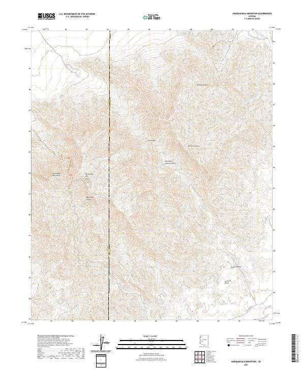 2021 Harquahala Mountain2021 Print · USGSThe Harquahala Mountains stand along the Maricopa and La Paz county line in this contemporary desert survey. Researchers can trace the rugged drainage of Arrastre Gulch and locate vital water sources like Tunnel Spring and Cottonwood Spring.
 - 2021 Map of South of Sentinel, 2021 Print
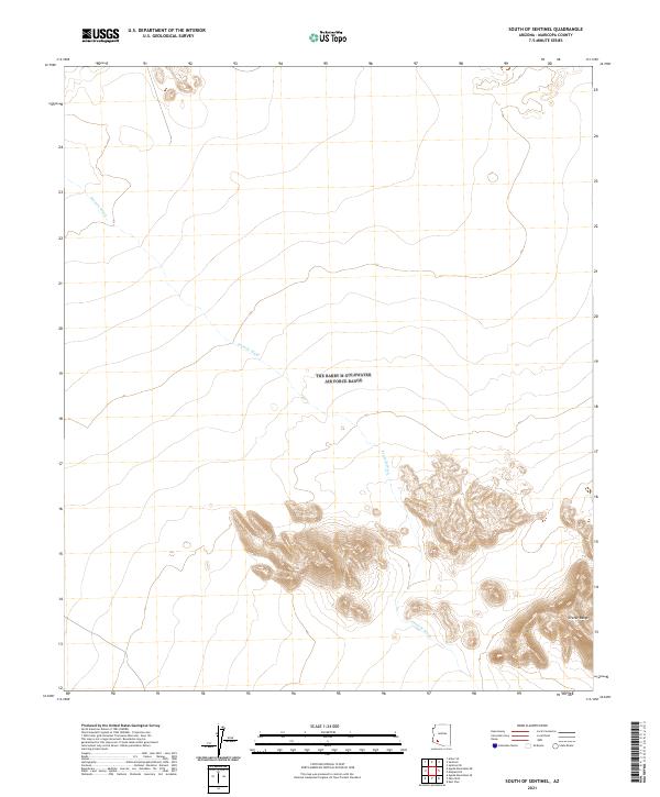 2021 South of Sentinel2021 Print · USGSThe desert landscape of southwestern Arizona is captured here in the early twenty-first century, showcasing a region defined by its natural topography. Researchers can trace the path of Tenmile Wash as it weaves toward the volcanic elevations of the Crater Range.
 - 2021 Map of Eagletail Mountains East, 2021 Print
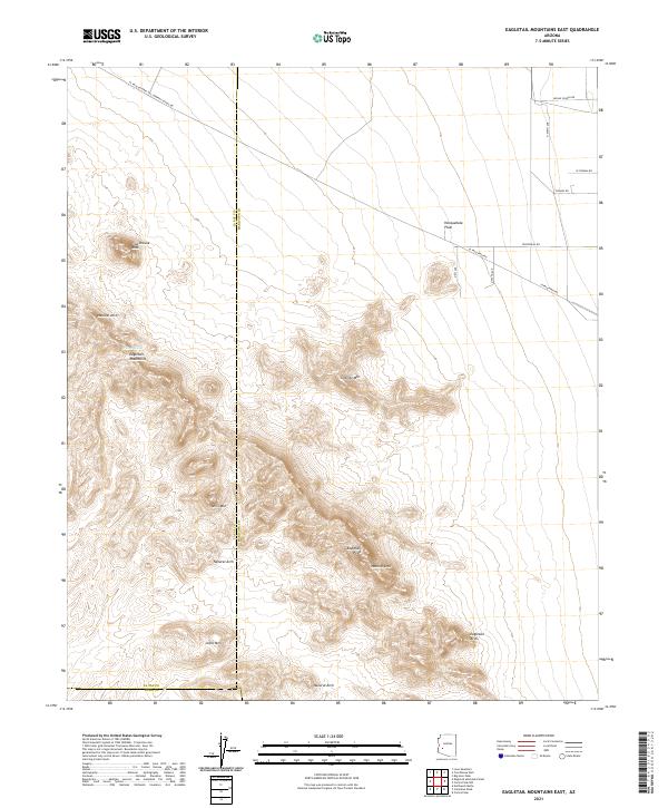 2021 Eagletail Mountains East2021 Print · USGSThe desert frontier where Maricopa and La Paz counties meet is showcased in this recent survey of the southwestern Arizona wilderness. Hikers and researchers can locate landmark features like Courthouse Rock, trace the El Paso Pipeline, and find the remote Willow Spring.
 - 2021 Map of Hummingbird Spring, 2021 Print
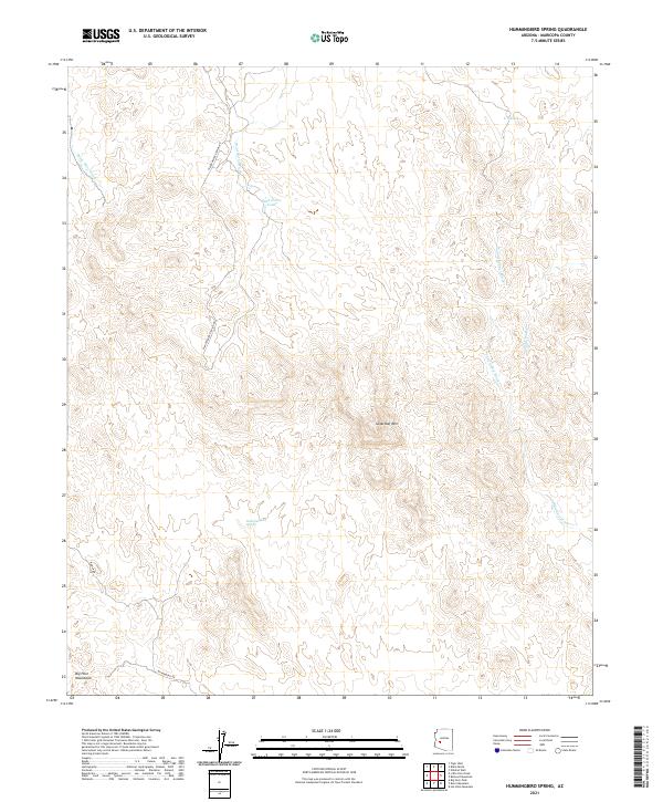 2021 Hummingbird Spring2021 Print · USGSThe northern reaches of the Big Horn Mountains and their desert drainages are captured here in the early twenty-first century. Trace remote desert tracks like W Microwave Station Rd to landmarks such as Sugarloaf Mtn and Hummingbird Spring.
 - 2021 Map of Aguila Mountains NE, 2021 Print
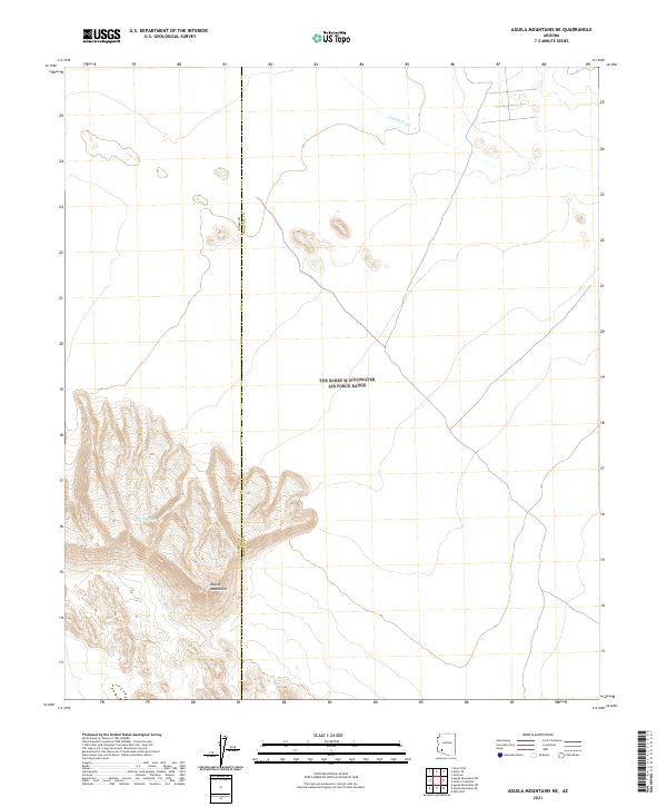 2021 Aguila Mountains NE2021 Print · USGSThe high desert borderlands between Yuma and Maricopa counties appear here in the early twenty-first century. Researchers can trace the drainage of Tenmile Wash or locate the Natural Tank tucked deep within the Aguila Mountains.
 - 2021 Map of Sentinel Peak, 2021 Print
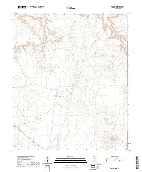 2021 Sentinel Peak2021 Print · USGSMaricopa County's arid expanse is captured here in the early twenty-first century, centered on the prominent Sentinel Peak. Local historians and researchers can trace the modern paths of S Oatman Rd and Painted Rock Rd across the desert floor.
 - 2021 Map of Agua Caliente, 2021 Print
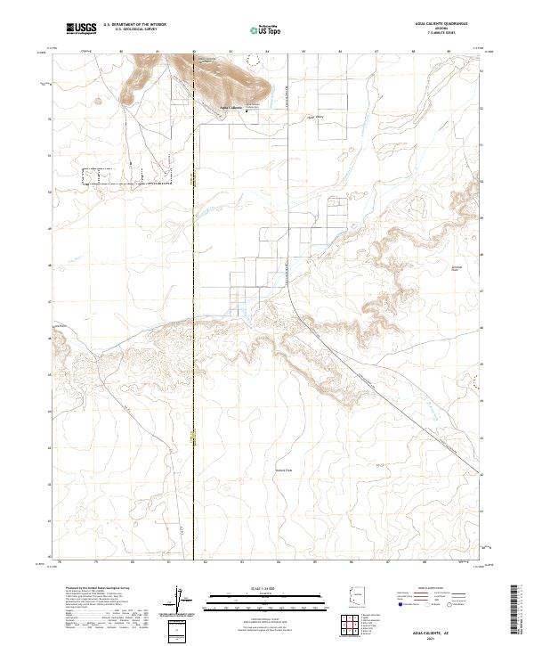 2021 Agua Caliente2021 Print · USGSThe Arizona desert west of Gila Bend is mapped here in the early twenty-first century, showing the crossroads where the county lines meet. Genealogists and local historians can locate the Agua Caliente Pioneer Cem and trace the proximity of Agua Caliente to the Gila River.
 - 2021 Map of Malpais Hill, 2021 Print
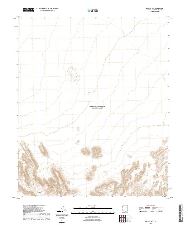 2021 Malpais Hill2021 Print · USGSMaricopa County's southern desert reaches are documented here in the early twenty-first century, showing a landscape shaped by volcanic geology. Researchers can trace the elevation of Malpais Hill or follow the ephemeral path of Midway Wash toward the Crater Range.
 - 2021 Map of Cortez Peak NW, 2021 Print
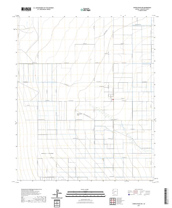 2021 Cortez Peak NW2021 Print · USGSWestern Maricopa County is captured here in the early 2020s, showing the intersection of desert landscape and structured valley expansion. Researchers can trace the path of the Centennial Wash or locate rural developments near Encanto and Courthouse Rd.
 - 2021 Map of Black Butte, 2021 Print
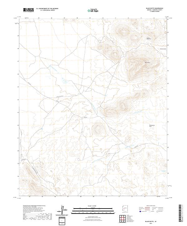 2021 Black Butte2021 Print · USGSThe Vulture Mountains and the Hassayampa Plain define this Maricopa County landscape in the early twenty-first century. Topographic researchers can trace the seasonal paths of Jackrabbit Wash and identify remote landmarks like Black Butte and Rock Holes Tank.
 - 2021 Map of Hyder NE, 2021 Print
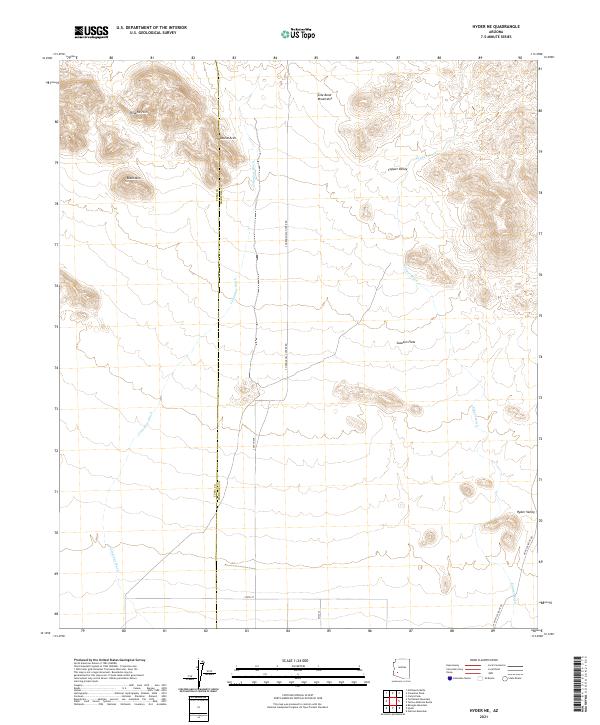 2021 Hyder NE2021 Print · USGSThe desert frontier along the Maricopa and Yuma county line is captured here in the early twenty-first century. Researchers can locate remote landmarks like the Natural Arch and trace the paths of Columbus Wash near settlements at Sacaton Flats.
 - 2021 Map of Columbus Peak, 2021 Print
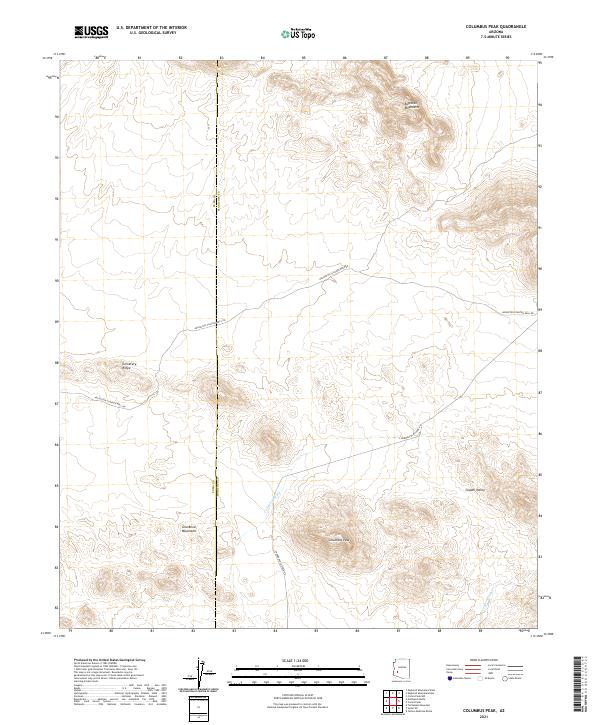 2021 Columbus Peak2021 Print · USGSThe Arizona desert at the Yuma and Maricopa county line is documented here in the early twenty-first century. Outdoor enthusiasts and researchers can trace the routes of Arlington-Clanton Well Rd past Cemetery Ridge and into the Copper Valley.
 - 2021 Map of Big Horn Peak, 2021 Print
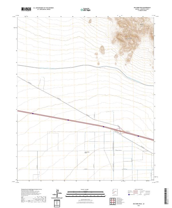 2021 Big Horn Peak2021 Print · USGSMaricopa County's high desert landscape is captured here in the early twenty-first century as modern infrastructure meets traditional terrain. Genealogists and historians can trace the paths of Salome Rd and the Central Arizona Project Aqueduct below the heights of Big Horn Peak.
 - 2021 Map of Forepaugh Peak, 2021 Print
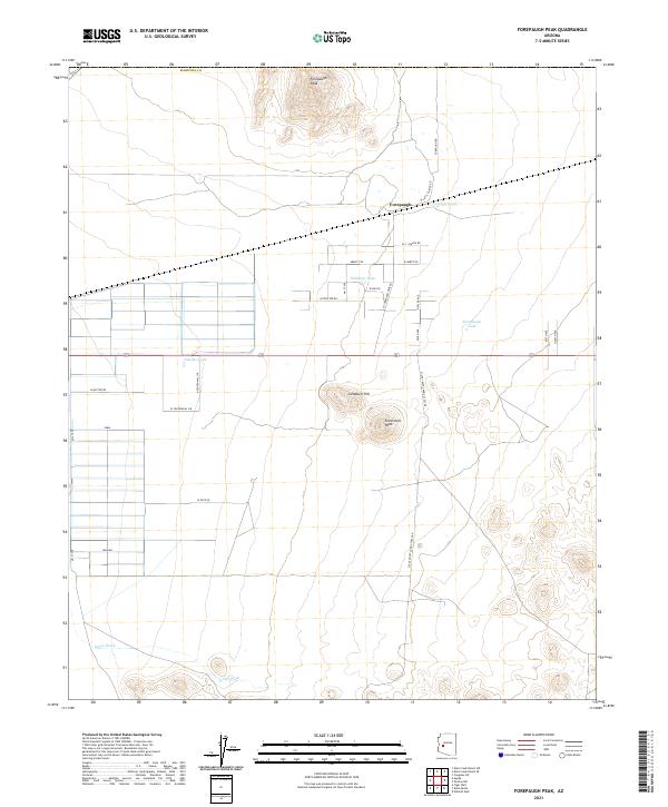 2021 Forepaugh Peak2021 Print · USGSMaricopa County's arid ranchlands come into focus in the early 2020s, showing the intersection of desert peaks and rural homesteads. Trace the local water-management history through Forepaugh Tank and Joonette Tank near the Forepaugh settlement.
 - 2021 Map of Little Horn Peak, 2021 Print
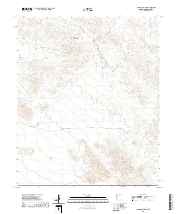 2021 Little Horn Peak2021 Print · USGSThe arid interior of Maricopa County is captured here in the early twenty-first century, showing where the mountains meet the desert floor. Trace the winding tracks of N Little Horn Peak Rd or locate the drainage of Pump Mine Wash near the peak.
 - 2021 Map of Quail Spring Wash, 2021 Print
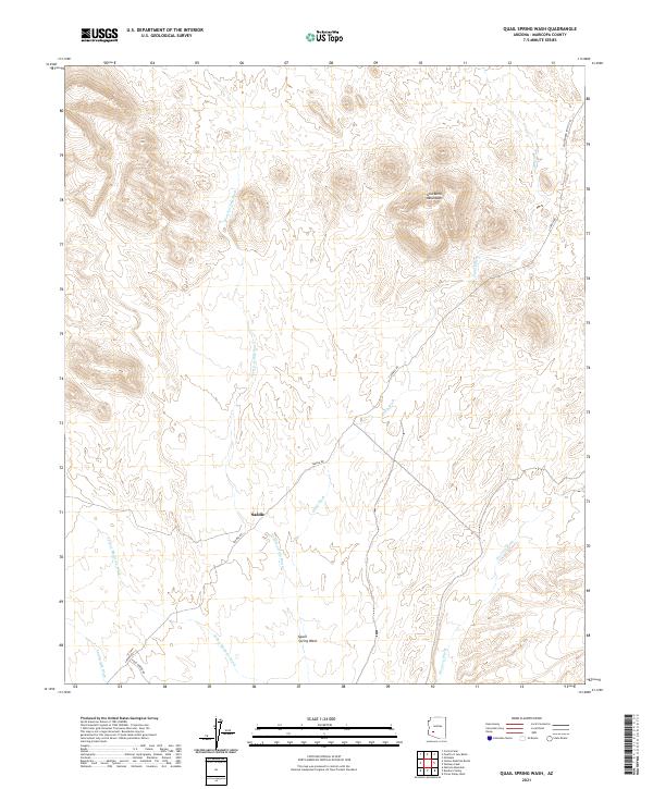 2021 Quail Spring Wash2021 Print · USGSArizona's western desert landscape is documented here in the early twenty-first century, showing the remote country near the Gila Bend Mountains. Researchers can trace the courses of Yellow Medicine Wash and Fourth of July Wash near the small settlement of Saddle.
 - 2021 Map of Burnt Mountain, 2021 Print
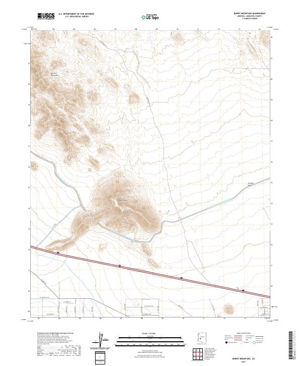 2021 Burnt Mountain2021 Print · USGSMaricopa County's arid frontier is captured here in the early twenty-first century as industrial water infrastructure meets emerging desert development. Trace the massive Central Arizona Project Aqueduct as it bypasses Burnt Mtn and the Tonopah Desert.
Showing maps 1-25 of 199
Top cities of Maricopa County
- Phoenix historical maps
- Mesa historical maps
- Chandler historical maps
- Glendale historical maps
- Scottsdale historical maps
- Gilbert historical maps
See more
Frequently asked questions
- What are the different types of historical maps available for Maricopa County?
- What is the oldest map of Maricopa County?
- Where can I purchase historical maps of Maricopa County for my home or office?
- Where can I download high-res historical maps of Maricopa County?
- Are there historical topographic maps available for Maricopa County?
- Is there historical aerial imagery available for Maricopa County?
- Where are historical maps of Maricopa County sourced from?