2020s Maps of Colusa County, California
Explore 39 historic maps of Colusa County from the 2020s. These maps offer a rare glimpse into what life looked like during the 2020s — showing old roads, neighborhoods, homes, and landmarks that have changed or disappeared over time.
Whether you're researching your family's past, planning a metal detecting trip, or studying how Colusa County's landscape evolved across the 2020s, these high-resolution maps are a powerful tool for exploring the history of this region.
- Focus on a specific era: All maps on this page are from the 2020s, giving you a focused view of this time period.
- See what’s changed: Compare century-old streets, trails, and buildings to today's modern landscape using overlays and satellite layers.
- Research with precision: Use these maps for genealogy, historical research, land use analysis, or educational projects.
- View, download, or print: Maps are fully viewable online in high resolution, and can be downloaded or printed for your own records.
Start exploring Colusa County's history through authentic maps from the 2020s. This is your window into the past.
Colusa County, CA maps
(39)- 2021 Map of Butte City, 2021 Print
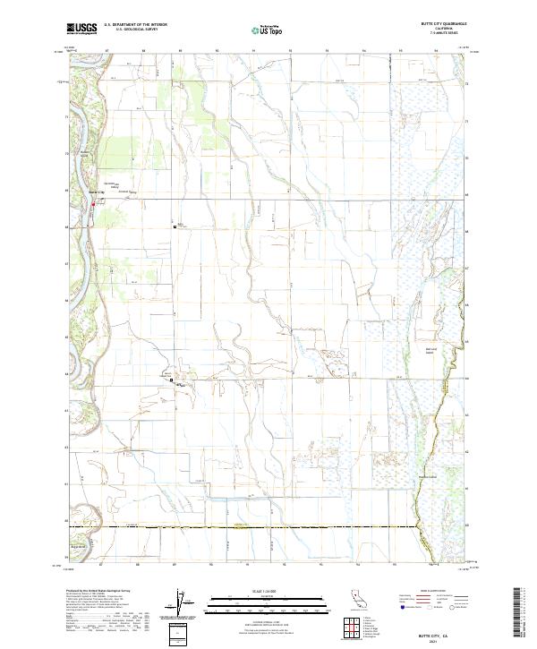 2021 Butte City2021 Print · USGSThe Sacramento River valley in the early 2020s is a landscape defined by its complex waterways and small rural settlements. Researchers can trace family history at Butte City Cem or explore the wetlands around Hoodoo Island and Afton.
 - 2021 Map of Sanborn Slough, 2021 Print
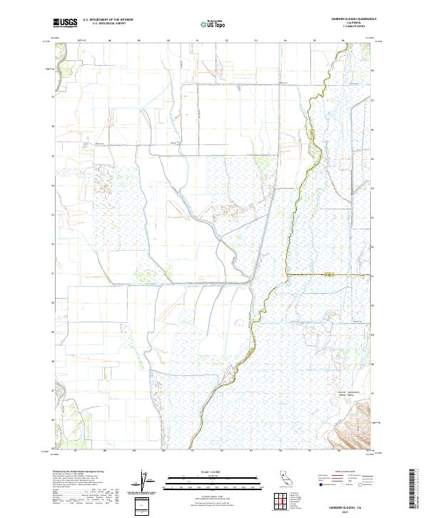 2021 Sanborn Slough2021 Print · USGSThe wetlands of the Central Sacramento Valley are captured here in the early 2020s, showing the intersection of three counties. Researchers can trace the complex water systems of Butte Sink and follow the route of the Cherokee Canal toward the Sutter Buttes.
 - 2021 Map of Tisdale Weir, 2021 Print
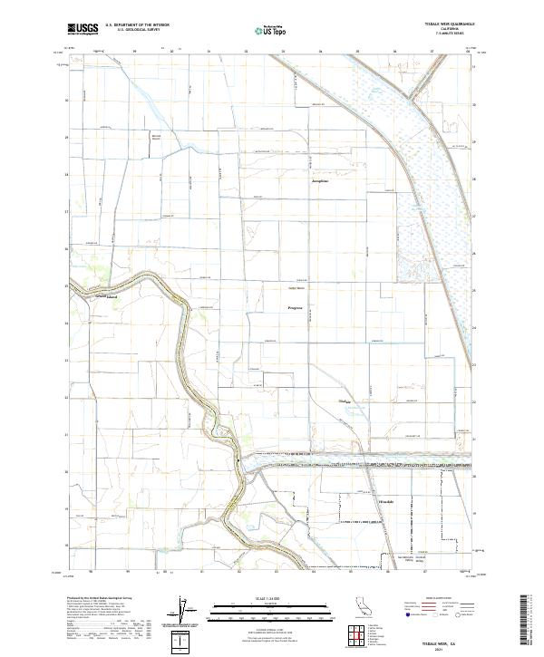 2021 Tisdale Weir2021 Print · USGSThe Sacramento Valley in the early 2020s remains a landscape defined by massive water engineering and river-side settlements. Trace the complex flood control networks of the Sutter By-Pass and Tisdale By-Pass alongside historic points like Grand Island and Joesphine.
 - 2021 Map of Grimes, 2021 Print
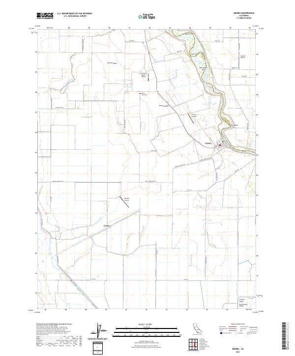 2021 Grimes2021 Print · USGSThe Sacramento River valley comes alive in this modern survey, capturing the agricultural heartland of Colusa County. You can trace family roots at Grand Island Cem or explore the river landings and local airstrips like Balsdon Airport and Farnsworth Ranch Airstrip.
 - 2021 Map of Rumsey, 2021 Print
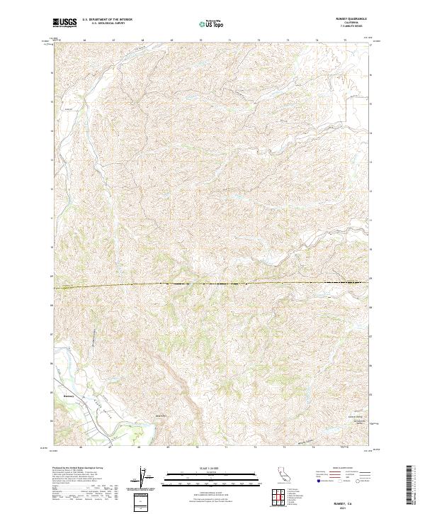 2021 Rumsey2021 Print · USGSThe northern Capay Valley is captured in this contemporary survey as it meets the foothills of the Coast Ranges. Genealogists and local historians can trace the geography around Rumsey, the prominent Blue Cliffs, and the course of Cache Creek.
 - 2021 Map of Meridian, 2021 Print
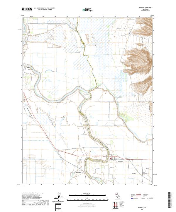 2021 Meridian2021 Print · USGSMeridian and the riverine borderlands of the Sacramento Valley are shown in detail as they appeared in the early 2020s. Researchers can trace local landmarks like Meridian Cem and follow the geography of the Sutter Buttes and the Butte Sink.
 - 2021 Map of Wildwood School, 2021 Print
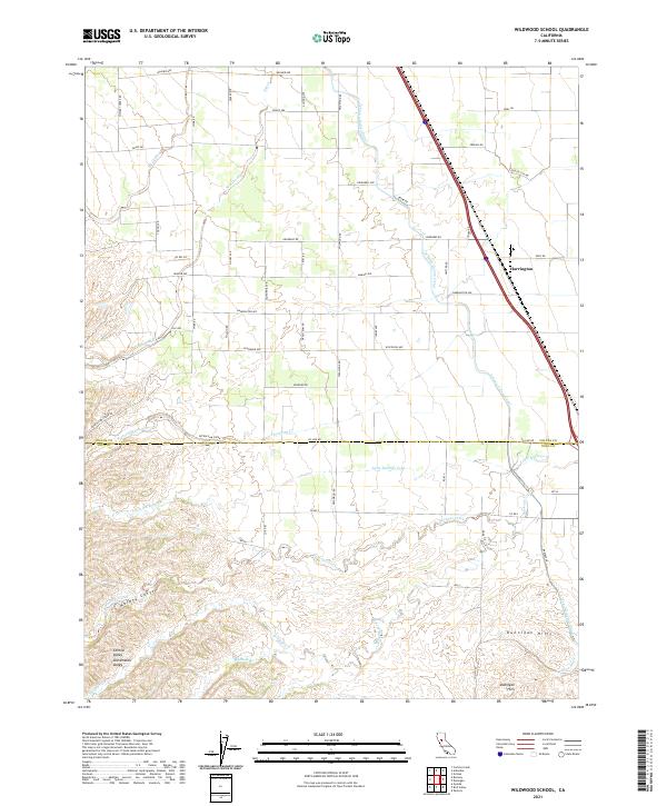 2021 Wildwood School2021 Print · USGSThe northern slopes of the Dunnigan Hills meet the valley floor in this modern survey of the Colusa and Yolo county line. Genealogists and historians can trace family-named routes like Whiskey Creek Road and the path of the Tehama Colusa Canal near Harrington.
 - 2021 Map of Crockett Peak, 2021 Print
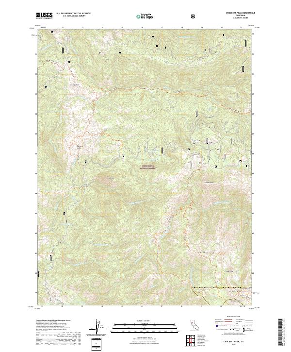 2021 Crockett Peak2021 Print · USGSThe high country of the Mendocino National Forest is documented here just after the turn of the decade, showing the remote peaks of Lake and Colusa counties. Hikers and historians can trace routes like the Bloody Rock Trl to landmarks such as Skeleton Glade and Crockett Peak.
 - 2021 Map of Salt Canyon, 2021 Print
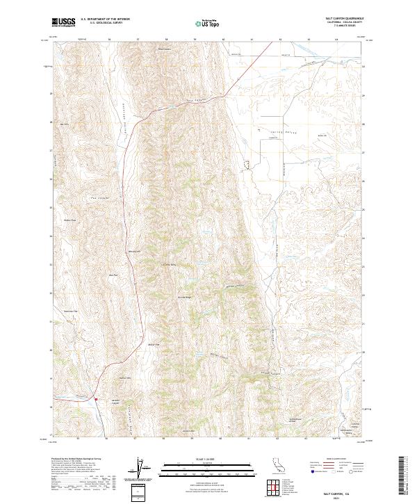 2021 Salt Canyon2021 Print · USGSColusa County's western foothills are documented here during the early twenty-first century, showing the intersection of modern water projects and traditional ranching terrain. Researchers can locate named landmarks like Schoolhouse Divide, the course of the Tehama Colusa Canal, and high points such as Whiskey Hill and Jackson Mtn.
 - 2021 Map of Hough Springs, 2021 Print
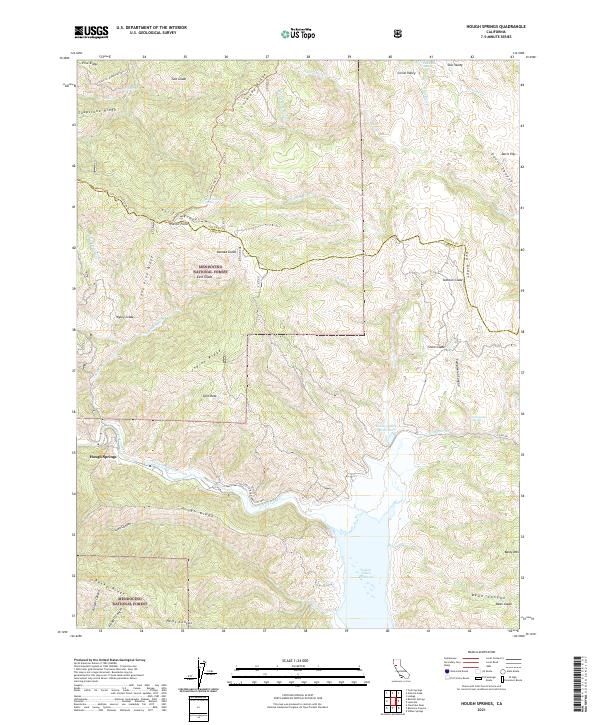 2021 Hough Springs2021 Print · USGSLake and Colusa counties are captured in this recent survey of the Mendocino National Forest's high ridges. Researchers can locate remote landmarks like Hough Springs, trace the Lovelady Trl, and identify clearings such as Kanak Glade.
 - 2021 Map of Princeton, 2021 Print
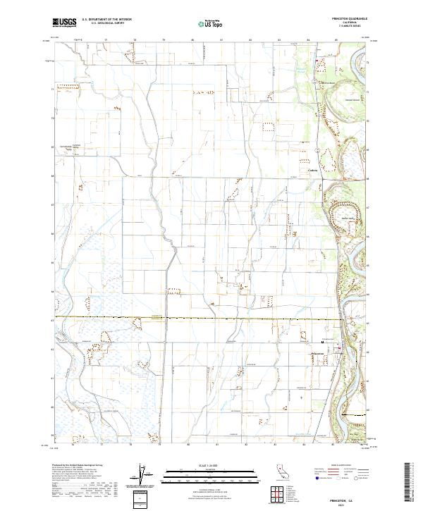 2021 Princeton2021 Print · USGSThe riverfront culture and irrigation systems of the Sacramento Valley are on full display in this modern survey. Genealogists and historians can trace the rural layouts of Princeton and Codora or locate family plots at the Princeton Cem.
 - 2021 Map of Rail Canyon, 2021 Print
 2021 Rail Canyon2021 Print · USGSThe foothills of Glenn and Colusa counties are shown here as they appeared recently, detailing the ridges and drainages west of the Sacramento Valley. Researchers can trace land boundaries and primitive routes like Rail Canyon Rd and CO RD 400 through Hubbard Valley and across Seminary Ridge.
 - 2021 Map of Sites, 2021 Print
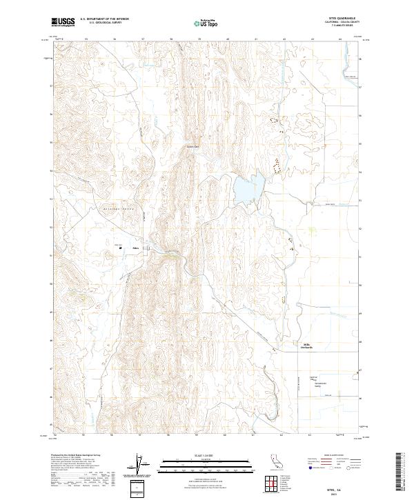 2021 Sites2021 Print · USGSThe rural landscapes of western Colusa County are mapped here in the modern era, centering on the historic ranching community of Sites. Researchers can trace local landmarks like Sites Cem and Mills Orchards alongside the Tehama Colusa Canal.
 - 2021 Map of Lodoga, 2021 Print
 2021 Lodoga2021 Print · USGSColusa County’s rugged interior is documented here in the early 2020s, showing the intersection of ridge-top geography and valley ranching. Genealogists and historians can locate specific sites like Cypress Hill Cem, Pryor Grave, and the waters of East Park Reservoir.
 - 2021 Map of Gilmore Peak, 2021 Print
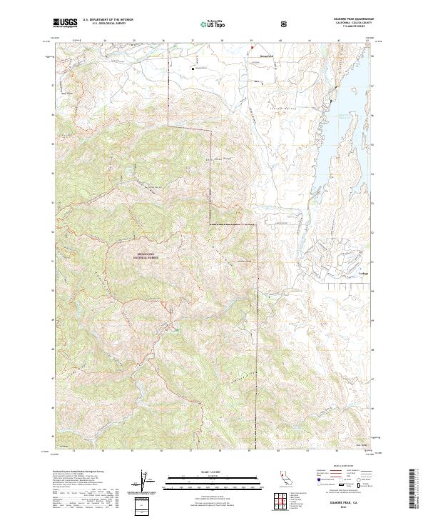 2021 Gilmore Peak2021 Print · USGSColusa County at the edge of the Coast Range is shown here during the early twenty-first century as a landscape of forest ridges and valley outposts. Researchers can trace the layout of Stonyford and Lodoga, find the Stonyford Cem, and explore the backcountry around Gilmore Peak.
 - 2021 Map of Fouts Springs, 2021 Print
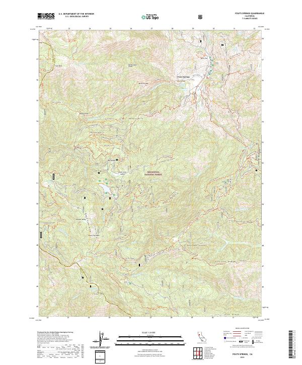 2021 Fouts Springs2021 Print · USGSThe high country of the Mendocino National Forest is documented here in the early twenty-first century, showing a landscape of named glades and springs. Researchers can trace the network of forest trails like the Steam Donkey Trail and locate remote water sources such as Champagne Spring and Red Eye Spring.
 - 2021 Map of Moulton Weir, 2021 Print
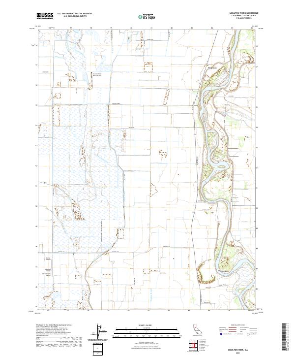 2021 Moulton Weir2021 Print · USGSThe Sacramento River valley in Colusa County reveals a landscape of complex water management and river-bend settlements in the early twenty-first century. Genealogists and researchers can trace local landmarks like Stegeman, the sweeping curve of Hamilton Bend, and the industrial-agricultural utility of the Colusa Trough.
 - 2021 Map of Logan Ridge, 2021 Print
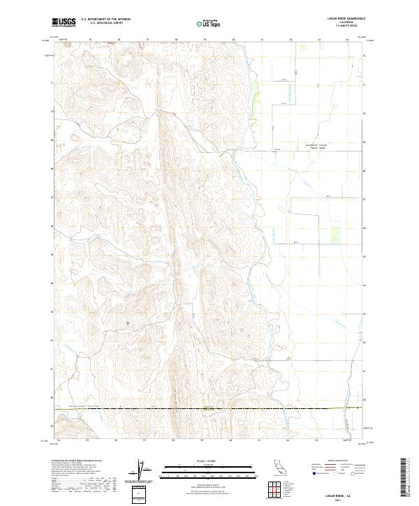 2021 Logan Ridge2021 Print · USGSThe foothills and valley floor of Glenn and Colusa Counties appear here in the early 2020s, dominated by the ridge that divides two distinct valleys. Genealogists and historians can trace the paths of the Tehama-Colusa Canal or locate family-named features like Logan Ridge and Baker Slough.
 - 2021 Map of Manor Slough, 2021 Print
 2021 Manor Slough2021 Print · USGSColusa County's agricultural transition from the Coast Range foothills to the valley floor is captured here in recent years. Researchers can trace the engineering of the Tehama-Colusa Canal and Manor Slough alongside local landmarks like the Antelope Valley Ranch Airport.
 - 2021 Map of Benmore Canyon, 2021 Print
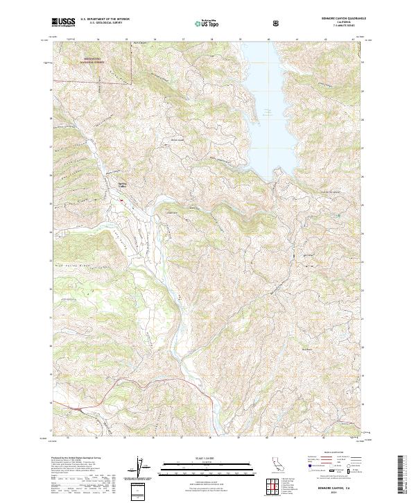 2021 Benmore Canyon2021 Print · USGSLake County high country and the waters of the Indian Valley Reservoir are captured here as they appeared in 2021. Genealogists and hikers can trace rural routes like Spring Valley Rd and Wolf Creek Rd near landmarks such as Chalk Mtn and Stony Top.
 - 2021 Map of Cortina Creek, 2021 Print
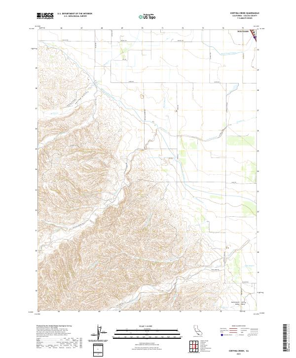 2021 Cortina Creek2021 Print · USGSColusa County's agricultural transition zone is captured here in the early twenty-first century as the valley floor meets the foothills. Trace the paths of the massive Tehama Colusa Canal and family-named routes like Cortina School Rd and Cortina Vineyard Rd.
 - 2021 Map of Glascock Mountain, 2021 Print
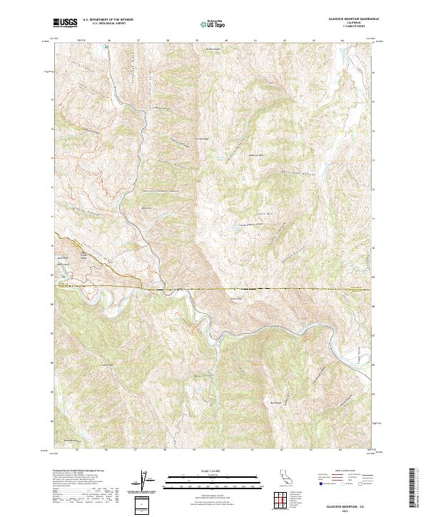 2021 Glascock Mountain2021 Print · USGSThe tri-county border where Colusa, Lake, and Yolo counties meet is shown in this modern topographic study. Researchers can trace landforms and water sources like Glascock Mtn, Cache Creek, and Little Sulphur Spring.
 - 2022 Map of Bartlett Springs, 2022 Print
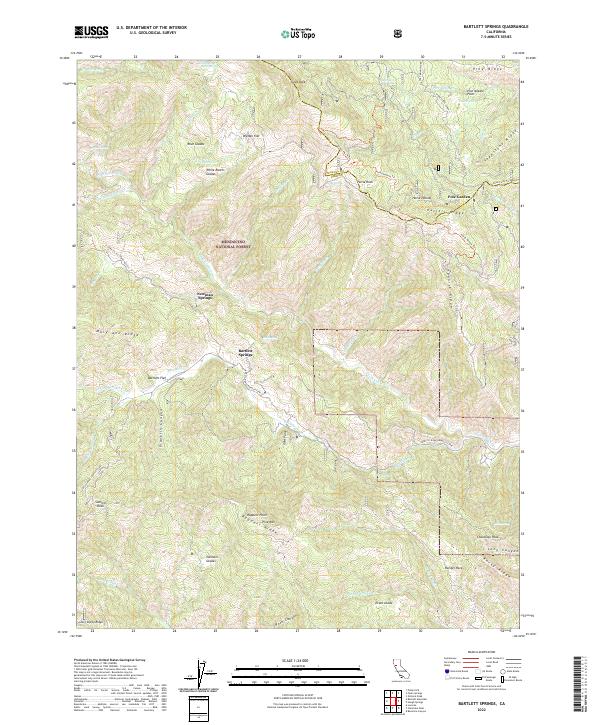 2022 Bartlett Springs2022 Print · USGSLake County's high ridges and mineral springs are documented in this recent survey of the Mendocino National Forest. Researchers can trace the layout of historic mountain retreats and clearings like Bartlett Springs, Allen Springs, and White Ranch Glades.
 - 2022 Map of Arbuckle, 2022 Print
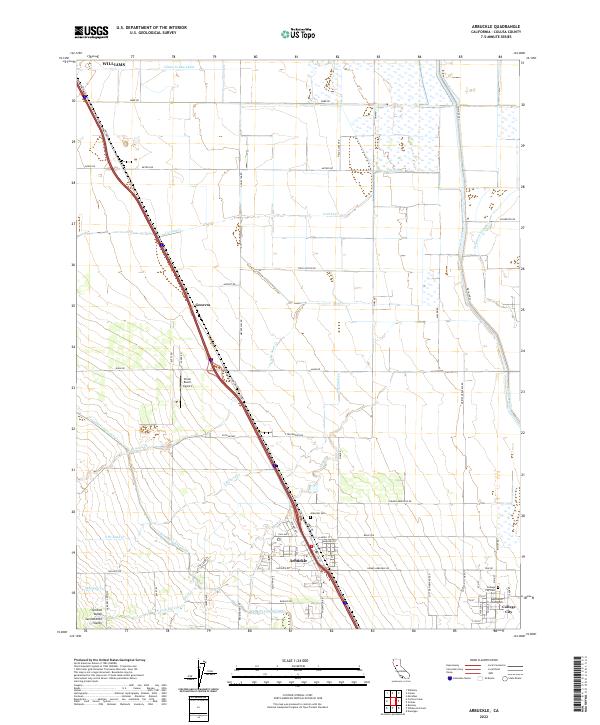 2022 Arbuckle2022 Print · USGSThe Arbuckle area of the Sacramento Valley is captured here in its modern agricultural peak. Researchers can locate family sites near Arbuckle Cem, the grid of College City, and waterways like Sycamore Slough.
 - 2022 Map of Potato Hill, 2022 Print
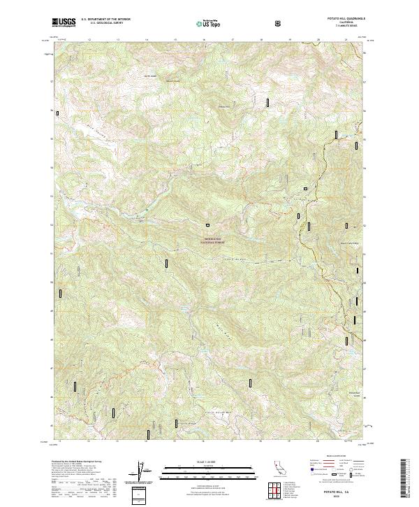 2022 Potato Hill2022 Print · USGSThe high ridges of the Mendocino National Forest are captured here in the early 2020s, showcasing a landscape defined by its remote springs and summits. Researchers can trace forest trails to Crabtree Hot Springs, Timber Lake, and the overlook at Potato Hill.
Showing maps 1-25 of 39
Top cities of Colusa County
Frequently asked questions
- What are the different types of historical maps available for Colusa County?
- What is the oldest map of Colusa County?
- Where can I purchase historical maps of Colusa County for my home or office?
- Where can I download high-res historical maps of Colusa County?
- Are there historical topographic maps available for Colusa County?
- Is there historical aerial imagery available for Colusa County?
- Where are historical maps of Colusa County sourced from?