2010s Maps of Coalinga, California
Explore 18 historic maps of Coalinga from the 2010s. These maps offer a rare glimpse into what life looked like during the 2010s — showing old roads, neighborhoods, homes, and landmarks that have changed or disappeared over time.
Whether you're researching your family's past, planning a metal detecting trip, or studying how Coalinga's landscape evolved across the 2010s, these high-resolution maps are a powerful tool for exploring the history of this region.
- Focus on a specific era: All maps on this page are from the 2010s, giving you a focused view of this time period.
- See what’s changed: Compare century-old streets, trails, and buildings to today's modern landscape using overlays and satellite layers.
- Research with precision: Use these maps for genealogy, historical research, land use analysis, or educational projects.
- View, download, or print: Maps are fully viewable online in high resolution, and can be downloaded or printed for your own records.
Start exploring Coalinga's history through authentic maps from the 2010s. This is your window into the past.
Coalinga, CA maps
(18)- 2012 Map of Avenal, 2012 Print
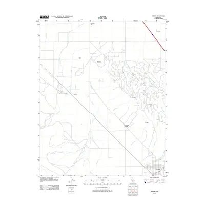 2012 Avenal2012 Print · USGSAvenal and the surrounding cattle ranches of the Kettleman Hills are documented here in the early 2010s. Trace the reach of working lands at Starkey and Erwin Ranch or explore the rugged geography of Zapato Chino Canyon and Elephant Hill.
 - 2012 Map of Coalinga, 2012 Print
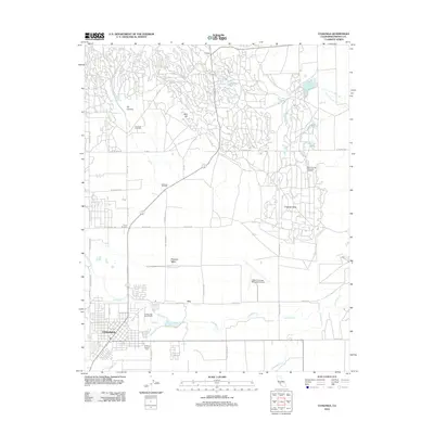 2012 Coalinga2012 Print · USGSCoalinga and the Pleasant Valley appear here in the early 21st century, dominated by the massive infrastructure of the region's petroleum industry. Researchers can trace the layout of the Coalinga Oil Field, locate the Warthan Canyon Cem, and find local landmarks like Oilfields.
 - 2012 Map of Guijarral Hills, 2012 Print
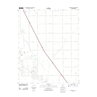 2012 Guijarral Hills2012 Print · USGSFresno County's petroleum and ranching heritage is on full display in this early 21st-century survey. Trace the industrial footprint of the Pleasant Valley Oil Field or locate family-named sites like Pleasant Valley Ranch and Harris Ranch Airport.
 - 2012 Map of Kreyenhagen Hills, 2012 Print
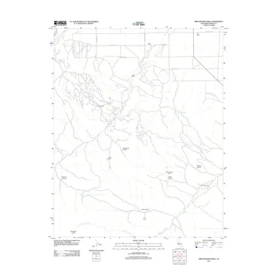 2012 Kreyenhagen Hills2012 Print · USGSFresno County's western rangelands are shown here in the early 2010s, where the energy industry meets traditional cattle ranching. Researchers can trace family-named holdings like Kreyenhagen Ranch and the industrial footprint of the Jacalitos Oil Field.
 - 2012 Map of Curry Mountain, 2012 Print
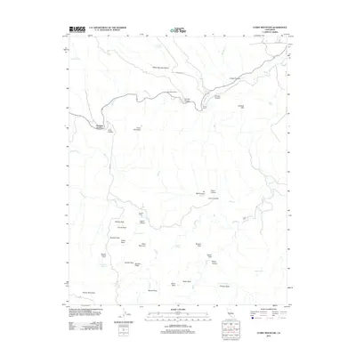 2012 Curry Mountain2012 Print · USGSIn the arid hills of Fresno County during the early twenty-first century, ranching and geology define the landscape. Researchers can trace remote family outposts like Sanderson Ranch and Alcalde Ranch or locate landmarks such as Wildcat Rock.
 - 2012 Map of Alcalde Hills, 2012 Print
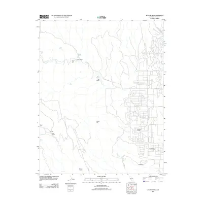 2012 Alcalde Hills2012 Print · USGSThe western outskirts of Coalinga meet the Diablo Range foothills in the early twenty-first century. Researchers can trace the rugged local topography through landmarks like Coalmine Canyon, Sprague Cabin, and the heights of the Alcalde Hills.
 - 2015 Map of Coalinga, 2015 Print
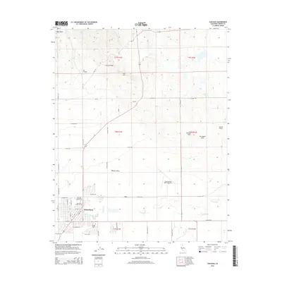 2015 Coalinga2015 Print · USGSThe western San Joaquin Valley meets the Diablo Range in this 2015 record of the Coalinga region. Genealogists and researchers can trace the city's modern footprint alongside the Warthan Canyon Cem, West Hills College-Coalinga, and the surrounding Pleasant Valley.
 - 2015 Map of Alcalde Hills, 2015 Print
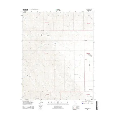 2015 Alcalde Hills2015 Print · USGSThe western edge of the San Joaquin Valley meets the rugged Coast Range in this 2015 survey of the Fresno County foothills. Local researchers can trace family-named landmarks and historical water sources across Dutch Oven Flat, Coalmine Canyon, and the Alcalde Hills.
 - 2015 Map of Guijarral Hills, 2015 Print
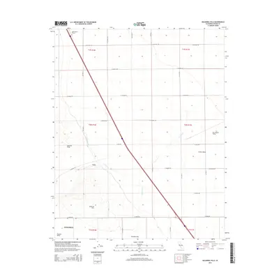 2015 Guijarral Hills2015 Print · USGSWestern Fresno County is captured here in the mid-2010s, where the valley floor meets the rising peaks of the Guijarral Hills. Researchers can trace the path of the Coalinga Canal and locate the settlement of Turk near the mouth of Polvadero Gap.
 - 2015 Map of Curry Mountain, 2015 Print
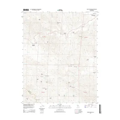 2015 Curry Mountain2015 Print · USGSThe foothills of the Diablo Range come into focus in the mid-2010s, showing the transition from the San Joaquin Valley floor into the high ridges of Fresno County. Researchers can trace the path of Warthan Cr past Parkfield Junction and locate remote landmarks like Wildcat Rock or Busane Peak.
 - 2015 Map of Kreyenhagen Hills, 2015 Print
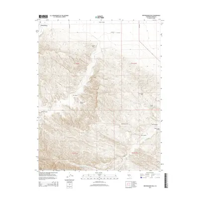 2015 Kreyenhagen Hills2015 Print · USGSThe Fresno County foothills come into sharp focus in the mid-2010s as the San Joaquin Valley meets the Diablo Range. Genealogists and researchers can trace local landmarks from Coalinga into the Kreyenhagen Hills and through Garcia Canyon.
 - 2015 Map of Avenal, 2015 Print
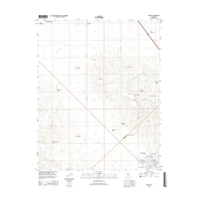 2015 Avenal2015 Print · USGSAvenal and the surrounding California oil country are shown in high detail during the early twenty-first century. Researchers can trace the street-level geography of Avenal near the Avenal Airport and explore named features like North Dome and the Kettleman Hills.
 - 2018 Map of Curry Mountain, 2018 Print
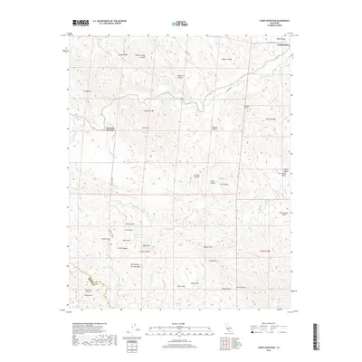 2018 Curry Mountain2018 Print · USGSThe foothills of the Diablo Range southwest of Coalinga are shown in this contemporary topographical survey. Geologists and local historians can trace the paths of Warthan Creek and Jacalitos Creek through landmarks like Devils Gate and Oil Well Canyon.
 - 2018 Map of Alcalde Hills, 2018 Print
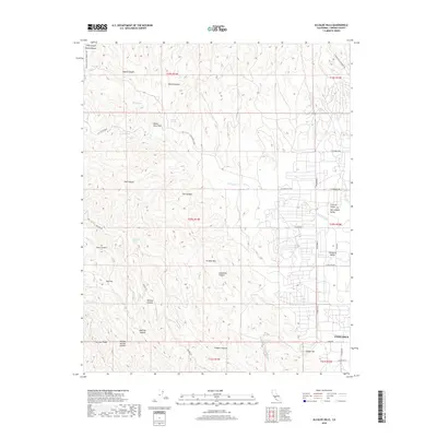 2018 Alcalde Hills2018 Print · USGSThe foothills of the Diablo Range meet the San Joaquin Valley in this modern survey of Fresno County. Trace the canyons and ridges of the Alcalde Hills while locating specific landmarks like Coalinga, Coalmine Canyon, and Mustang Spring.
 - 2018 Map of Avenal, 2018 Print
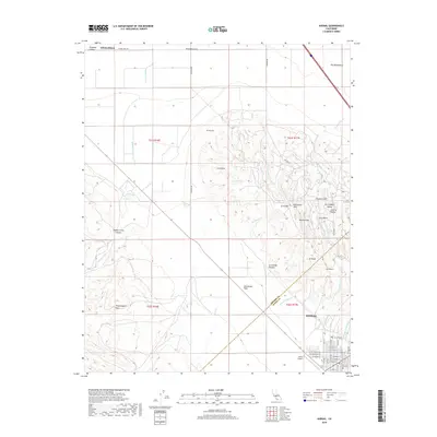 2018 Avenal2018 Print · USGSAvenal sits at the intersection of the Central Valley and the rising Kettleman Hills in the late 2010s. Local researchers can trace the city street grid near the Avenal Airport or follow the intricate drainages of Arroyo Recto and Zapato Chino Cr through the hills.
 - 2018 Map of Coalinga, 2018 Print
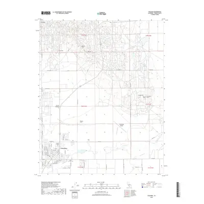 2018 Coalinga2018 Print · USGSCoalinga and the surrounding Fresno County foothills are shown in detail as they appeared in 2018. Researchers can trace the layout of Coalinga town streets, find the Warthan Canyon Cem, and locate landmarks like the New Coalinga Municipal Airport.
 - 2018 Map of Guijarral Hills, 2018 Print
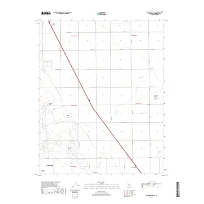 2018 Guijarral Hills2018 Print · USGSThe western edge of the San Joaquin Valley comes into focus in this late 2010s survey of the Guijarral Hills. Researchers can trace water infrastructure and local landmarks like the Coalinga Canal, the Harris Ranch Airport, and the Turk settlement.
 - 2018 Map of Kreyenhagen Hills, 2018 Print
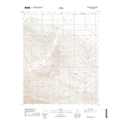 2018 Kreyenhagen Hills2018 Print · USGSThe western edge of the San Joaquin Valley meets the rising Diablo Range in this modern topographic study of the hills near Coalinga. Researchers can trace the rugged drainage networks of Zapato Chino Cr and explore named landforms like Deadman Canyon and Pete Merrill Canyon.
End of results
Showing maps 1-18 of 18
Top cities near Coalinga
Frequently asked questions
- What are the different types of historical maps available for Coalinga?
- What is the oldest map of Coalinga?
- Where can I purchase historical maps of Coalinga for my home or office?
- Where can I download high-res historical maps of Coalinga?
- Are there historical topographic maps available for Coalinga?
- Is there historical aerial imagery available for Coalinga?
- Where are historical maps of Coalinga sourced from?