
Historical Maps of Collier County, Florida
What stories do these 173 old maps tell about Collier County's past? From 1956 to present day, these maps reveal the evolution of streets, neighborhoods, iconic landmarks, and natural features in stunning high-res detail. Whether you're a history enthusiast, genealogist, or professional in education, environmental work, or architecture, these maps are perfect for exploration, research, and discovery.
Discover Collier County's history through maps:
- Trace Collier County's growth: Explore earlier and latest maps and editions to uncover how the region changed over time.
- Examine technical details: Each map includes its creators, publishers, scale, dimensions, and full source information.
- Layer maps with modern tools & imagery: Compare historical maps to modern-day with high-resolution satellite imagery and detailed LiDAR layers.
- Sourced from trusted archives: Carefully preserved and digitized by institutions like the United Stated Geological Survey and the US Library of Congress.
- Access in any format: View and explore in high resolution, download for offline use, or order a museum-quality print for yourself or a loved one.
Begin your journey into Collier County's history with these remarkable must-see maps.
Collier County, FL maps
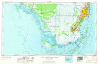
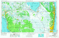
(173)- 1956 Map of Miami, 1963 Print
 1956 Miami1963 Print · USGSCovers Collier County, including Miami, Hialeah, and other nearby areas
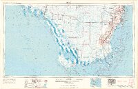
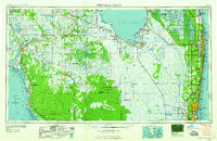
 - 1956 Map of West Palm Beach, 1964 Print
 1956 West Palm Beach1964 Print · USGSCovers Collier County, including Fort Lauderdale, Cape Coral, and other nearby areas
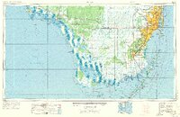
 - 1956 Map of Miami, 1969 Print
 1956 Miami1969 Print · USGSCovers Collier County, including Miami, Hialeah, and other nearby areas
 - 1956 Map of Miami, 1969 Print
 1956 Miami1969 Print · USGSCovers Collier County, including Miami, Hialeah, and other nearby areas
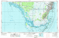
 - 1956 Map of Miami, 1973 Print
 1956 Miami1973 Print · USGSCovers Collier County, including Miami, Hialeah, and other nearby areas
 - 1956 Map of Miami, 1973 Print
 1956 Miami1973 Print · USGSCovers Collier County, including Miami, Hialeah, and other nearby areas
 - 1956 Map of West Palm Beach, 1974 Print
 1956 West Palm Beach1974 Print · USGSCovers Collier County, including Fort Lauderdale, Cape Coral, and other nearby areas
 - 1957 Map of West Palm Beach
 1957 West Palm Beach1957 Print · USGSCovers Collier County, including Fort Lauderdale, Cape Coral, and other nearby areas
 - 1958 Map of West Palm Beach
 1958 West Palm Beach1958 Print · USGSCovers Collier County, including Fort Lauderdale, Cape Coral, and other nearby areas
 - 1958 Map of West Palm Beach
 1958 West Palm Beach1958 Print · USGSCovers Collier County, including Fort Lauderdale, Cape Coral, and other nearby areas
 - 1958 Map of Miami
 1958 Miami1958 Print · USGSCovers Collier County, including Miami, Hialeah, and other nearby areas
 - 1958 Map of Corkscrew SE, 1959 Print
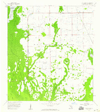 1958 Corkscrew SE1959 Print · USGSCovers Collier County, including Orangetree, United States, and other nearby areas
 - 1958 Map of Bonita Springs, 1959 Print
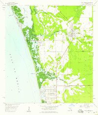 1958 Bonita Springs1959 Print · USGSCovers Collier County, including Bonita Springs, Pelican Bay, and other nearby areas
 - 1958 Map of Belle Meade, 1959 Print
 1958 Belle Meade1959 Print · USGSCovers Collier County, including Lely Resort, Naples Manor, and other nearby areas
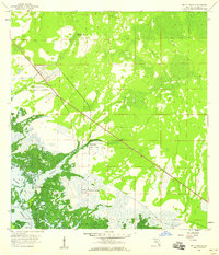
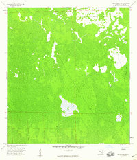
 - 1958 Map of Corkscrew NW, 1959 Print
 1958 Corkscrew NW1959 Print · USGSCovers Collier County, including Wildcat Run, Corkscrew Lakes, and other nearby areas
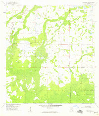
 - 1958 Map of Catherine Island, 1959 Print
 1958 Catherine Island1959 Print · USGSCovers Collier County, including United States, Florida, and other nearby areas
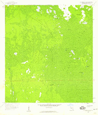
 - 1958 Map of Felda SE, 1959 Print
 1958 Felda SE1959 Print · USGSCovers Collier County, including Hendry County, United States, and other nearby areas
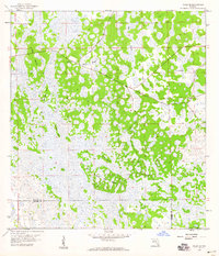
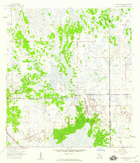
 - 1958 Map of Immokalee, 1959 Print
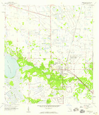 1958 Immokalee1959 Print · USGSCovers Collier County, including Immokalee, Immokalee, and other nearby areas
 - 1958 Map of Felda, 1959 Print
 1958 Felda1959 Print · USGSCovers Collier County, including Felda, Keri, and other nearby areas
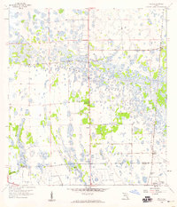
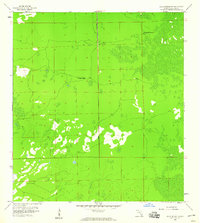
 - 1958 Map of Sunniland, 1959 Print
 1958 Sunniland1959 Print · USGSCovers Collier County, including Hendry County, United States, and other nearby areas
 - 1958 Map of Naples South, 1959 Print
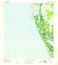 1958 Naples South1959 Print · USGSCovers Collier County, including Naples, United States, and other nearby areas
 - 1958 Map of Belle Meade NE, 1959 Print
 1958 Belle Meade NE1959 Print · USGSCovers Collier County, including United States, Florida, and other nearby areas
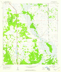
 - 1958 Map of Immokalee NE, 1959 Print
 1958 Immokalee NE1959 Print · USGSCovers Collier County, including Hendry County, United States, and other nearby areas
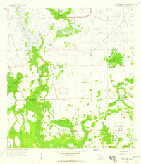
 - 1958 Map of Belle Meade NW, 1959 Print
 1958 Belle Meade NW1959 Print · USGSCovers Collier County, including Vineyards, Golden Gate, and other nearby areas
 - 1958 Map of Immokalee SW, 1959 Print
 1958 Immokalee SW1959 Print · USGSCovers Collier County, including Ave Maria, United States, and other nearby areas
Showing maps 1-25 of 173
Top cities in Collier County
- Immokalee historical maps
- Immokalee historical maps
- Naples historical maps
- Marco Island historical maps
- Lely Resort historical maps
- Pelican Bay historical maps
See more
Frequently asked questions
- What are the different types of historical maps available for Collier County?
- What is the oldest map of Collier County?
- Where can I purchase historical maps of Collier County for my home or office?
- Where can I download high-res historical maps of Collier County?
- Are there historical topographic maps available for Collier County?
- Is there historical aerial imagery available for Collier County?
- Where are historical maps of Collier County sourced from?