2010s Maps of Liberty County, Florida
Explore 66 historic maps of Liberty County from the 2010s. These maps offer a rare glimpse into what life looked like during the 2010s — showing old roads, neighborhoods, homes, and landmarks that have changed or disappeared over time.
Whether you're researching your family's past, planning a metal detecting trip, or studying how Liberty County's landscape evolved across the 2010s, these high-resolution maps are a powerful tool for exploring the history of this region.
- Focus on a specific era: All maps on this page are from the 2010s, giving you a focused view of this time period.
- See what’s changed: Compare century-old streets, trails, and buildings to today's modern landscape using overlays and satellite layers.
- Research with precision: Use these maps for genealogy, historical research, land use analysis, or educational projects.
- View, download, or print: Maps are fully viewable online in high resolution, and can be downloaded or printed for your own records.
Start exploring Liberty County's history through authentic maps from the 2010s. This is your window into the past.
Liberty County, FL maps
(66)- 2012 Map of Forbes Island, 2012 Print
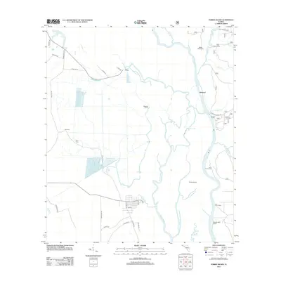 2012 Forbes Island2012 Print · USGSThe Apalachicola River basin in the early 2010s shows a complex web of waterways and isolated islands. You can trace the river's impact on local life through sites like the Brown and Smith Cem and various historic river access points such as Brickyard and Hickory Landing.
 - 2012 Map of Smith Creek, 2012 Print
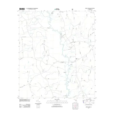 2012 Smith Creek2012 Print · USGSThe Ochlockonee River corridor is captured here in the early twenty-first century, showing a landscape defined by its waterways and forest camps. Trace the locations of historic river access points like Blazed Pine Landing, Smith Creek, and the Jewel Fire Tower.
 - 2012 Map of Bristol, 2012 Print
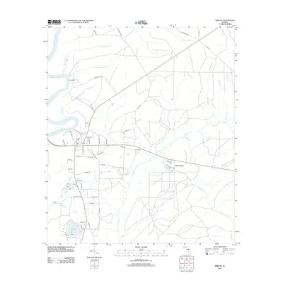 2012 Bristol2012 Print · USGSLiberty County in 2012 shows a landscape defined by the Apalachicola River and the quiet communities of the Florida panhandle. Researchers can locate the Bristol Cem and Mitchum Cem or trace the path of the Old Post Rd.
 - 2012 Map of Sumatra, 2012 Print
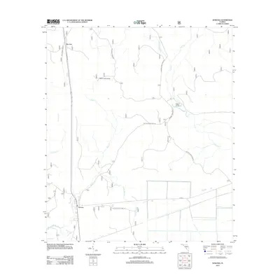 2012 Sumatra2012 Print · USGSLiberty County's forested interior is captured here in the early twenty-first century, showing a landscape defined by timber management and the Apalachicola forest. Trace the remote settlements of Sumatra and Bon Ami or locate seasonal sites like Magnolia Landing Campground and Wright Lake.
 - 2012 Map of Hosford, 2012 Print
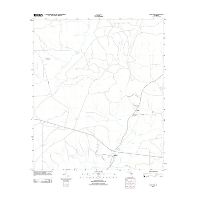 2012 Hosford2012 Print · USGSLiberty County in the early 2010s shows a landscape shaped by rural industry and a dense network of forest creeks. Genealogists and local historians can trace family locations near Lowry, locate the Kent Cem, and explore the roads surrounding Hosford.
 - 2012 Map of Bloxham, 2012 Print
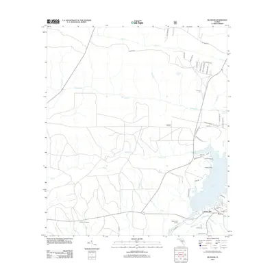 2012 Bloxham2012 Print · USGSThe riverfront communities of Jackson Bluff and Bloxham are captured here in the early 2000s, centered on the Ocklockonee River crossing. Researchers can trace the historic Old Federal Rd, locate the Friendship Cem, and explore the shoreline of Lake Talquin.
 - 2012 Map of Sanborn, 2012 Print
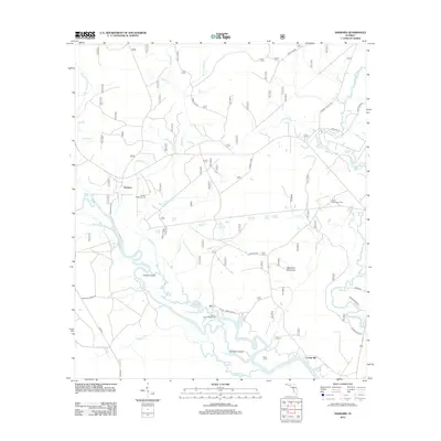 2012 Sanborn2012 Print · USGSThe Florida Panhandle lowlands come alive in this study of the river-braided forests near the Sopchoppy. Researchers can trace family history at the Sanborn McKenzie Cem or locate the sites of Sanborn and Curtis Mill along the winding Ochlockonee River.
 - 2012 Map of Rock Bluff, 2012 Print
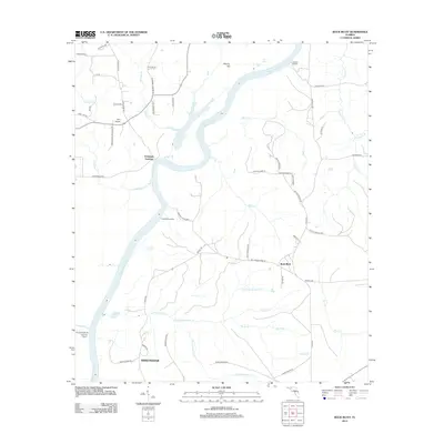 2012 Rock Bluff2012 Print · USGSThe riverfront landings and deep ravines of Liberty County are captured here in the early twenty-first century. Researchers can trace the legacy of river commerce at Ocheesee Landing or locate local landmarks like Sweetwater and Torreya State Park.
 - 2012 Map of Sycamore, 2012 Print
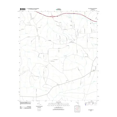 2012 Sycamore2012 Print · USGSGadsden County's rural landscape is captured here in the early twenty-first century, showing a network of creeks and family settlements. Researchers can trace local roots through sites like Smith Cem, Gause Cem, and the community of Sycamore.
 - 2012 Map of Queens Bay, 2012 Print
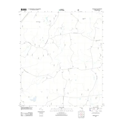 2012 Queens Bay2012 Print · USGSLiberty County's forested wetlands are captured here in the early twenty-first century, showing a landscape defined by water and forest management. Researchers can trace the winding paths of Bay Cr and Swift Br or locate the remote Black Cat Islands.
 - 2012 Map of Wilma, 2012 Print
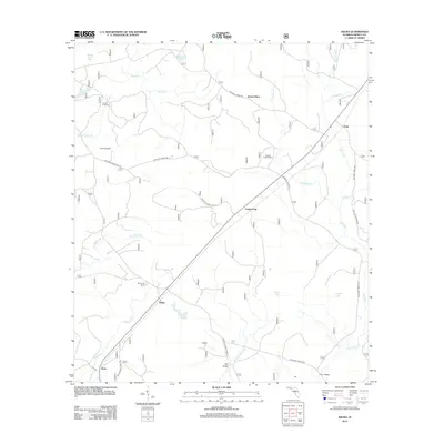 2012 Wilma2012 Print · USGSLiberty County forest lands and small settlements are mapped here in the early twenty-first century. Researchers can locate historic crossings and landmarks like Nixon Garden Cem, Wilma Fire Tower, and the remote outposts of Vilas and Jensen Place.
 - 2012 Map of Woods, 2012 Print
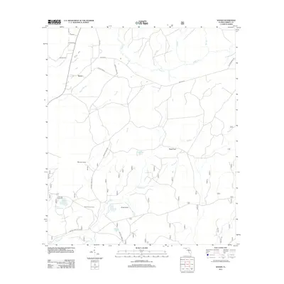 2012 Woods2012 Print · USGSLiberty County was defined by its water and woods in the early 21st century, as rural outposts like Woods remained tied to the local landscape. Genealogists and researchers can locate family-named routes like Stephen J Revell Rd or trace historic points like Smokehouse Crossing and Fawn Ford.
 - 2012 Map of Ward, 2012 Print
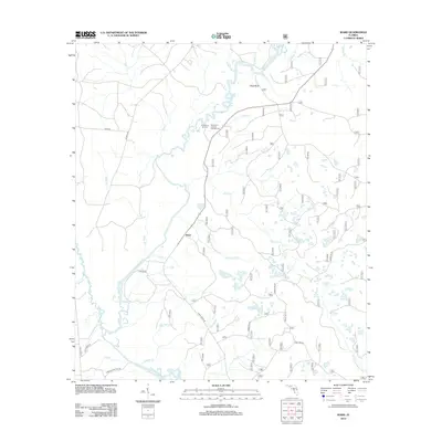 2012 Ward2012 Print · USGSLeon County at the start of the 2010s shows a landscape of riverine bottomlands and forest management. Researchers can trace local landmarks like Ward, the Stoutamire Landing riverfront, and the remote Rhodes Springs.
 - 2012 Map of Thousand Yard Bay, 2012 Print
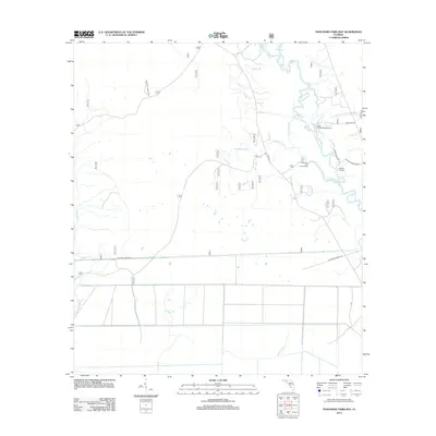 2012 Thousand Yard Bay2012 Print · USGSWakulla County's riverfront and forest lands are documented here in the early twenty-first century, showing the winding path of the Ochlockonee River. Trace the access points and water routes at Mack Landing Campground, Roberts Landing, and Hitchcock Lake.
 - 2012 Map of Telogia, 2012 Print
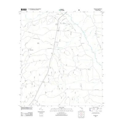 2012 Telogia2012 Print · USGSThe rural panhandle of Liberty County comes into focus in this early twenty-first-century survey. Genealogists and local historians can trace family ties through Old Burnoff Cem, Saint Marys Cem, and the timberlands surrounding Telogia.
 - 2012 Map of Orange, 2012 Print
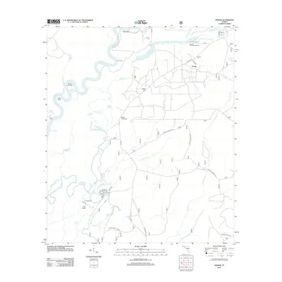 2012 Orange2012 Print · USGSThe river-driven culture of Liberty County is preserved here, showing the intricate wetlands of the Florida panhandle. You can trace the roads to Larkin Fish Camp, locate family burials at Humility Cem, and find old river landings like Porter Landing.
 - 2012 Map of Owens Bridge, 2012 Print
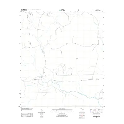 2012 Owens Bridge2012 Print · USGSLiberty County's river bottoms and timberlands are captured here in the early 2010s, showing a landscape defined by water and forest. Researchers can locate remote crossings and family-named spots like Owens Bridge, Twin Pole, and Morgan Place.
 - 2012 Map of Wewahitchka, 2012 Print
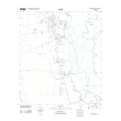 2012 Wewahitchka2012 Print · USGSThe river-rich landscape of the Florida Panhandle is captured here in the early twenty-first century as it centers on the Chipola River corridor. Genealogists can locate several burial sites including Williamsburg Cem and explore old landings like Burgess Landing.
 - 2012 Map of Blountstown, 2012 Print
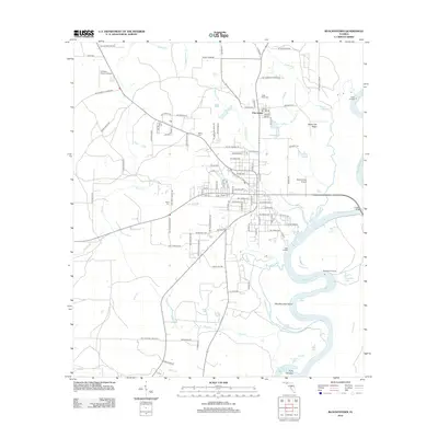 2012 Blountstown2012 Print · USGSCalhoun County's riverfront and rural interior are documented here during the early twenty-first century as the regional landscape maintains its deep connection to the water. Genealogists and local historians can locate several family landmarks and burial sites, including Nettle Ridge Cem, Boggs Cem, and the river access at Neal Landing.
 - 2012 Map of Estiffanulga, 2012 Print
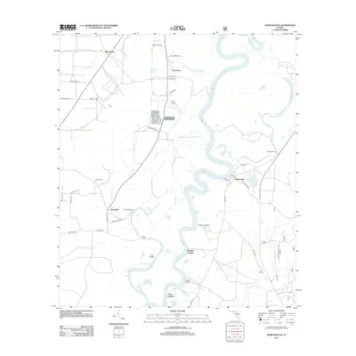 2012 Estiffanulga2012 Print · USGSThe Apalachicola River basin in Calhoun County comes to life in this survey from the early 2010s. Researchers can locate family-named sites like Woods Cem or trace the river's numerous historic access points at Gunn Landing and Muscogee Landing.
 - 2012 Map of Kennedy Creek, 2012 Print
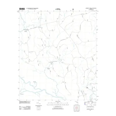 2012 Kennedy Creek2012 Print · USGSFlorida's riverine heartland is captured here in the early twenty-first century, showing the intricate wetlands where the Apalachicola and Chipola rivers meet. Trace river landings and camps like Owl Landing, White Oak Landing, and the Graveyard Pole Lookout.
 - 2012 Map of Dead Lakes, 2012 Print
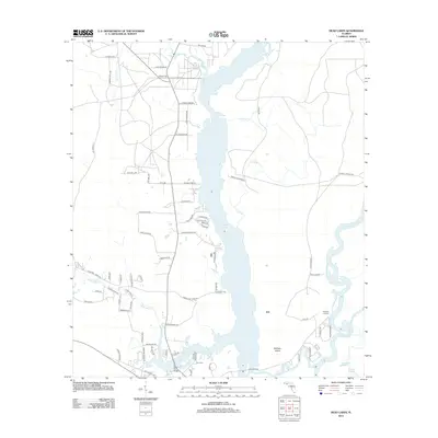 2012 Dead Lakes2012 Print · USGSThe Florida Panhandle river system is captured here in the early twenty-first century, showing the complex wetlands of the Dead Lakes. Genealogists and local historians can locate the Jehu Cem and trace the small riverfront communities at Iola and Chipola Park.
 - 2015 Map of Dead Lakes, 2015 Print
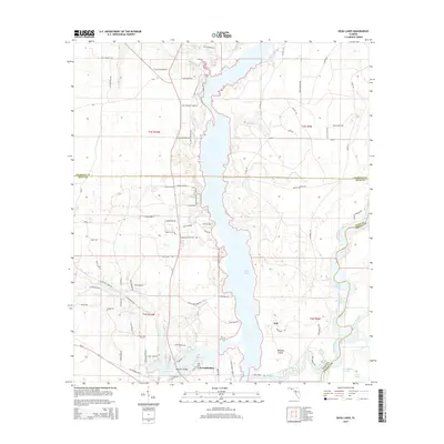 2015 Dead Lakes2015 Print · USGSWewahitchka and the surrounding river systems are captured in this mid-2010s survey of the Gulf County wetlands. Researchers can trace the layout of Iola, locate the Jehu Cem, and map the winding courses of the Chipola River and Apalachicola River.
 - 2015 Map of Forbes Island, 2015 Print
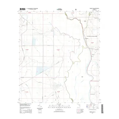 2015 Forbes Island2015 Print · USGSThe riverine borders of Franklin, Gulf, and Liberty counties come alive in this mid-2010s survey of the Apalachicola basin. Researchers can trace family roots at Brown and Smith Cem or explore the wetland geography of Forbes Island and Brickyard.
 - 2015 Map of Bloxham, 2015 Print
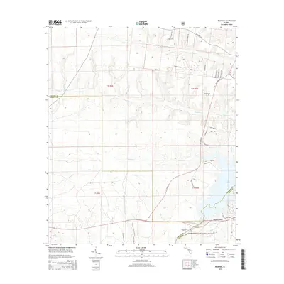 2015 Bloxham2015 Print · USGSFlorida's Panhandle river country comes to life in this detailed survey of the Leon and Gadsden county line. Researchers can trace rural settlement patterns near Bloxham, find the Friendship Cem, and explore the shoreline along Lake Talquin and Jackson Bluff.
Showing maps 1-25 of 66
Top cities of Liberty County
Frequently asked questions
- What are the different types of historical maps available for Liberty County?
- What is the oldest map of Liberty County?
- Where can I purchase historical maps of Liberty County for my home or office?
- Where can I download high-res historical maps of Liberty County?
- Are there historical topographic maps available for Liberty County?
- Is there historical aerial imagery available for Liberty County?
- Where are historical maps of Liberty County sourced from?