2020s Maps of Fort Defiance Agency
Explore 162 historic maps of Fort Defiance Agency from the 2020s. These maps offer a rare glimpse into what life looked like during the 2020s — showing old roads, neighborhoods, homes, and landmarks that have changed or disappeared over time.
Whether you're researching your family's past, planning a metal detecting trip, or studying how Fort Defiance Agency's landscape evolved across the 2020s, these high-resolution maps are a powerful tool for exploring the history of this region.
- Focus on a specific era: All maps on this page are from the 2020s, giving you a focused view of this time period.
- See what’s changed: Compare century-old streets, trails, and buildings to today's modern landscape using overlays and satellite layers.
- Research with precision: Use these maps for genealogy, historical research, land use analysis, or educational projects.
- View, download, or print: Maps are fully viewable online in high resolution, and can be downloaded or printed for your own records.
Start exploring Fort Defiance Agency's history through authentic maps from the 2020s. This is your window into the past.
Fort Defiance Agency maps
(162)- 2020 Map of Surrender Canyon, 2020 Print
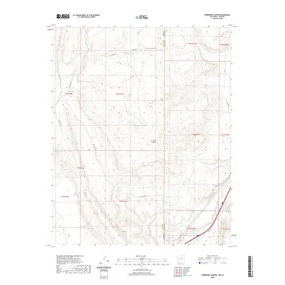 2020 Surrender Canyon2020 Print · USGSThe Arizona and New Mexico borderland at the edge of the Fort Defiance Agency is captured here in the contemporary era. Researchers can trace landforms like Tea Pot and Surrender Canyon alongside modern routes like Indian Rte 12.
 - 2020 Map of Red Lake Well, 2020 Print
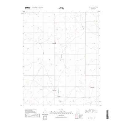 2020 Red Lake Well2020 Print · USGSMcKinley County's high-desert terrain is documented here in the early twenty-first century, centered on the settlement at Red Lake Well. Researchers can trace the layout of tribal transit routes and section lines, including Indian Svc Rte 7057 and the drainage of Indian Cr.
 - 2020 Map of Todilto Park, 2020 Print
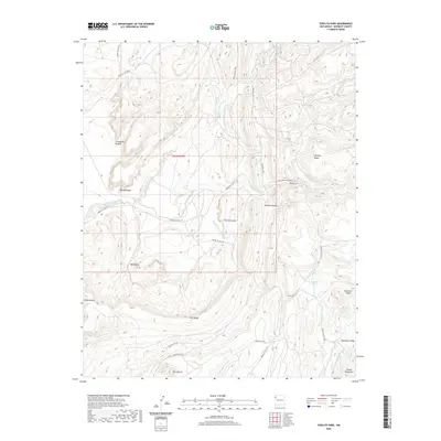 2020 Todilto Park2020 Print · USGSThe Chuska Mountains and their surrounding plateaus appear in high detail at the start of the 2020s. Geologists and researchers can trace unique landforms like Cleopatras Needle and the isolated Bowl Lake while following the path of Old Navajo Svc Rte 31.
 - 2020 Map of Tohatchi, 2020 Print
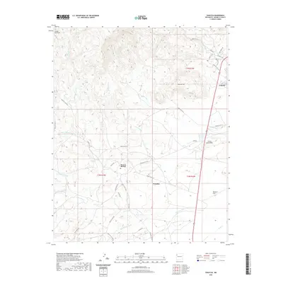 2020 Tohatchi2020 Print · USGSTohatchi and the surrounding highlands are documented here in the early twenty-first century, showcasing the intersection of traditional Navajo lands and modern infrastructure. Researchers can trace the local drainage systems of Mexican Spring Wash and Figueredo Wash or locate residential pockets in Mexican Springs and Nakaibito.
 - 2020 Map of Coyote Canyon NW, 2020 Print
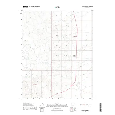 2020 Coyote Canyon NW2020 Print · USGSThe high-desert terrain of McKinley County comes into focus in this contemporary survey of the Navajo Nation. Researchers can trace vital water sources and seasonal drainages like Buffalo Springs, Salt Springs Wash, and Loca Spring.
 - 2020 Map of Chuska Peak, 2020 Print
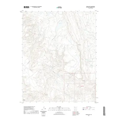 2020 Chuska Peak2020 Print · USGSIn the high country of the Navajo Nation during the early twenty-first century, this landscape is dominated by the massive Chuska Peak. Researchers can trace vital water sources across the terrain, from Whiskey Lake to numerous named landmarks like Manuelito Spring and Antelope Pass.
 - 2020 Map of Standing Rock NW, 2020 Print
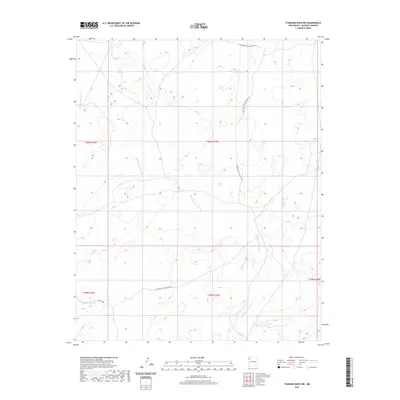 2020 Standing Rock NW2020 Print · USGSThe high-desert terrain of McKinley County in the late twenty-teens is defined by its sweeping drainage systems and open vistas. Genealogists and researchers can trace the course of Standing Rock Wash and locate the rugged path of the Old Bureau of Land Mgmt Rd.
 - 2020 Map of Twin Lakes, 2020 Print
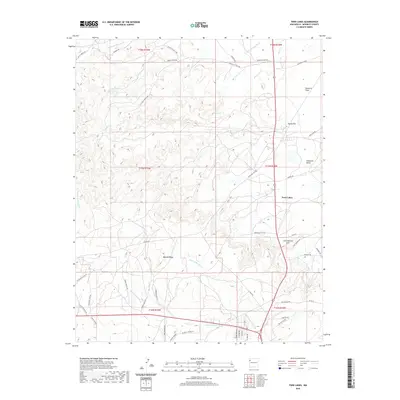 2020 Twin Lakes2020 Print · USGSMcKinley County's high desert landscape is detailed here in the early twenty-first century, centered on the settlement of Twin Lakes. Researchers can trace the drainage of Burned Death Wash and locate landmarks like Umbrella Butte and Gossip Hill.
 - 2020 Map of Chuska Lake, 2020 Print
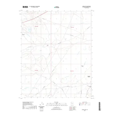 2020 Chuska Lake2020 Print · USGSThe high-desert terrain of the Fort Defiance Agency comes into focus in this recent survey of the McKinley County landscape. Researchers can trace local routes like Navajo Svc Rte 37 between the communities of Tohatchi and Brimhall Nizhoni.
 - 2020 Map of Tse Bonita School, 2020 Print
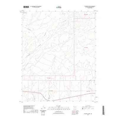 2020 Tse Bonita School2020 Print · USGSThe high mesas and desert washes of New Mexico come into focus in this recent survey of the Fort Defiance Agency. Genealogists and historians can trace local landmarks like Tse Bonita School, Claw Spring, and the winding Coal Mine Wash.
 - 2020 Map of Hard Ground Flats, 2020 Print
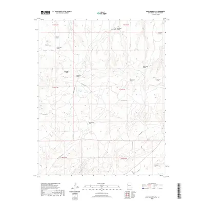 2020 Hard Ground Flats2020 Print · USGSMcKinley County's high-desert canyons and plateaus are captured here in the contemporary era. Local history researchers can trace old routes like Wagon Trail Rd or locate landmarks such as Red Water Pond and the heights of Ram Mesa.
 - 2020 Map of Big Rock Hill, 2020 Print
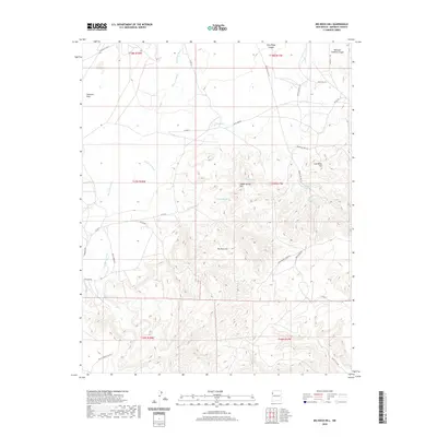 2020 Big Rock Hill2020 Print · USGSMcKinley County, New Mexico, is shown in this modern survey of the high desert and canyon lands. Researchers can trace land use through named water sources like Sheep Spring and distinctive elevations such as Big Rock Hill and Coal Mine Hill.
 - 2020 Map of Ear Rock, 2020 Print
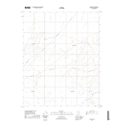 2020 Ear Rock2020 Print · USGSMcKinley County, New Mexico, is shown here as a landscape of interconnected desert drainages and remote service routes during the early twenty-first century. Researchers can trace the paths of Tocito Wash and Coyote Wash or locate landmarks like Ear Rock and Big Thumb Spring.
 - 2020 Map of Coyote Canyon, 2020 Print
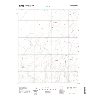 2020 Coyote Canyon2020 Print · USGSCoyote Canyon and the high-desert plateau of the Fort Defiance Agency are shown here in the early twenty-first century. Researchers can trace the drainage of Coyote Wash and locate landmarks like Little Ear Mtn or the natural Coyote Arch near the main canyon floor.
 - 2020 Map of Oak Spring, 2020 Print
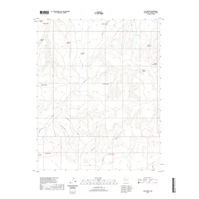 2020 Oak Spring2020 Print · USGSMcKinley County, New Mexico, is shown here in the early twenty-first century, revealing a landscape of high mesas and deep desert canyons. Researchers can trace the drainages of Soft Water Wash and the Puerco River or locate remote water sources like Oak Spring and Rock Spring.
 - 2020 Map of Sheep Springs, 2020 Print
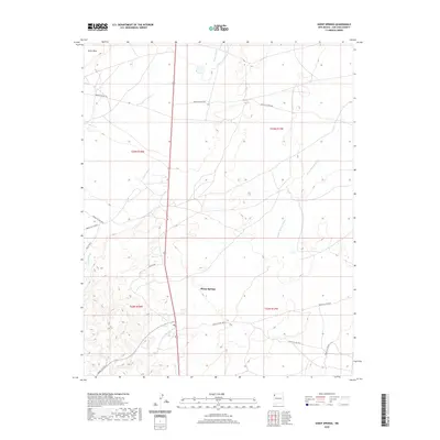 2020 Sheep Springs2020 Print · USGSThe Shiprock Agency region is captured here in recent years, centered on the settlement of Sheep Springs. Researchers can trace the complex network of local transit routes like Indian Svc Rte 192 and Ind Sr 5009 as they cross Tuntsa Wash.
 - 2020 Map of Crevasse Canyon, 2020 Print
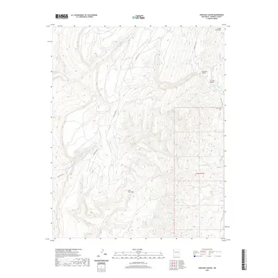 2020 Crevasse Canyon2020 Print · USGSThe Chuska Mountains and their high-plateau drainage systems are documented here in the early twenty-first century. Researchers can trace the remote Lone Pine Cem and the rugged paths of Mexican Spring Wash and Crevasse Canyon.
 - 2020 Map of East of Great Bend, 2020 Print
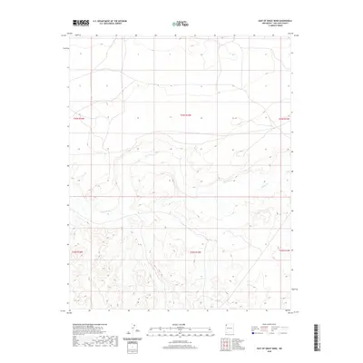 2020 East of Great Bend2020 Print · USGSShiprock Agency territory near the turn of the decade is defined by the high desert plateau and the winding path of the Chaco River. Geologists and land researchers can trace the detailed township boundaries of T23N R15W and T22N R15W across this arid drainage basin.
 - 2020 Map of Grey Hill Spring, 2020 Print
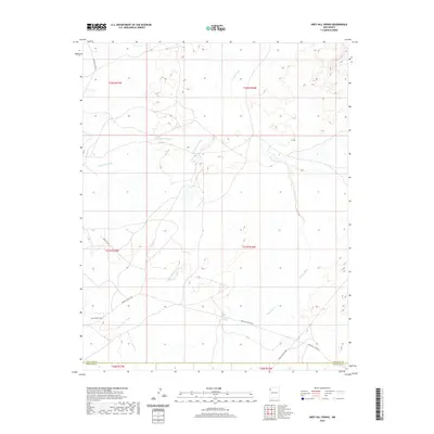 2020 Grey Hill Spring2020 Print · USGSNorthwestern New Mexico in the early twenty-first century is defined here by the arid drainage systems of the Fort Defiance Agency region. Researchers can trace land use patterns along Coyote Wash and locate the remote Grey Hill Spring near Indian Svc Rte 9652.
 - 2020 Map of Toyee, 2020 Print
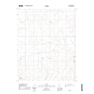 2020 Toyee2020 Print · USGSThe settlement of Toyee and its surrounding canyons are captured here in the high desert of McKinley County. Researchers can trace the paths of Soft Water Wash and Standing Rock Wash or locate the historic Toyee Spring along Navajo Svc Rte 9.
 - 2020 Map of East of Grey Hill Spring, 2020 Print
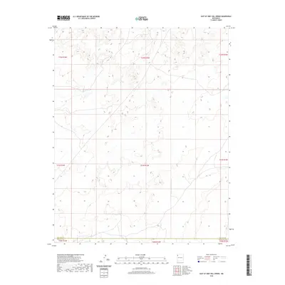 2020 East of Grey Hill Spring2020 Print · USGSNorthwestern New Mexico's arid interior is documented here during the early twenty-first century, showing the exact surveyed line between San Juan Co and McKinley Co. Land researchers can trace the intricate township and range divisions, including T22N R15W and T21N R15W, across a landscape of high desert drainages.
 - 2020 Map of Great Bend, 2020 Print
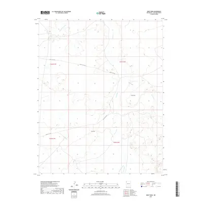 2020 Great Bend2020 Print · USGSSan Juan County in the early twenty-first century reveals a landscape of high mesas and shifting riverbeds. Genealogists and local historians can trace the course of the Chaco River past landmarks like Great Bend and the expanse of Day Mesa.
 - 2020 Map of Naschitti, 2020 Print
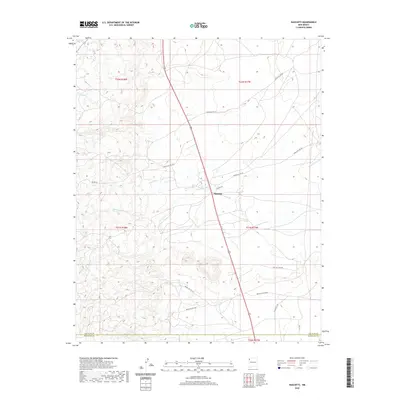 2020 Naschitti2020 Print · USGSNavajo Nation lands at the San Juan and McKinley county line are captured here in the modern era. Genealogists and local historians can trace the road network around Naschitti, including Indian Svc Rte 69 and the drainage of Naschitti Wash.
 - 2020 Map of West of La Vida Mission, 2020 Print
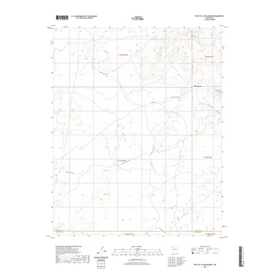 2020 West of La Vida Mission2020 Print · USGSThe high plateaus and arroyos of the New Mexico desert are captured here as they appeared in 2020. Researchers can trace tribal infrastructure through the paths of Indian Svc Rte 7060 and Indian Svc Rte 108 near landmarks like White Rock.
 - 2020 Map of Crystal, 2020 Print
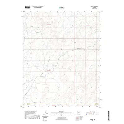 2020 Crystal2020 Print · USGSThe Chuska Mountains and the settlement of Crystal define this high-country landscape during the early twenty-first century. Researchers can trace remote service routes and find named water sources like Sage Lake, Vicenti Spring, and Berland Lake.
Showing maps 1-25 of 162
Top cities near Fort Defiance Agency
Top neighborhoods of Fort Defiance Agency
- Chakpahu historical maps
- Navajo historical maps
- Twin Buttes historical maps
- Naschitti historical maps
- Buffalo Springs historical maps
- Twin Lakes historical maps
See more
Frequently asked questions
- What are the different types of historical maps available for Fort Defiance Agency?
- What is the oldest map of Fort Defiance Agency?
- Where can I purchase historical maps of Fort Defiance Agency for my home or office?
- Where can I download high-res historical maps of Fort Defiance Agency?
- Are there historical topographic maps available for Fort Defiance Agency?
- Is there historical aerial imagery available for Fort Defiance Agency?
- Where are historical maps of Fort Defiance Agency sourced from?