2020s Maps of Idaho
Explore 3,446 historic maps of Idaho from the 2020s. These maps offer a rare glimpse into what life looked like during the 2020s — showing old roads, neighborhoods, homes, and landmarks that have changed or disappeared over time.
Whether you're researching your family's past, planning a metal detecting trip, or studying how Idaho's landscape evolved across the 2020s, these high-resolution maps are a powerful tool for exploring the history of this region.
- Focus on a specific era: All maps on this page are from the 2020s, giving you a focused view of this time period.
- See what’s changed: Compare century-old streets, trails, and buildings to today's modern landscape using overlays and satellite layers.
- Research with precision: Use these maps for genealogy, historical research, land use analysis, or educational projects.
- View, download, or print: Maps are fully viewable online in high resolution, and can be downloaded or printed for your own records.
Start exploring Idaho's history through authentic maps from the 2020s. This is your window into the past.
Idaho maps
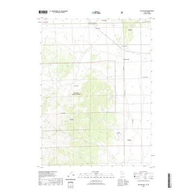
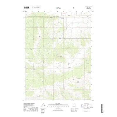
(3,446)- 2020 Map of Naomi Peak, 2020 Print
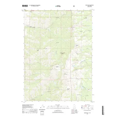 2020 Naomi Peak2020 Print · USGSCovers Idaho, including Cache County, Franklin County, and other nearby areas
 - 2020 Map of Monument Peak NW, 2020 Print
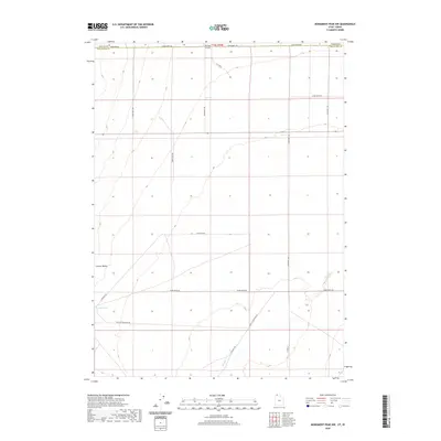 2020 Monument Peak NW2020 Print · USGSCovers Idaho, including Box Elder County, Oneida County, and other nearby areas
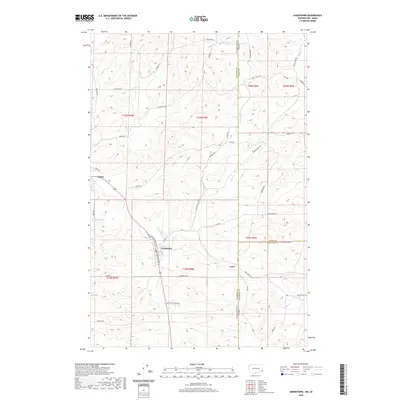
 - 2020 Map of Trenton, 2020 Print
 2020 Trenton2020 Print · USGSCovers Idaho, including Lewiston, Trenton, and other nearby areas
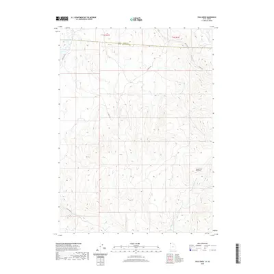
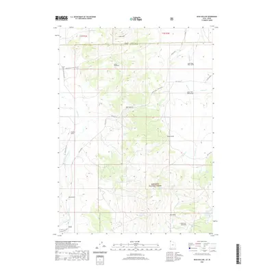
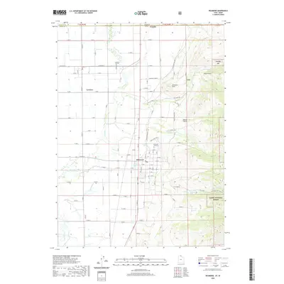
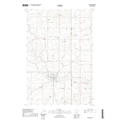
 - 2020 Map of Snowville, 2020 Print
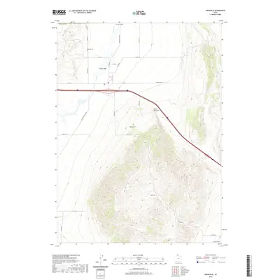 2020 Snowville2020 Print · USGSCovers Idaho, including Snowville, Box Elder County, and other nearby areas
 - 2020 Map of Monument Peak NE, 2020 Print
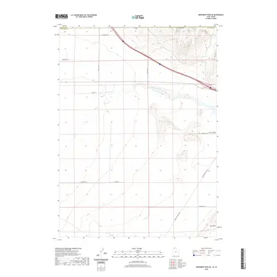 2020 Monument Peak NE2020 Print · USGSCovers Idaho, including Box Elder County, Oneida County, and other nearby areas
 - 2020 Map of Rattlesnake Pass, 2020 Print
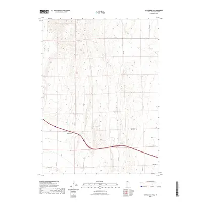 2020 Rattlesnake Pass2020 Print · USGSCovers Idaho, including Box Elder County, Oneida County, and other nearby areas
 - 2020 Map of Clarkston, 2020 Print
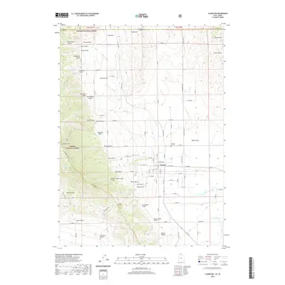 2020 Clarkston2020 Print · USGSCovers Idaho, including Clarkston, Cache County, and other nearby areas
 - 2020 Map of Garden City, 2020 Print
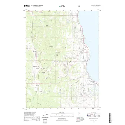 2020 Garden City2020 Print · USGSCovers Idaho, including Garden City, Garden, and other nearby areas
 - 2020 Map of Yost, 2020 Print
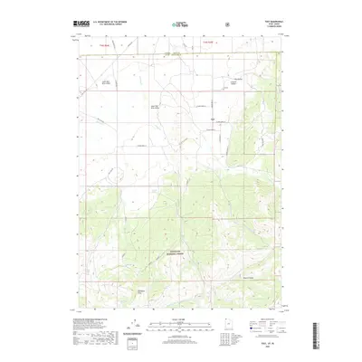 2020 Yost2020 Print · USGSCovers Idaho, including Yost, Box Elder County, and other nearby areas
 - 2020 Map of Kelton Pass, 2020 Print
 2020 Kelton Pass2020 Print · USGSCovers Idaho, including Hardup, Cedar Creek, and other nearby areas
 - 2020 Map of Curlew Junction, 2020 Print
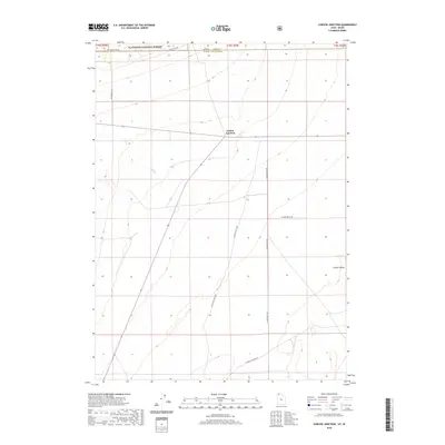 2020 Curlew Junction2020 Print · USGSCovers Idaho, including Curlew Junction, Box Elder County, and other nearby areas
 - 2020 Map of Rosevere Point, 2020 Print
 2020 Rosevere Point2020 Print · USGSCovers Idaho, including Box Elder County, Cassia County, and other nearby areas
 - 2020 Map of Cotton Thomas Basin, 2020 Print
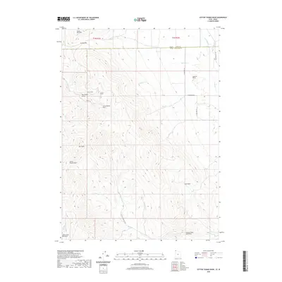 2020 Cotton Thomas Basin2020 Print · USGSCovers Idaho, including Box Elder County, Cassia County, and other nearby areas
 - 2020 Map of Pole Creek, 2020 Print
 2020 Pole Creek2020 Print · USGSCovers Idaho, including Box Elder County, Cassia County, and other nearby areas
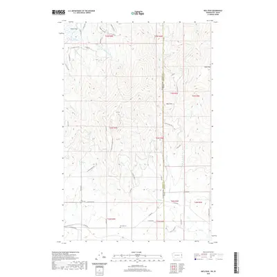
 - 2020 Map of Standrod, 2020 Print
 2020 Standrod2020 Print · USGSCovers Idaho, including Standrod, Box Elder County, and other nearby areas
 - 2020 Map of Buck Hollow, 2020 Print
 2020 Buck Hollow2020 Print · USGSCovers Idaho, including Box Elder County, Cassia County, and other nearby areas
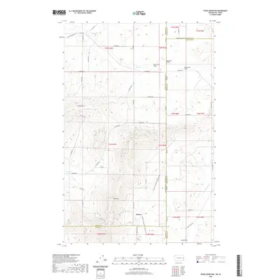
 - 2020 Map of Tony Grove Creek, 2020 Print
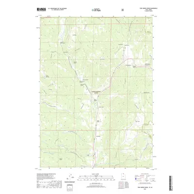 2020 Tony Grove Creek2020 Print · USGSCovers Idaho, including Cache County, Franklin County, and other nearby areas
 - 2020 Map of Richmond, 2020 Print
 2020 Richmond2020 Print · USGSCovers Idaho, including Richmond, Lewiston, and other nearby areas
 - 2020 Map of Portage, 2020 Print
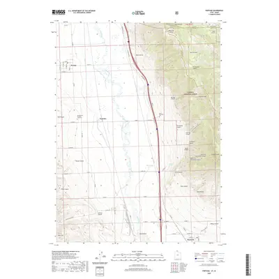 2020 Portage2020 Print · USGSCovers Idaho, including Plymouth, Portage, and other nearby areas
 - 2020 Map of Uniontown, 2020 Print
 2020 Uniontown2020 Print · USGSCovers Idaho, including Colton, Uniontown, and other nearby areas
 - 2020 Map of Palouse, 2020 Print
 2020 Palouse2020 Print · USGSCovers Idaho, including Palouse, Ladow, and other nearby areas
 - 2020 Map of Clarkston, 2020 Print
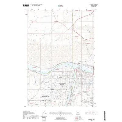 2020 Clarkston2020 Print · USGSCovers Idaho, including Lewiston, Clarkston, and other nearby areas
 - 2020 Map of Asotin, 2020 Print
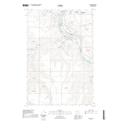 2020 Asotin2020 Print · USGSCovers Idaho, including Lewiston, Asotin, and other nearby areas
 - 2020 Map of Mica Peak, 2020 Print
 2020 Mica Peak2020 Print · USGSCovers Idaho, including Spokane County, Kootenai County, and other nearby areas
 - 2020 Map of Tekoa Mountain, 2020 Print
 2020 Tekoa Mountain2020 Print · USGSCovers Idaho, including Spokane County, Kootenai County, and other nearby areas
Showing maps 1-25 of 3,446
Top cities of Idaho
- Boise historical maps
- Meridian historical maps
- Nampa historical maps
- Idaho Falls historical maps
- Caldwell historical maps
- Pocatello historical maps
See more
Top counties of Idaho
- Ada County historical maps
- Canyon County historical maps
- Kootenai County historical maps
- Bonneville County historical maps
- Bannock County historical maps
- Twin Falls County historical maps
See more
Frequently asked questions
- What are the different types of historical maps available for Idaho?
- What is the oldest map of Idaho?
- Where can I purchase historical maps of Idaho for my home or office?
- Where can I download high-res historical maps of Idaho?
- Are there historical topographic maps available for Idaho?
- Is there historical aerial imagery available for Idaho?
- Where are historical maps of Idaho sourced from?