1960s Maps of Idaho
Explore 1,460 historic maps of Idaho from the 1960s. These maps offer a rare glimpse into what life looked like during the 1960s — showing old roads, neighborhoods, homes, and landmarks that have changed or disappeared over time.
Whether you're researching your family's past, planning a metal detecting trip, or studying how Idaho's landscape evolved across the 1960s, these high-resolution maps are a powerful tool for exploring the history of this region.
- Focus on a specific era: All maps on this page are from the 1960s, giving you a focused view of this time period.
- See what’s changed: Compare century-old streets, trails, and buildings to today's modern landscape using overlays and satellite layers.
- Research with precision: Use these maps for genealogy, historical research, land use analysis, or educational projects.
- View, download, or print: Maps are fully viewable online in high resolution, and can be downloaded or printed for your own records.
Start exploring Idaho's history through authentic maps from the 1960s. This is your window into the past.
Idaho maps
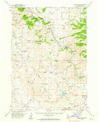
- 1960 Map of Ogden
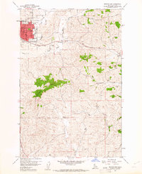
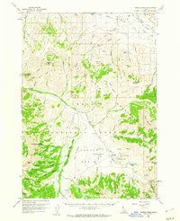
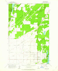
 1960 Ogden1960 Print · USGSIn the mid-1950s, this region of the American West balanced military expansion with frontier history along the Union Pacific RR. Genealogists and historians can trace old settlements like Fort Bridger, the residential growth of Washington Terrace, and industrial sites from the Hill AFB complex to the coal mines of Kemmerer.
 - 1960 Map of Elk City
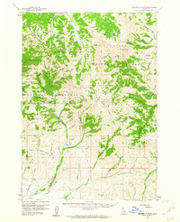
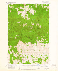
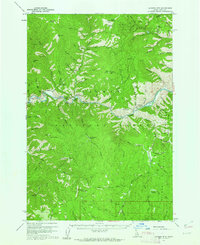
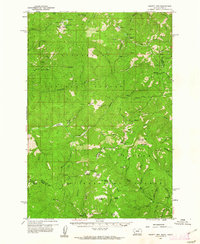
 1960 Elk City1960 Print · USGSThe Central Idaho wilderness and Bitterroot Range are captured here during the peak of mid-century industrial mining. Researchers can trace remote backcountry settlements like Burgdorf and Warren, alongside major mineral sites including the Blackbird Mine and Ima Mine.2 unique versions available
 - 1960 Map of Ashton
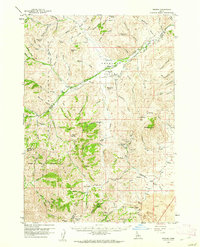
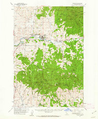
 1960 Ashton1960 Print · USGSThe Idaho-Montana-Wyoming borderlands at the dawn of the sixties show a landscape defined by the Continental Divide and early wilderness tourism. Genealogists and historians can trace rail-stop settlements like Trude Siding, old outposts like Warm River, and early lodging at Snowball Inn.
 - 1960 Map of Wallace
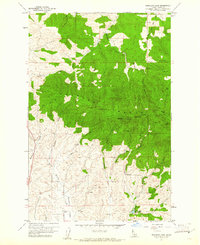
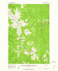
 1960 Wallace1960 Print · USGSNorthwestern Montana and the Idaho panhandle are captured in the late fifties, showing the vast Flathead Indian Reservation and the mining districts of the Bitterroot Range. Researchers can trace the rail lines of the Northern Pacific or locate early sites like the Morning Mine and the National Bison Range.
 - 1960 Map of Challis
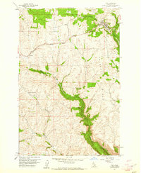
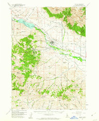
 1960 Challis1960 Print · USGSCentral Idaho’s high backcountry is detailed here in the early sixties, showing the remote ranching and mining life across five national forests. Genealogists and researchers can trace family holdings at the Silva Ranch or Jones Ranch and find historic sites like Redfish Lake Lodge and Clayton.
 - 1960 Map of Hamilton
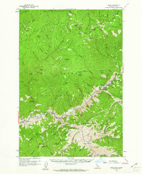
 1960 Hamilton1960 Print · USGSThe Bitterroot Valley and surrounding high country are captured here during the late fifties, showing the region's transition into a modern forest and rail corridor. Researchers can trace the path of the Northern Pacific through Missoula or locate landmarks like Fort Missoula and Lake Como.
 - 1960 Map of Muldoon Canyon, 1961 Print
 1960 Muldoon Canyon1961 Print · USGSThe Pioneer Mountains during the early sixties were a landscape defined by high-altitude mining and national forest management. Trace the legacy of extraction at the Muldoon site, the Idaho Muldoon Mine, and the Eagle Bird Mine.3 unique versions available
 - 1960 Map of Troy, 1961 Print
 1960 Troy1961 Print · USGSLatah County at the dawn of the 1960s shows a landscape of upland ridges and winding rail lines. Genealogists and local historians can trace the Northern Pacific tracks through Cornwall and Joel, or locate the Aspendale Community Hall.2 unique versions available
 - 1960 Map of Robinson Lake, 1961 Print
 1960 Robinson Lake1961 Print · USGSLatah County at the start of the 1960s is defined by the high peaks of the Palouse Range and its complex network of mountain streams. Trace the local topography from Paradise Point down to the White Cross Mine and the waters of Robinson Lake.3 unique versions available
 - 1960 Map of Grouse, 1961 Print
 1960 Grouse1961 Print · USGSAntelope Valley in the early 1960s was a landscape of remote mountain ranches and fading mining camps. Researchers can trace the heritage of vanished settlements at Martin (Site) or locate family landmarks like the Brockie Ranch and Antelope Cem.2 unique versions available
 - 1960 Map of Moscow Mtn, 1961 Print
 1960 Moscow Mtn1961 Print · USGSThe northern Idaho highlands are shown here in the early sixties as the timbered Palouse Range meets the agricultural flats. Genealogists and historians can locate the Beulah Cem and trace early mountain infrastructure like the Moscow Mtn Lookout.5 unique versions available
 - 1960 Map of Moscow East, 1961 Print
 1960 Moscow East1961 Print · USGSThe growing university town of Moscow and its surrounding Idaho wheat country are captured here at the start of the 1960s. Researchers can trace the early urban footprints of Russell School and St. Mary's School or follow the Northern Pacific line past Joel.3 unique versions available
 - 1960 Map of Painted Rocks Lake, 1961 Print
 1960 Painted Rocks Lake1961 Print · USGSThe Bitterroot mountains of western Montana are documented here in the early sixties, showing the remote canyon lands at the state border. Trace historic mountain routes like the Nez Perce Trail and locate the Copper Queen Mine or the settlement at Alta.3 unique versions available
 - 1960 Map of Mayfield, 1962 Print
 1960 Mayfield1962 Print · USGSElmore County's ranching and rail landscape is preserved here during the early sixties, showing the transition from the high desert to the national forest. Researchers can locate the Regina (Site) and trace the Union Pacific railroad past historic sites like Seven L Ranch and the local cemetery.3 unique versions available
 - 1960 Map of Danskin Peak, 1962 Print
 1960 Danskin Peak1962 Print · USGSElmore County’s high forest and river country are documented here in the early sixties, showing the remote stations and ranch lands of the Boise National Forest. Researchers can find old backcountry outposts like Willow Creek Guard Station and family landmarks such as Long Tom Ranch and Tollgate Hill.3 unique versions available
 - 1960 Map of Ulysses Mtn, 1962 Print
 1960 Ulysses Mtn1962 Print · USGSThe Salmon River corridor in the early sixties remained a landscape of isolated mines and Forest Service outposts. Researchers can locate the Ulysses Mine, trace old trails to Stormy Peak, and identify the settlement at Ulysses near the Indianola Ranger Station.3 unique versions available
 - 1960 Map of Shoup, 1962 Print
 1960 Shoup1962 Print · USGSThe Salmon River canyon and the Bitterroot Mountains come into focus in the early 1960s, showing a landscape defined by deep-vein mining and forest lookouts. Researchers can trace historic claims like the Kentucky Mine and Gold Hill Mine or locate the site of Reed Ranch.2 unique versions available
 - 1960 Map of Mackay, 1962 Print
 1960 Mackay1962 Print · USGSMackay and the Big Lost River Valley are shown at a peak of mining and rail activity in the early sixties. Researchers can trace the legacy of the Empire Mine and Darlington Shaft or locate historic burials at Battleground Cem and Nigger Hill Cem.2 unique versions available
 - 1960 Map of Copper Basin, 1962 Print
 1960 Copper Basin1962 Print · USGSCuster County ranching and mining high country is captured here during the early sixties. Genealogists and local historians can locate the Barton Cem, the Mackay Fish Hatchery, and remote outposts like the Corral Creek Cow Camp.2 unique versions available
 - 1960 Map of Piquett Mountain, 1962 Print
 1960 Piquett Mountain1962 Print · USGSThe high Bitterroot divide during the early sixties shows a landscape of mountain lookouts and remote mining camps. Genealogists and historians can locate isolated sites like Henderson Cabin, Emmett, and the Open Pit Mine near Hughes.3 unique versions available
 - 1960 Map of Potlatch, 1962 Print
 1960 Potlatch1962 Print · USGSLatah County timber and rail culture are on full display in the early 1960s as the Washington Idaho and Montana Railway threads through the river valley. Researchers can trace historic industrial sites like the Wheelbarrow Mine and locate rural hubs like Potlatch and Onaway.2 unique versions available
 - 1960 Map of Straight Peak, 1963 Print
 1960 Straight Peak1963 Print · USGSThe high Bitterroots along the Idaho and Montana border are shown here as they were mapped in the late fifties. You can locate remote high-country outposts like Hole-in-the-Wall Ranch, the Clear Water Crossing Ranger Station, and the Placer Mine near the Montana line.3 unique versions available
 - 1961 Map of Wells
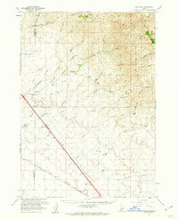
 1961 Wells1961 Print · USGSNortheastern Nevada's high basin and range country is captured here during the early sixties, showing the vital rail corridors and ranching outposts. Researchers can trace the heritage of remote settlements like Metropolis, locate the Delano Mines, and follow the path of the Southern Pacific through the Pequop Mountains.
 - 1961 Map of Hayden, 1962 Print
 1961 Hayden1962 Print · USGSNorth of Coeur d'Alene in the early sixties, the landscape shows a transition from the industrial Rathdrum Prairie to the recreational shores of Hayden Lake. Researchers can trace family sites near Hayden, locate Pine Grove Cem, or follow the path of the Spokane International railroad.2 unique versions available
 - 1961 Map of Bayview, 1962 Print
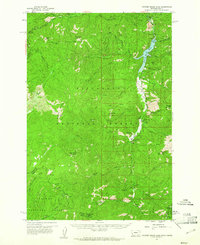
 1961 Bayview1962 Print · USGSThe northern tip of Lake Pend Oreille meets the Idaho panhandle's deep forests in the early sixties. Researchers can trace the military history of the Naval Reservation near Bayview or locate remote landmarks like The Old Maids Clearing and Bunco Corners.
Showing maps 1-25
Top cities of Idaho
- Boise historical maps
- Meridian historical maps
- Nampa historical maps
- Idaho Falls historical maps
- Caldwell historical maps
- Pocatello historical maps
See more
Top counties of Idaho
- Ada County historical maps
- Canyon County historical maps
- Kootenai County historical maps
- Bonneville County historical maps
- Bannock County historical maps
- Twin Falls County historical maps
See more
Frequently asked questions
- What are the different types of historical maps available for Idaho?
- What is the oldest map of Idaho?
- Where can I purchase historical maps of Idaho for my home or office?
- Where can I download high-res historical maps of Idaho?
- Are there historical topographic maps available for Idaho?
- Is there historical aerial imagery available for Idaho?
- Where are historical maps of Idaho sourced from?