2000s (21st Century) Maps of Idaho
Explore 8,681 historic maps of Idaho from the 2000s (21st Century). These maps offer a rare glimpse into what life looked like during the 2000s — showing old roads, neighborhoods, homes, and landmarks that have changed or disappeared over time.
Whether you're researching your family's past, planning a metal detecting trip, or studying how Idaho's landscape evolved across the 2000s, these high-resolution maps are a powerful tool for exploring the history of this region.
- Focus on a specific era: All maps on this page are from the 2000s, giving you a focused view of this time period.
- See what’s changed: Compare century-old streets, trails, and buildings to today's modern landscape using overlays and satellite layers.
- Research with precision: Use these maps for genealogy, historical research, land use analysis, or educational projects.
- View, download, or print: Maps are fully viewable online in high resolution, and can be downloaded or printed for your own records.
Start exploring Idaho's history through authentic maps from the 2000s. This is your window into the past.
Idaho maps
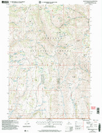
(8,681)- 2000 Map of Buffalo Lake NE, 2005 Print
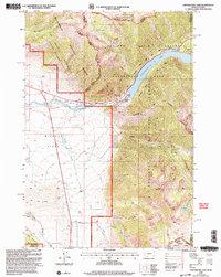
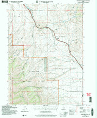
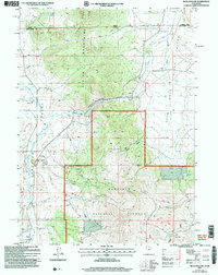
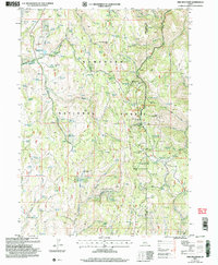
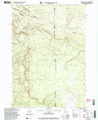 2000 Buffalo Lake NE2005 Print · USGSThe high wilderness where Idaho, Montana, and Wyoming meet is captured here at the turn of the millennium. Trace the Continental Divide as it cuts between Yellowstone National Park and the canyons of Moose Creek.
 - 2000 Map of Reas Pass, 2005 Print
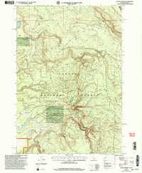
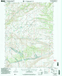
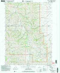
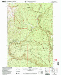 2000 Reas Pass2005 Print · USGSThe high Idaho-Montana borderlands are captured here at the turn of the millennium within the Targhee National Forest. Researchers can trace the Continental Divide and find landmarks like the Big Springs Lookout (Site) and the remote Reas Pass.
 - 2000 Map of Targhee Pass, 2005 Print
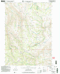
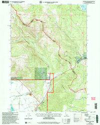 2000 Targhee Pass2005 Print · USGSThe high alpine pass between Idaho and Montana comes to life in this late-twentieth-century survey of the Henrys Lake Mountains. Trace the rugged ridgelines along the Continental Divide and find local landmarks like Targhee Cemetery and Lionhead Resort.
 - 2000 Map of Madison Arm, 2005 Print
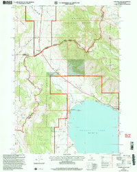
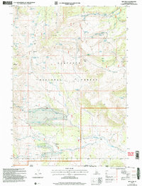
 2000 Madison Arm2005 Print · USGSThe Montana-Idaho borderland near West Yellowstone is captured here at the turn of the century, showing a landscape shaped by forest recreation and water. Researchers can trace the development of seasonal communities like Madison Arm Resort and Bar N Ranch near Hebgen Lake.
 - 2000 Map of Targhee Peak, 2005 Print
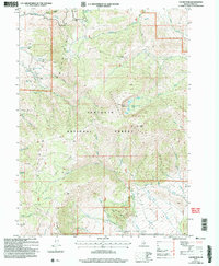
 2000 Targhee Peak2005 Print · USGSThe high mountain border between Idaho and Montana is captured here at the turn of the millennium, centered on the northern reaches of Henrys Lake. Genealogists and historians can locate legacy properties like the Wild Rose Ranch and Staley Springs along the rugged Continental Divide.
 - 2000 Map of Hebgen Dam, 2005 Print
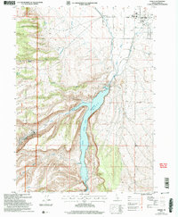
 2000 Hebgen Dam2005 Print · USGSGallatin County, Montana, was still reconciling its geology with its recreation at the start of the new millennium. Researchers can locate significant seismic landmarks like the Ghost Village and the Earthquake Scarp Exhibit alongside local landmarks like Watkins Creek Ranch.
 - 2000 Map of Earthquake Lake, 2005 Print
 2000 Earthquake Lake2005 Print · USGSThe Madison River valley was a landscape in transition at the turn of the millennium, defined by its massive mid-century landslide. Researchers can trace family ranching sites like Olifee Ranch alongside more modern developments like the Earthquake Memorial.
 - 2000 Map of Latham Spring, 2005 Print
 2000 Latham Spring2005 Print · USGSThe Continental Divide straddles the Idaho and Montana border at the turn of the century. Researchers can trace the rugged water network of the Targhee National Forest, including Latham Springs and Lucky Dog Spring.
 - 2001 Map of Elba, 2006 Print
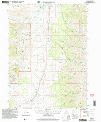 2001 Elba2006 Print · USGSCassia County was a vital corridor for westward emigrants at the height of the pioneer era. You can trace the Historic California National Trail past the community of Elba and search for local family names near the Elba Cem.
 - 2001 Map of North Heglar Canyon, 2006 Print
 2001 North Heglar Canyon2006 Print · USGSThe Sublett Range comes into focus at the turn of the millennium, showing a high-altitude landscape of the Sawtooth National Forest. Researchers can trace old resource leads at the Mine Dump or locate family-named water sources like Clint Palmer Spring and Bruce Young Spring.
 - 2001 Map of Sweetzer Canyon, 2006 Print
 2001 Sweetzer Canyon2006 Print · USGSThe high ridges of Cassia County meet at the turn of the century, showing a remote landscape where mountain ranges and national forest lands converge. Researchers can trace seasonal water sources and high-elevation landmarks like Sweetzer Summit, Indian Spring, and the Black Pine Mountains.
 - 2001 Map of Trapper Peak, 2006 Print
 2001 Trapper Peak2006 Print · USGSThe high country of the Sawtooth National Forest is shown here at the turn of the millennium. Researchers can locate remote landmarks like White Stump, the Father and Sons site, and summits such as Trapper Peak and Monument Peak.
 - 2001 Map of Basin, 2006 Print
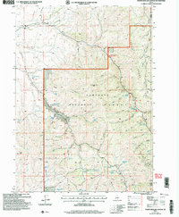
 2001 Basin2006 Print · USGSOakley and the surrounding high country of Cassia County are captured here just after the turn of the twenty-first century. Researchers can trace land use from the Basin Cem to the industrial footprints of Fish Creek Quarry and Camel Rock within the Sawtooth National Forest.
 - 2001 Map of Standrod, 2006 Print
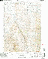
 2001 Standrod2006 Print · USGSThe borderlands of Box Elder County at the turn of the 21st century reveal a rugged landscape of high-mountain mining and ranching infrastructure. Researchers can locate remote resource sites like Open Pit Mines near Standrod and family-named landmarks such as Barnette Hollow and George Peak.
 - 2001 Map of Mahogany Butte, 2006 Print
 2001 Mahogany Butte2006 Print · USGSThe Sawtooth National Forest along the Idaho-Nevada border comes to life in this early 2000s study of the high-country terrain. Researchers can trace remote backcountry water sources and peaks like Mahogany Butte, Whitey Davis Spring, and Deerhorn Pass.
 - 2001 Map of Oakley, 2006 Print
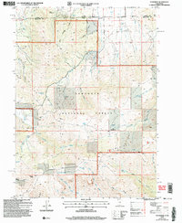
 2001 Oakley2006 Print · USGSOakley and the surrounding Goose Creek valley are shown here at the start of the twenty-first century, centered on the vital water management systems of the high desert. Researchers can trace the local irrigation network through the West Canal and aqueduct, or locate civic landmarks like the Cemetery and Rodeo Ground.
 - 2001 Map of Severe Spring, 2006 Print
 2001 Severe Spring2006 Print · USGSCassia County, Idaho, is documented here at the turn of the millennium within the protected lands of the Sawtooth National Forest. Researchers can trace old 4WD routes and specific high-country water sources like Severe Spring and Terrells Corral Creek.
 - 2001 Map of Hopper Gulch, 2006 Print
 2001 Hopper Gulch2006 Print · USGSShoshone Basin is captured here during the early years of the new millennium as it appeared under the management of the Forest Service. Tracing the water sources across the Sawtooth National Forest reveals sites like Alvins Well, Fourth of July Spring, and the Landing Strip.
 - 2001 Map of Buck Hollow, 2006 Print
 2001 Buck Hollow2006 Print · USGSCrossing the Utah-Idaho border at the turn of the millennium, this area reveals a landscape of high-altitude ranching and timber. Trace the rugged terrain of the Albion Mountains and locate features like the Rock Processing Yard and the remote Cem.
 - 2001 Map of Ibex Peak, 2006 Print
 2001 Ibex Peak2006 Print · USGSThe tri-state border region of Idaho, Nevada, and Utah is captured here at the turn of the millennium. Genealogists and researchers can trace remote outposts like Frish Ranch and the Prospect Worthington Mine among the peaks of the Sawtooth National Forest.
 - 2001 Map of Cache Peak, 2006 Print
 2001 Cache Peak2006 Print · USGSThe high Albion Mountains are shown in detail at the start of the 2000s, where the Sawtooth National Forest meets preserved granite landscapes. Researchers can trace remote mountain crossings like Basin-Elba Pass and locate landmarks like the Fish Creek Quarry or Independence Lakes.
 - 2001 Map of Sublett Troughs, 2006 Print
 2001 Sublett Troughs2006 Print · USGSOneida County's high-country terrain at the turn of the millennium preserves the path of western emigrants within the Sawtooth National Forest. Researchers can trace the California National Historic Trail and Hudspeth Cut-Off near Eyrie Peak and Rock Sublett Troughs.
 - 2001 Map of Pike Mountain, 2006 Print
 2001 Pike Mountain2006 Print · USGSThe Sawtooth high country of Twin Falls County comes into focus at the turn of the millennium, showing a landscape shaped by seasonal recreation and forestry. Researchers can trace the layout of the Magic Mountain Ski Area, the Historic Shoshone Cabin Site, and summer communities like the Balsam Summer Homes Area.
 - 2001 Map of Blue Hill, 2006 Print
 2001 Blue Hill2006 Print · USGSSouthern Idaho's high desert reveals its pioneer roots at the start of the twenty-first century, where the California National Historic Trail crosses the landscape. Trace the route of early emigrants past Blue Hill and historic water sources like Horseshoe Spring and Goose Creek.
 - 2001 Map of Timber Butte, 2006 Print
 2001 Timber Butte2006 Print · USGSThe Sawtooth National Forest at the turn of the millennium was a landscape of remote ridges and vital water sources along the Idaho-Nevada state line. Genealogists and historians can trace old homestead sites and water rights through landmarks like Timber Butte, Box Canyon Spring, and the Hot Springs.
Showing maps 1-25 of 8,681
Top cities of Idaho
- Boise historical maps
- Meridian historical maps
- Nampa historical maps
- Idaho Falls historical maps
- Caldwell historical maps
- Pocatello historical maps
See more
Top counties of Idaho
- Ada County historical maps
- Canyon County historical maps
- Kootenai County historical maps
- Bonneville County historical maps
- Bannock County historical maps
- Twin Falls County historical maps
See more
Frequently asked questions
- What are the different types of historical maps available for Idaho?
- What is the oldest map of Idaho?
- Where can I purchase historical maps of Idaho for my home or office?
- Where can I download high-res historical maps of Idaho?
- Are there historical topographic maps available for Idaho?
- Is there historical aerial imagery available for Idaho?
- Where are historical maps of Idaho sourced from?